367 High St Block Island, RI 02807
Estimated Value: $1,145,690 - $2,015,000
4
Beds
3
Baths
2,008
Sq Ft
$787/Sq Ft
Est. Value
About This Home
This home is located at 367 High St, Block Island, RI 02807 and is currently estimated at $1,580,345, approximately $787 per square foot. 367 High St is a home with nearby schools including Block Island School.
Create a Home Valuation Report for This Property
The Home Valuation Report is an in-depth analysis detailing your home's value as well as a comparison with similar homes in the area
Home Values in the Area
Average Home Value in this Area
Tax History
| Year | Tax Paid | Tax Assessment Tax Assessment Total Assessment is a certain percentage of the fair market value that is determined by local assessors to be the total taxable value of land and additions on the property. | Land | Improvement |
|---|---|---|---|---|
| 2025 | $4,079 | $708,100 | $354,400 | $353,700 |
| 2024 | $3,932 | $712,400 | $354,400 | $358,000 |
| 2023 | $4,289 | $712,400 | $354,400 | $358,000 |
| 2022 | $5,590 | $789,600 | $472,560 | $317,040 |
| 2021 | $5,290 | $789,600 | $472,560 | $317,040 |
| 2020 | $5,022 | $789,600 | $472,560 | $317,040 |
| 2019 | $4,864 | $789,600 | $472,560 | $317,040 |
| 2018 | $4,393 | $738,400 | $451,760 | $286,640 |
| 2017 | $4,327 | $738,400 | $451,760 | $286,640 |
| 2016 | $4,224 | $738,400 | $451,760 | $286,640 |
| 2015 | $5,131 | $931,300 | $564,700 | $366,600 |
| 2014 | $4,973 | $931,300 | $564,700 | $366,600 |
| 2013 | $4,484 | $860,700 | $489,900 | $370,800 |
Source: Public Records
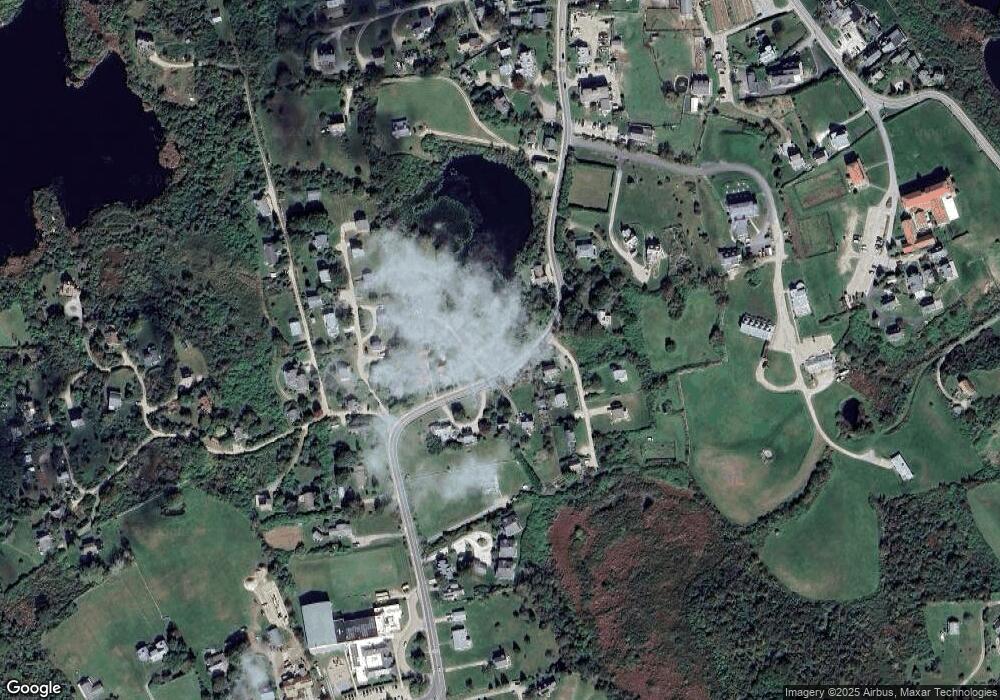
Map
Nearby Homes
- 1289 High St
- 1800 High St
- 256 High St
- 194 Pilot Hill Rd
- 0 Southeast Rd Unit 1381406
- 0 Pilot Hill Rd
- 454 Ocean Ave
- 1661 Sand Pond Rd
- 1087 Lakeside Dr
- 804 Mohegan Trail
- 557 Center Rd
- 0 Mohegan Trail
- 1202 W Side Rd
- 1448 Mohegan Trail
- 1035 Mohegan Trail
- 1501 Beacon Hill Rd
- 0 Snake Hole Rd
- 1627 Old Mill Rd
- 1720 Corn Neck Rd
- 1713 Corn Neck Rd
Your Personal Tour Guide
Ask me questions while you tour the home.