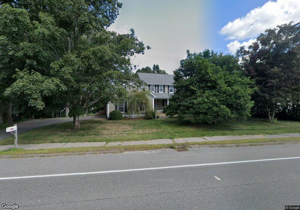
367 High St Randolph, MA 02368
North Randolph NeighborhoodEstimated Value: $628,000 - $842,000
3
Beds
2
Baths
2,357
Sq Ft
$318/Sq Ft
Est. Value
About This Home
This home is located at 367 High St, Randolph, MA 02368 and is currently estimated at $749,758, approximately $318 per square foot. 367 High St is a home located in Norfolk County with nearby schools including Randolph High School and Thayer Academy.
Create a Home Valuation Report for This Property
The Home Valuation Report is an in-depth analysis detailing your home's value as well as a comparison with similar homes in the area
Home Values in the Area
Average Home Value in this Area
Tax History
| Year | Tax Paid | Tax Assessment Tax Assessment Total Assessment is a certain percentage of the fair market value that is determined by local assessors to be the total taxable value of land and additions on the property. | Land | Improvement |
|---|---|---|---|---|
| 2025 | $7,887 | $679,300 | $229,700 | $449,600 |
| 2024 | $7,524 | $657,100 | $225,400 | $431,700 |
| 2023 | $7,729 | $639,800 | $204,800 | $435,000 |
| 2022 | $7,117 | $523,300 | $170,800 | $352,500 |
| 2021 | $6,978 | $472,100 | $142,200 | $329,900 |
| 2020 | $6,786 | $455,100 | $142,200 | $312,900 |
| 2019 | $6,425 | $428,900 | $135,500 | $293,400 |
| 2018 | $6,846 | $431,100 | $123,200 | $307,900 |
| 2017 | $6,472 | $400,000 | $114,900 | $285,100 |
| 2016 | $6,361 | $365,800 | $104,700 | $261,100 |
| 2015 | $6,053 | $334,400 | $99,600 | $234,800 |
Source: Public Records
Map
Nearby Homes
- 23 Old St
- 4 Franklin Square Unit 4F
- 10 Michael Rd
- 72 Canton St
- 9 Royal Crest Dr Unit 12
- 1 Royal Crest Dr Unit 12
- 51 Himoor Cir
- 232 Canton St Unit 308
- 232 Canton St Unit 112
- 232 Canton St Unit 104
- 902 Irving Rd Unit 902
- 875 N Main St
- 12 Howard Ave
- 195 High St
- 1 William Morrison Dr
- 6 Washington Dr
- 34 Orchard St
- 79 Gold St
- 20 Simmonds Blvd Unit 20
- 18 Simmonds Blvd Unit 18
Your Personal Tour Guide
Ask me questions while you tour the home.