Estimated Value: $721,000 - $978,000
3
Beds
2
Baths
3,230
Sq Ft
$255/Sq Ft
Est. Value
About This Home
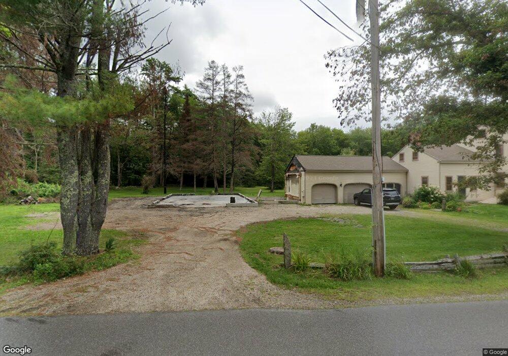
This home is located at 367 Loop Rd, Wells, ME 04090 and is currently estimated at $822,677, approximately $254 per square foot. 367 Loop Rd is a home located in York County with nearby schools including Wells Junior High School, Wells Elementary School, and Wells High School.
Ownership History
Date
Name
Owned For
Owner Type
Purchase Details
Closed on
Jan 25, 2019
Sold by
Leonhard Albert T
Bought by
Albert T Leonhard 3Rd Ret and Leonhard
Current Estimated Value
Purchase Details
Closed on
Oct 3, 2008
Sold by
Adriance Howard E
Bought by
Leonahard 3Rd Albert T and Leonhard Edith M
Home Financials for this Owner
Home Financials are based on the most recent Mortgage that was taken out on this home.
Original Mortgage
$299,000
Interest Rate
6.54%
Mortgage Type
Purchase Money Mortgage
Create a Home Valuation Report for This Property
The Home Valuation Report is an in-depth analysis detailing your home's value as well as a comparison with similar homes in the area
Home Values in the Area
Average Home Value in this Area
Purchase History
| Date | Buyer | Sale Price | Title Company |
|---|---|---|---|
| Albert T Leonhard 3Rd Ret | -- | -- | |
| Albert T Leonhard 3Rd Ret | -- | -- | |
| Albert T Leonhard 3Rd Ret | -- | -- | |
| Leonahard 3Rd Albert T | -- | -- | |
| Leonahard 3Rd Albert T | -- | -- |
Source: Public Records
Mortgage History
| Date | Status | Borrower | Loan Amount |
|---|---|---|---|
| Previous Owner | Leonahard 3Rd Albert T | $299,000 |
Source: Public Records
Tax History
| Year | Tax Paid | Tax Assessment Tax Assessment Total Assessment is a certain percentage of the fair market value that is determined by local assessors to be the total taxable value of land and additions on the property. | Land | Improvement |
|---|---|---|---|---|
| 2025 | $4,492 | $695,310 | $139,440 | $555,870 |
| 2024 | $3,587 | $590,040 | $139,440 | $450,600 |
| 2023 | $3,517 | $590,040 | $139,440 | $450,600 |
| 2022 | $4,789 | $457,800 | $61,860 | $395,940 |
| 2021 | $4,816 | $457,800 | $61,860 | $395,940 |
| 2020 | $4,763 | $454,440 | $66,450 | $387,990 |
| 2019 | $4,735 | $454,440 | $66,450 | $387,990 |
| 2018 | $4,453 | $454,440 | $66,450 | $387,990 |
| 2017 | $4,617 | $454,440 | $66,450 | $387,990 |
| 2016 | $4,572 | $454,440 | $66,450 | $387,990 |
| 2015 | $4,522 | $454,440 | $66,450 | $387,990 |
| 2013 | $4,080 | $447,320 | $66,450 | $380,870 |
Source: Public Records
Map
Nearby Homes
- 5 Willow Bend Ln
- 9 Willow Bend Ln
- 92 Julian Huxley Ln
- 9 Jennifer Ln Unit 3
- 238 Merriland Ridge Rd
- 3 Natures Way
- 1 Natures Way
- 4 Natures Way
- 0016/001 Newhall Rd
- 296 N Berwick Rd
- 580 Hiltons Ln Unit 4
- 141 Rabbit Run
- 10 Driftwood Trail
- 473 Tatnic Rd
- 35 Barefoot Cottage Rd Unit 105
- 231 Littlefield Rd Unit 1
- 415 N Village Rd
- 20 Locksmith Ln
- 874 Sanford Rd
- 430 Post Rd Unit 320
- 364 Loop Rd
- 364 Loop Rd Unit Lot 4
- 360 Loop Rd
- 360 Loop Rd Unit Lot 5
- 413 Loop Rd
- 404 Loop Rd
- 344 Loop Rd
- 341 Loop Rd
- 368 Loop Rd
- 425 Loop Rd
- Lot 4 Loop Ln
- 441 Loop Rd
- 331 Loop Rd
- Lot 1 Willow Bend Ln
- Lot 5 Loop Rd
- 71 Hickory Ln
- 9 Willow Bend Ln Unit Lot 9
- 55 Robin Hood Dr
- 102 Nottingham Dr
- 10 Green Rd
Your Personal Tour Guide
Ask me questions while you tour the home.