Estimated Value: $252,000 - $274,000
3
Beds
2
Baths
1,738
Sq Ft
$151/Sq Ft
Est. Value
About This Home
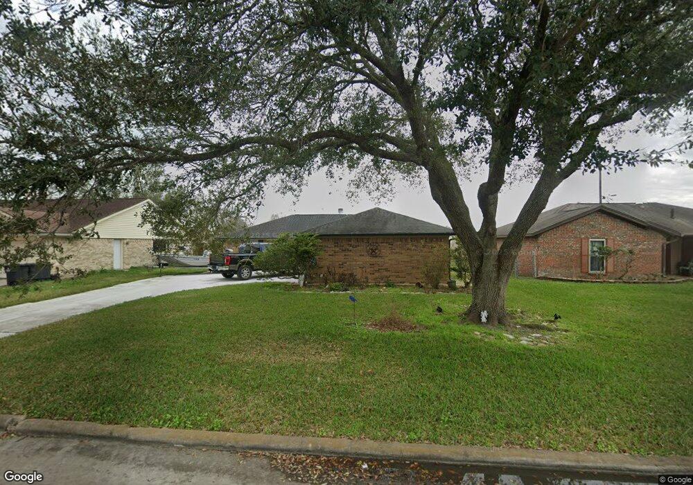
This home is located at 367 Merriwether Dr, Alvin, TX 77511 and is currently estimated at $262,176, approximately $150 per square foot. 367 Merriwether Dr is a home located in Brazoria County with nearby schools including R.L. Stevenson Primary School, Alvin Junior High School, and Alvin High School.
Ownership History
Date
Name
Owned For
Owner Type
Purchase Details
Closed on
Oct 8, 2020
Sold by
Martin Howard Thomas
Bought by
Martin Howard Thomas and Martin Suzanne Marie
Current Estimated Value
Purchase Details
Closed on
Aug 8, 2020
Sold by
Martin Howard Thomas
Bought by
Martin Howard Thomas and Martin Suzanne Marie
Purchase Details
Closed on
Sep 11, 2013
Sold by
Martin Debra Lynn
Bought by
Martin Howard Thomas
Home Financials for this Owner
Home Financials are based on the most recent Mortgage that was taken out on this home.
Original Mortgage
$80,000
Interest Rate
4.62%
Mortgage Type
Credit Line Revolving
Create a Home Valuation Report for This Property
The Home Valuation Report is an in-depth analysis detailing your home's value as well as a comparison with similar homes in the area
Home Values in the Area
Average Home Value in this Area
Purchase History
| Date | Buyer | Sale Price | Title Company |
|---|---|---|---|
| Martin Howard Thomas | -- | None Available | |
| Martin Howard Thomas | -- | Martin Howard | |
| Martin Howard Thomas | -- | Stewart Title |
Source: Public Records
Mortgage History
| Date | Status | Borrower | Loan Amount |
|---|---|---|---|
| Previous Owner | Martin Howard Thomas | $80,000 |
Source: Public Records
Tax History Compared to Growth
Tax History
| Year | Tax Paid | Tax Assessment Tax Assessment Total Assessment is a certain percentage of the fair market value that is determined by local assessors to be the total taxable value of land and additions on the property. | Land | Improvement |
|---|---|---|---|---|
| 2025 | $2,478 | $258,385 | $23,390 | $235,470 |
| 2023 | $2,478 | $213,541 | $24,220 | $212,380 |
| 2022 | $5,325 | $194,128 | $23,390 | $189,270 |
| 2021 | $5,095 | $196,850 | $22,050 | $174,800 |
| 2020 | $4,696 | $177,190 | $22,050 | $155,140 |
| 2019 | $4,381 | $157,840 | $16,710 | $141,130 |
| 2018 | $3,990 | $155,530 | $16,710 | $138,820 |
| 2017 | $3,673 | $124,360 | $16,710 | $107,650 |
| 2016 | $3,339 | $109,580 | $16,710 | $92,870 |
| 2014 | $2,911 | $106,330 | $16,710 | $89,620 |
Source: Public Records
Map
Nearby Homes
- 4850 Heathrow Ln
- 4800 Heathrow Ln
- 394 Sherandoe Ln
- 607 Debbie Ln
- 610 Linda Ln
- 350 Old Galveston Rd
- 0 County Road 424 Unit 33916690
- 00 Highway 6
- 1751 Rosharon Rd
- 0 W Highway 6 Unit 68293296
- 3925 Larkspur St
- 2840 County Road 160
- 0 County Road 160 Unit 92621783
- 4003 Country Trails St
- 3810 Westglen Dr
- 00 County Road 424
- 300 Mustang Rd
- 5022 Riverview Dr
- 1145 Westglen Dr
- 3221 County Road 890
- 369 Merriwether Dr
- 365 Merriwether Dr
- 375 Merriwether Dr
- 355 Merriwether Dr
- 364 Merriwether Dr
- 360 Merriwether Dr
- 366 Merriwether Dr
- 385 Merriwether Dr
- 4945 Kentington Dr
- 370 Merriwether Dr
- 4935 Kentington Dr
- 369 Somerset Ct
- 387 Merriwether Dr
- 380 Merriwether Dr
- 0002 Somerset
- 0001 Somerset
- 371 Somerset Ct
- 5010 Kentington Dr
- 4925 Kentington Dr
- 4940 Kentington Dr