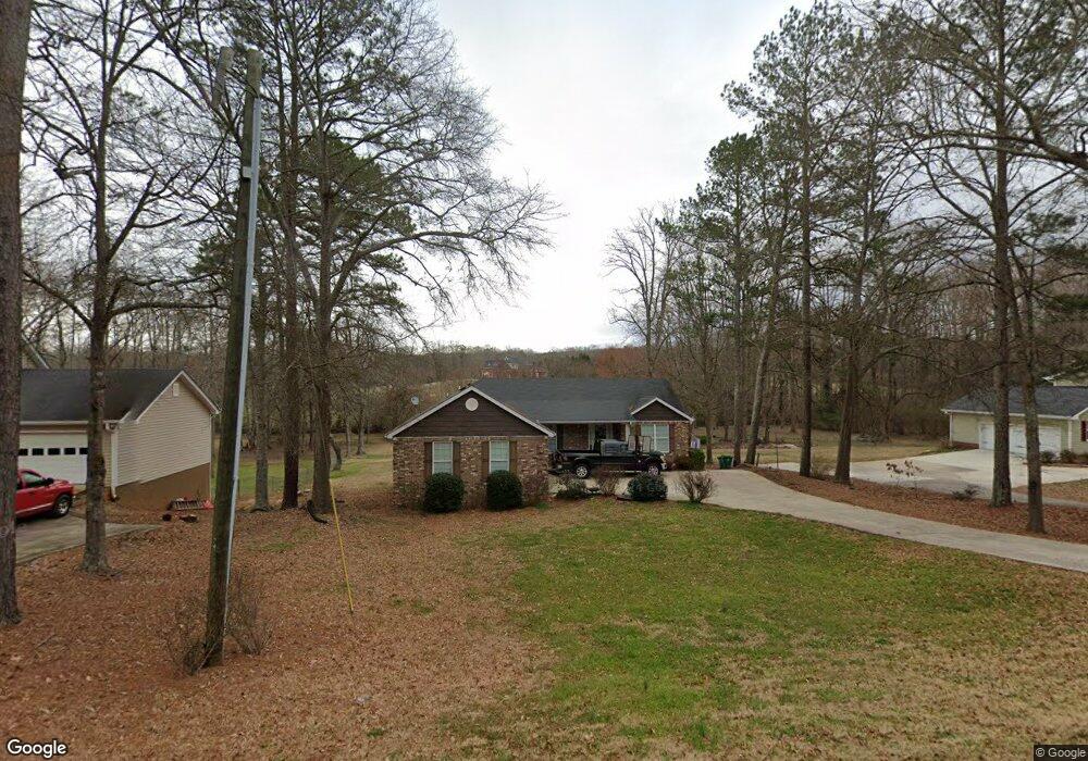
367 Miles Patrick Rd Unit 1 Winder, GA 30680
Estimated Value: $409,000 - $482,000
Studio
3
Baths
2,129
Sq Ft
$214/Sq Ft
Est. Value
About This Home
This home is located at 367 Miles Patrick Rd Unit 1, Winder, GA 30680 and is currently estimated at $455,505, approximately $213 per square foot. 367 Miles Patrick Rd Unit 1 is a home located in Barrow County with nearby schools including County Line Elementary School, Russell Middle School, and Winder-Barrow High School.
Ownership History
Date
Name
Owned For
Owner Type
Purchase Details
Closed on
Feb 16, 2007
Sold by
Richter Melanie
Bought by
Lisk Timothy D and Lisk Monica A
Current Estimated Value
Home Financials for this Owner
Home Financials are based on the most recent Mortgage that was taken out on this home.
Original Mortgage
$201,000
Outstanding Balance
$118,624
Interest Rate
6.17%
Mortgage Type
New Conventional
Estimated Equity
$336,881
Purchase Details
Closed on
Nov 15, 1987
Sold by
Allbritten Jeff
Bought by
Allbritten Mary Fran
Purchase Details
Closed on
Dec 15, 1984
Bought by
Allbritten Jeff
Create a Home Valuation Report for This Property
The Home Valuation Report is an in-depth analysis detailing your home's value as well as a comparison with similar homes in the area
Home Values in the Area
Average Home Value in this Area
Purchase History
| Date | Buyer | Sale Price | Title Company |
|---|---|---|---|
| Lisk Timothy D | $201,000 | -- | |
| Allbritten Mary Fran | -- | -- | |
| Allbritten Jeff | $5,000 | -- |
Source: Public Records
Mortgage History
| Date | Status | Borrower | Loan Amount |
|---|---|---|---|
| Open | Lisk Timothy D | $201,000 |
Source: Public Records
Tax History
| Year | Tax Paid | Tax Assessment Tax Assessment Total Assessment is a certain percentage of the fair market value that is determined by local assessors to be the total taxable value of land and additions on the property. | Land | Improvement |
|---|---|---|---|---|
| 2025 | $4,580 | $170,486 | $20,000 | $150,486 |
| 2024 | $4,598 | $166,789 | $20,000 | $146,789 |
| 2023 | $5,389 | $166,789 | $20,000 | $146,789 |
| 2022 | $4,216 | $128,813 | $18,000 | $110,813 |
| 2021 | $3,360 | $98,510 | $14,400 | $84,110 |
| 2020 | $3,008 | $91,740 | $14,400 | $77,340 |
| 2019 | $2,874 | $86,432 | $11,600 | $74,832 |
| 2018 | $2,864 | $86,432 | $11,600 | $74,832 |
| 2017 | $2,377 | $79,679 | $11,600 | $68,079 |
| 2016 | $2,431 | $76,692 | $11,600 | $65,092 |
| 2015 | $2,458 | $77,404 | $11,600 | $65,804 |
| 2014 | $2,309 | $73,416 | $6,860 | $66,556 |
| 2013 | -- | $68,994 | $6,860 | $62,134 |
Source: Public Records
Map
Nearby Homes
- 326 Miles Patrick Rd
- 154 Williamsburg Way
- 27 Creekside Dr
- 223 Lacey Ln
- 197 Buena Vista St
- 222 Ryan Rd
- 421 N 5th Ave
- 303 Rocky Point Ct
- 0 E Northcrest Dr Unit 10648147
- 326 Fayette Dr
- 469 Plantation Dr
- 436 Northcrest Dr
- 2050 Whispering Way
- 136 Alexander Ct
- 236 6th Ave
- 284 E 5th Ave
- 206 E 5th Ave
- 128 Northridge Dr
- 352 3rd Ave
- 273 Partridge Trail
- 375 Miles Patrick Rd Unit 1
- 363 Miles Patrick Rd
- 377 Miles Patrick Rd Unit 1
- 368 Miles Patrick Rd
- 2.23 ACRES Miles Patrick Rd
- 362 Miles Patrick Rd
- 379 Miles Patrick Rd Unit 1
- 355 Miles Patrick Rd
- 385 Miles Patrick Rd
- 351 Miles Patrick Rd
- 378 Miles Patrick Rd
- 374 Miles Patrick Rd
- 382 Miles Patrick Rd
- 349 Miles Patrick Rd
- 352 Miles Patrick Rd
- 386 Miles Patrick Rd
- 345 Miles Patrick Rd
- 390 Miles Patrick Rd Unit 1
- 391 Miles Patrick Rd Unit 1
- 89 Sims Rd
Your Personal Tour Guide
Ask me questions while you tour the home.