367 N 1060 E Unit 36 American Fork, UT 84003
Estimated Value: $466,000 - $546,000
2
Beds
2
Baths
2,804
Sq Ft
$181/Sq Ft
Est. Value
About This Home
This home is located at 367 N 1060 E Unit 36, American Fork, UT 84003 and is currently estimated at $506,588, approximately $180 per square foot. 367 N 1060 E Unit 36 is a home located in Utah County with nearby schools including Barratt Elementary School, American Fork Junior High School, and American Fork High School.
Ownership History
Date
Name
Owned For
Owner Type
Purchase Details
Closed on
Jun 19, 2021
Sold by
Tanner Michael W
Bought by
Owens Lisa Ann
Current Estimated Value
Purchase Details
Closed on
Aug 19, 2005
Sold by
Miller Af Associates Llc
Bought by
Tanner Michael W and Tanner Lois A
Create a Home Valuation Report for This Property
The Home Valuation Report is an in-depth analysis detailing your home's value as well as a comparison with similar homes in the area
Home Values in the Area
Average Home Value in this Area
Purchase History
| Date | Buyer | Sale Price | Title Company |
|---|---|---|---|
| Owens Lisa Ann | -- | None Available | |
| Tanner Michael W | -- | Equity Title |
Source: Public Records
Tax History Compared to Growth
Tax History
| Year | Tax Paid | Tax Assessment Tax Assessment Total Assessment is a certain percentage of the fair market value that is determined by local assessors to be the total taxable value of land and additions on the property. | Land | Improvement |
|---|---|---|---|---|
| 2025 | $2,368 | $264,715 | -- | -- |
| 2024 | $2,202 | $263,065 | $0 | $0 |
| 2023 | $108 | $259,435 | $0 | $0 |
| 2022 | $108 | $259,325 | $0 | $0 |
| 2021 | $277 | $362,700 | $100,000 | $262,700 |
| 2020 | $551 | $342,200 | $100,000 | $242,200 |
| 2019 | $1,743 | $317,400 | $100,000 | $217,400 |
| 2018 | $535 | $317,400 | $100,000 | $217,400 |
| 2017 | $1,606 | $150,920 | $0 | $0 |
| 2016 | $293 | $135,300 | $0 | $0 |
| 2015 | -- | $130,350 | $0 | $0 |
| 2014 | $198 | $118,250 | $0 | $0 |
Source: Public Records
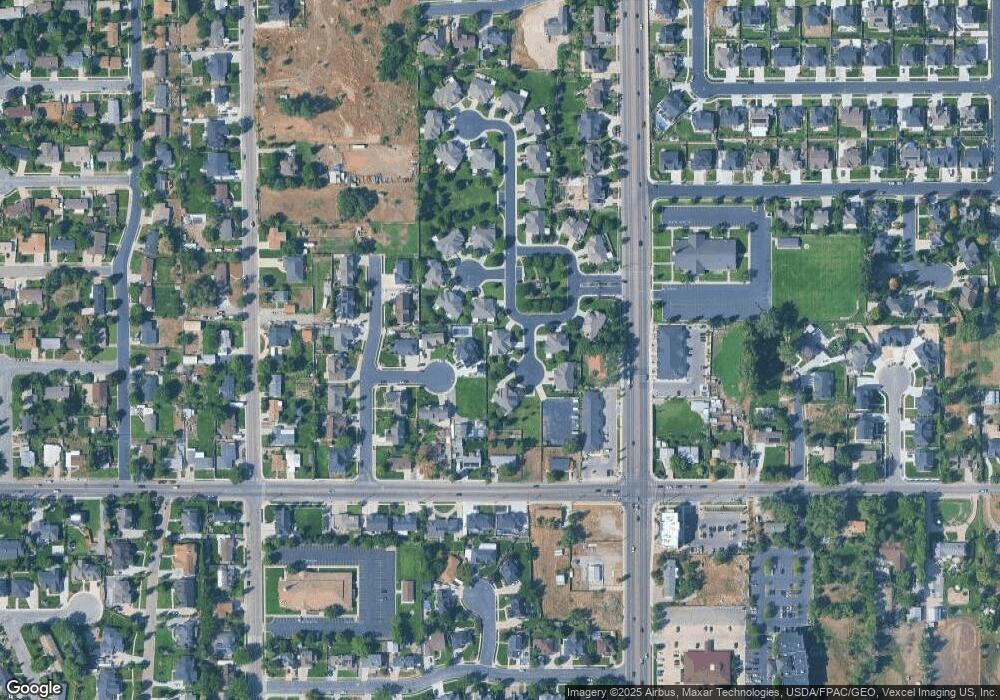
Map
Nearby Homes
- 322 N 900 E
- 478 N 900 E Unit 15
- 170 N 825 E
- 1121 E 580 N
- 2254 N 1560 W
- 649 N 1280 E
- 410 N 600 E
- 35 S 800 E
- 67 S 930 E
- 1879 W 1100 N
- 485 N 600 E
- 16 N 700 E Unit 21
- 1184 E 110 S
- 1198 E 110 S
- 92 S 920 E
- 759 W 930 N Unit 502
- 708 W 930 N Unit 505
- 734 W 930 N Unit 506
- 152 S 930 E
- Lytham Plan at Grove Acres
- 367 N 1060 East Cir
- 369 N 1060 E Unit 35
- 369 N 1060 East Cir
- 997 E 350 North Cir
- 371 N 1050 E
- 371 N 1050 E Unit 34
- 368 N 1060 E Unit 41
- 345 N 1060 East Cir
- 1046 E 380 North Cir
- 1046 E 380 North Cir Unit 33
- 345 N 1060 E Unit 37
- 368 N 1060 East Cir
- 343 N 1060 E Unit 38
- 343 N 1060 East Cir
- 343 N 1060 East Cir Unit 38
- 1076 E 370 N
- 1034 E 380 North Cir
- 1034 E 380 Cir N
- 1034 E 380 Cir N Unit 32
- 356 N 1060 East Cir