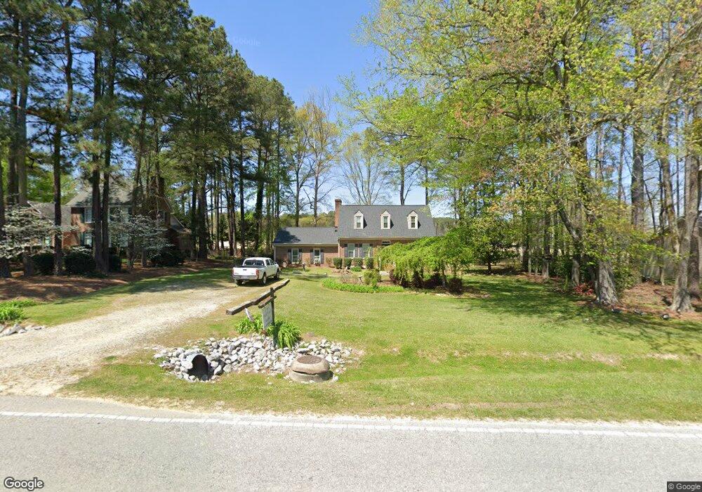
367 Nc 561 Hwy Louisburg, NC 27549
Estimated Value: $275,000 - $381,000
3
Beds
3
Baths
2,114
Sq Ft
$154/Sq Ft
Est. Value
About This Home
This home is located at 367 Nc 561 Hwy, Louisburg, NC 27549 and is currently estimated at $324,624, approximately $153 per square foot. 367 Nc 561 Hwy is a home located in Franklin County with nearby schools including Louisburg Elementary School, Terrell Lane Middle School, and Louisburg High School.
Ownership History
Date
Name
Owned For
Owner Type
Purchase Details
Closed on
Feb 21, 2023
Sold by
Herring Realty Llc
Bought by
Austin Mary Convery
Current Estimated Value
Purchase Details
Closed on
Sep 14, 2022
Sold by
Chesson Judy C
Bought by
Richardson Franklin Shawn
Purchase Details
Closed on
Feb 3, 2022
Sold by
Jordans Construction Inc
Bought by
Herring Realty Llc
Create a Home Valuation Report for This Property
The Home Valuation Report is an in-depth analysis detailing your home's value as well as a comparison with similar homes in the area
Home Values in the Area
Average Home Value in this Area
Purchase History
| Date | Buyer | Sale Price | Title Company |
|---|---|---|---|
| Convery Austin Mary | $385,000 | -- | |
| Convery Austin Mary | $385,000 | None Listed On Document | |
| Herring Homes | -- | -- | |
| Herring Realty Llc | -- | None Listed On Document | |
| Tortoise Ventures Llc | $38,000 | -- | |
| Richardson Franklin Shawn | -- | -- | |
| Richardson Franklin Shawn | -- | None Listed On Document | |
| Herring Realty Llc | -- | -- |
Source: Public Records
Tax History Compared to Growth
Tax History
| Year | Tax Paid | Tax Assessment Tax Assessment Total Assessment is a certain percentage of the fair market value that is determined by local assessors to be the total taxable value of land and additions on the property. | Land | Improvement |
|---|---|---|---|---|
| 2025 | $2,990 | $286,549 | $38,829 | $247,720 |
| 2024 | $2,990 | $286,549 | $38,829 | $247,720 |
| 2023 | $2,325 | $172,410 | $25,080 | $147,330 |
| 2022 | $2,229 | $172,410 | $25,080 | $147,330 |
| 2021 | $2,247 | $172,410 | $25,080 | $147,330 |
| 2020 | $2,253 | $172,410 | $25,080 | $147,330 |
| 2019 | $2,243 | $172,410 | $25,080 | $147,330 |
| 2018 | $2,238 | $172,410 | $25,080 | $147,330 |
| 2017 | $2,465 | $172,440 | $22,800 | $149,640 |
| 2016 | $2,563 | $172,440 | $22,800 | $149,640 |
| 2015 | $2,598 | $172,440 | $22,800 | $149,640 |
| 2014 | $2,482 | $172,440 | $22,800 | $149,640 |
Source: Public Records
Map
Nearby Homes
- 109 Drew St
- 7.69 Acres N Carolina 561
- 23.20 Acre N Carolina 561
- 10.26 Acre N Carolina 561
- 0-0 Halifax Rd
- 126 Person St
- 125 Davis St
- 612 N Main St
- 604 N Main St
- 101 Briarwood Ct
- 191 Nc 56 Hwy E
- 311 Nc 56 Hwy E
- 55 Leisure Ln
- 70 Leisure Ln
- 45 Leisure Ln
- 401 N Main St
- 491 Nc 56 Hwy E
- 205 Williamson St
- 321 W Noble St
- 121 Tanglewood Dr
- 375 N Carolina 561
- 375 Nc 561 Hwy
- 351 Nc 561 Hwy
- 383 Nc 561 Hwy
- 383 Nc 561 Hwy
- 345 Nc 561 Hwy
- 340 Nc 561 Hwy
- 104 Drew St
- 101 Lakeside Ave
- 401 Nc 561 Hwy
- 103 Lakeside Ave
- 106 Drew St
- 426 Nc 561 Hwy
- 289 Nc 561 Hwy
- 102 Lakeside Ave
- 419 Nc 561 Hwy
- 101 Russell Blvd
- 105 Drew St
- 103 Russell Blvd
- 298 Nc 561 Hwy