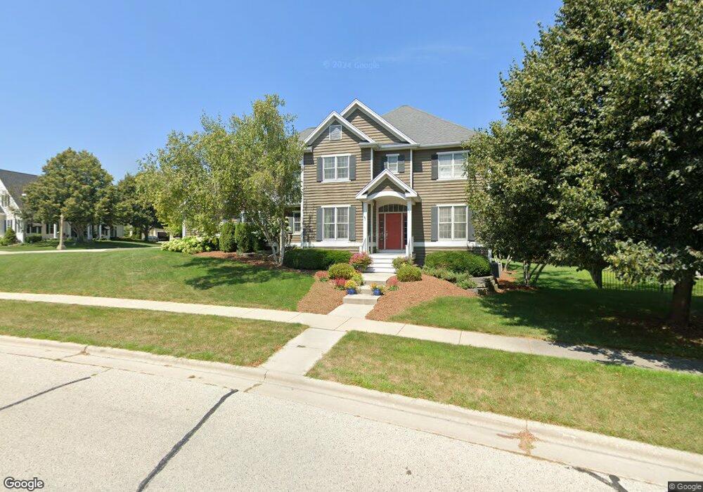
367 Phillip Dr Kohler, WI 53044
Estimated Value: $864,000 - $1,047,000
4
Beds
5
Baths
--
Sq Ft
0.32
Acres
About This Home
This home is located at 367 Phillip Dr, Kohler, WI 53044 and is currently estimated at $924,949. 367 Phillip Dr is a home located in Sheboygan County with nearby schools including Kohler Elementary School, Kohler High School, and St. Mary School.
Ownership History
Date
Name
Owned For
Owner Type
Purchase Details
Closed on
Mar 14, 2023
Sold by
Niesen Meredith L
Bought by
Haskett Michael and Merkel Christin
Current Estimated Value
Home Financials for this Owner
Home Financials are based on the most recent Mortgage that was taken out on this home.
Original Mortgage
$616,000
Outstanding Balance
$592,313
Interest Rate
5.75%
Mortgage Type
New Conventional
Estimated Equity
$332,636
Purchase Details
Closed on
Aug 30, 2018
Sold by
Behler Jeremy J
Bought by
Behler Meredith L
Purchase Details
Closed on
Sep 1, 2016
Sold by
Behler Jeremy J
Bought by
Silvestri Scott A
Create a Home Valuation Report for This Property
The Home Valuation Report is an in-depth analysis detailing your home's value as well as a comparison with similar homes in the area
Home Values in the Area
Average Home Value in this Area
Purchase History
| Date | Buyer | Sale Price | Title Company |
|---|---|---|---|
| Haskett Michael | $820,000 | -- | |
| Behler Meredith L | -- | Oneil Cannon Hollman & Dejong | |
| Silvestri Scott A | $525,000 | -- |
Source: Public Records
Mortgage History
| Date | Status | Borrower | Loan Amount |
|---|---|---|---|
| Open | Haskett Michael | $616,000 |
Source: Public Records
Tax History
| Year | Tax Paid | Tax Assessment Tax Assessment Total Assessment is a certain percentage of the fair market value that is determined by local assessors to be the total taxable value of land and additions on the property. | Land | Improvement |
|---|---|---|---|---|
| 2024 | $12,661 | $690,000 | $68,000 | $622,000 |
| 2023 | $11,147 | $690,000 | $68,000 | $622,000 |
| 2022 | $10,191 | $690,000 | $68,000 | $622,000 |
| 2021 | $10,730 | $525,000 | $56,500 | $468,500 |
| 2020 | $10,531 | $525,000 | $56,500 | $468,500 |
| 2019 | $10,561 | $525,000 | $56,500 | $468,500 |
| 2018 | $10,031 | $525,000 | $56,500 | $468,500 |
| 2017 | $10,892 | $525,000 | $56,500 | $468,500 |
| 2016 | $10,662 | $525,000 | $56,500 | $468,500 |
| 2015 | $10,644 | $525,000 | $56,500 | $468,500 |
| 2014 | $10,467 | $525,000 | $56,500 | $468,500 |
Source: Public Records
Map
Nearby Homes
- Lt45 Forest Rd
- 530 Meadow Cir E
- Lt10 Meadow Cir E
- Lt12 Meadow Cir E
- 540 Meadow Cir E
- 520 Meadow Cir E
- 560 Meadow Cir E
- 529 Meadow Cir W
- 519 Meadow Cir W
- 559 Meadow Cir W
- 539 Meadow Cir W
- Lt70 Meadow Cir N
- Lt69 Meadow Cir N
- Lt39 Forest Rd
- 545 Upper Rd
- 1089 Creeks Cross Rd Unit 2B
- 526 Pinetree Rd
- 154 South Rd
- 142 South Rd
- 543 Roosevelt Rd
- 365 Olmsted Ct
- 369 Woodlake Rd
- 357 Phillip Dr
- 368 Phillip Dr
- 359 Olmsted Ct
- 565 Sir Howard Ct
- 575 Sir Howard Ct
- 363 Olmsted Ct
- 364 Phillip Dr
- 361 Olmsted Ct
- 555 Sir Howard Ct
- 353 Frederick Ct
- 580 Sir Howard Cir
- 355 Phillip Dr
- 356 Phillip Dr
- 525 Sir Howard Ct
- 360 Woodlake Rd
- 572 Sir Howard Cir
- 535 Sir Howard Ct
- 370 Woodlake Rd
Your Personal Tour Guide
Ask me questions while you tour the home.