Estimated Value: $251,710 - $385,000
3
Beds
2
Baths
1,730
Sq Ft
$192/Sq Ft
Est. Value
About This Home
This home is located at 367 Porter St, Alto, GA 30510 and is currently estimated at $331,928, approximately $191 per square foot. 367 Porter St is a home located in Banks County with nearby schools including Banks County Primary School, Banks County Elementary School, and Banks County Middle School.
Ownership History
Date
Name
Owned For
Owner Type
Purchase Details
Closed on
Jul 11, 2022
Sold by
Lusk Freda Marolf
Bought by
Marolf Betty J
Current Estimated Value
Purchase Details
Closed on
Jun 30, 2022
Sold by
Johnson Kimberly R
Bought by
Marolf Betty J
Purchase Details
Closed on
Jun 20, 2022
Sold by
Marolf Justin
Bought by
Marolf Betty J
Purchase Details
Closed on
Jun 15, 2022
Sold by
Stromquist Tristi
Bought by
Marolf Betty J
Purchase Details
Closed on
Jun 1, 2022
Sold by
Juchcinski Tarahka
Bought by
Marolf Betty J
Purchase Details
Closed on
Sep 15, 2014
Sold by
Johnson Kimberly R
Bought by
Marolf William E and Marolf Betty J
Create a Home Valuation Report for This Property
The Home Valuation Report is an in-depth analysis detailing your home's value as well as a comparison with similar homes in the area
Home Values in the Area
Average Home Value in this Area
Purchase History
| Date | Buyer | Sale Price | Title Company |
|---|---|---|---|
| Marolf Betty J | -- | -- | |
| Marolf Betty J | -- | -- | |
| Marolf Betty J | -- | -- | |
| Marolf Betty J | -- | -- | |
| Marolf Betty J | -- | -- | |
| Marolf Betty J | -- | -- | |
| Marolf William E | -- | -- |
Source: Public Records
Tax History Compared to Growth
Tax History
| Year | Tax Paid | Tax Assessment Tax Assessment Total Assessment is a certain percentage of the fair market value that is determined by local assessors to be the total taxable value of land and additions on the property. | Land | Improvement |
|---|---|---|---|---|
| 2025 | $1,348 | $94,806 | $5,267 | $89,539 |
| 2024 | $1,348 | $90,625 | $5,267 | $85,358 |
| 2023 | $625 | $68,713 | $5,267 | $63,446 |
| 2022 | $685 | $52,591 | $1,580 | $51,011 |
| 2021 | $486 | $41,767 | $1,580 | $40,187 |
| 2020 | $501 | $41,836 | $1,580 | $40,256 |
| 2019 | $503 | $41,836 | $1,580 | $40,256 |
| 2018 | $490 | $40,921 | $1,580 | $39,341 |
| 2017 | $485 | $39,836 | $1,580 | $38,256 |
| 2016 | $499 | $39,836 | $1,580 | $38,256 |
| 2015 | $497 | $41,148 | $2,892 | $38,256 |
| 2014 | $497 | $41,148 | $2,892 | $38,256 |
| 2013 | -- | $41,148 | $2,892 | $38,256 |
Source: Public Records
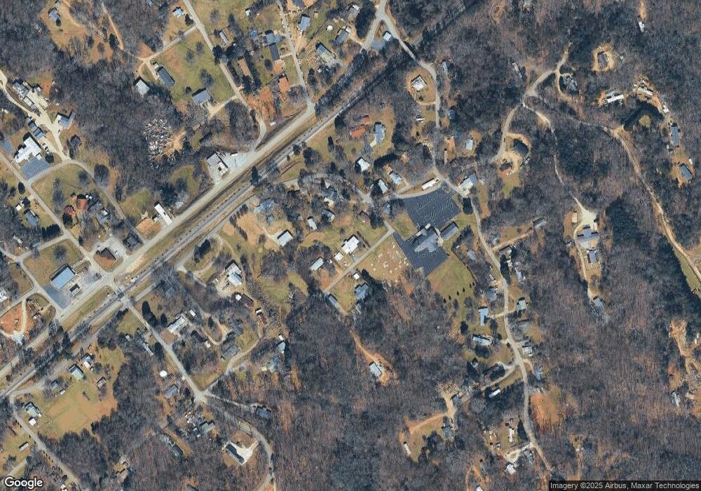
Map
Nearby Homes
- 603 Nix Rd
- 135 Oak Terrace Dr
- 117 Oak Terrace Dr
- 130 E Railroad Ave
- 2484 Apple Pie Ridge Rd Unit 11 ACRES
- 3073 Gainesville Hwy
- 2154 Apple Pie Ridge Rd
- 3568 State Route 365
- 933 Alto Mud Creek Rd
- 39 Planters Creek Dr
- 41 Planters Creek Dr
- 1085 Smokey Rd
- 0 Planters Pointe Dr Unit 10636110
- 0 Planters Pointe Ln Unit 10620249
- 0 Planters Creek Dr Unit Lot 34 CM1024458
- 140 Highland Pointe Dr
- 738 Wilbanks Rd
- 01 Planters Pointe Dr
- 0 State Route 365 Unit 10496178
- 0 State Route 365 Unit 10496183
- 333 Porter St
- 700 E Railroad Ave
- 310 E Railroad Ave
- 420 E Railroad Ave
- 750 E Railroad Ave
- 601 E Railroad Ave
- 300 E Railroad Ave
- 106 Five Point Dr
- 775 E Railroad Ave
- 220 E Railroad Ave
- 200 Wheeler St
- 550 Wheeler St
- 197 Wheeler St
- 143 Bennett Dr
- 499 Wheeler St
- 521 Wheeler St
- 232 Porter St
- 560 Wheeler St
- 111 Alto St
- 3843 Gainesville Hwy