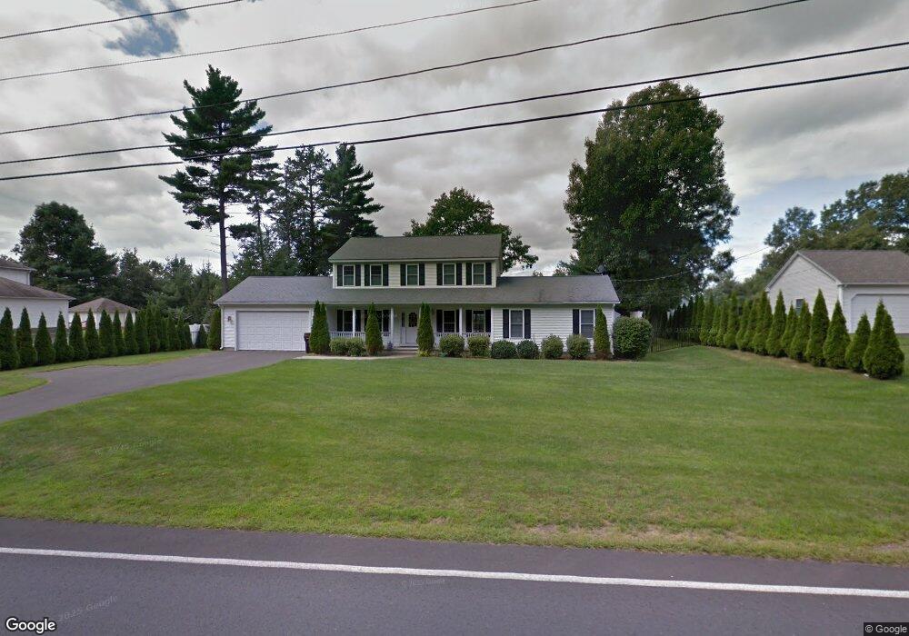
367 Springdale Rd Westfield, MA 01085
Estimated Value: $431,000 - $452,000
3
Beds
2
Baths
1,494
Sq Ft
$296/Sq Ft
Est. Value
About This Home
This home is located at 367 Springdale Rd, Westfield, MA 01085 and is currently estimated at $442,394, approximately $296 per square foot. 367 Springdale Rd is a home located in Hampden County with nearby schools including Westfield High School and Saint Mary High School.
Ownership History
Date
Name
Owned For
Owner Type
Purchase Details
Closed on
May 20, 2003
Sold by
Sunnyside Corp
Bought by
Picard Giles R and Picard Lori A
Current Estimated Value
Home Financials for this Owner
Home Financials are based on the most recent Mortgage that was taken out on this home.
Original Mortgage
$70,000
Outstanding Balance
$30,534
Interest Rate
5.84%
Mortgage Type
Purchase Money Mortgage
Estimated Equity
$411,860
Create a Home Valuation Report for This Property
The Home Valuation Report is an in-depth analysis detailing your home's value as well as a comparison with similar homes in the area
Home Values in the Area
Average Home Value in this Area
Purchase History
| Date | Buyer | Sale Price | Title Company |
|---|---|---|---|
| Picard Giles R | $234,400 | -- |
Source: Public Records
Mortgage History
| Date | Status | Borrower | Loan Amount |
|---|---|---|---|
| Open | Picard Giles R | $70,000 |
Source: Public Records
Tax History Compared to Growth
Tax History
| Year | Tax Paid | Tax Assessment Tax Assessment Total Assessment is a certain percentage of the fair market value that is determined by local assessors to be the total taxable value of land and additions on the property. | Land | Improvement |
|---|---|---|---|---|
| 2025 | $5,791 | $381,500 | $122,200 | $259,300 |
| 2024 | $5,915 | $370,400 | $111,100 | $259,300 |
| 2023 | $5,553 | $338,600 | $105,800 | $232,800 |
| 2022 | $5,553 | $300,300 | $94,600 | $205,700 |
| 2021 | $5,379 | $284,900 | $89,000 | $195,900 |
| 2020 | $5,321 | $276,400 | $89,000 | $187,400 |
| 2019 | $5,201 | $264,400 | $84,700 | $179,700 |
| 2018 | $5,119 | $264,400 | $84,700 | $179,700 |
| 2017 | $5,010 | $258,000 | $85,900 | $172,100 |
| 2016 | $5,016 | $258,000 | $85,900 | $172,100 |
| 2015 | $4,926 | $265,700 | $85,900 | $179,800 |
| 2014 | $3,686 | $265,700 | $85,900 | $179,800 |
Source: Public Records
Map
Nearby Homes
- 14 Lynnwood Dr
- 0 Holyoke Rd
- 119 Union St Unit 4
- 111 Union St Unit 6
- 26 Deepwoods Dr
- 120 Woodcliff Dr
- 99 Woodmont St
- 72-74 Notre Dame St
- 351 N Elm St
- 19 Arch Rd
- 13 William St
- 99 Hillcrest Cir
- 242 Eastwood Dr
- 9 Crown St
- 97 Mechanic St
- Lot 3 Montgomery
- 138 Main St Unit 13
- 138 Main St Unit 11
- 10 Ethan Ave
- 33 George St
- 375 Springdale Rd
- 355 Springdale Rd
- 387 Springdale Rd
- 341 Springdale Rd
- 10 Dry Bridge Rd
- 341 Springdale Rd
- 300 Springdale Rd
- 399 Springdale Rd
- 331 Springdale Rd
- 331 Springdale Rd
- 69 Aldrich Dr
- 69 Aldrich Dr Unit 1
- 22 Dry Bridge Rd
- 338 Springdale Rd
- 409 Springdale Rd
- 319 Springdale Rd
- 319 Springdale Rd
- 22 Francis St
- 38 Dry Bridge Rd
- 47 Aldrich Dr