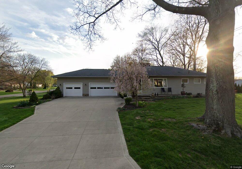
367 Willson Ave Tallmadge, OH 44278
Estimated Value: $233,000 - $258,457
2
Beds
2
Baths
1,176
Sq Ft
$211/Sq Ft
Est. Value
About This Home
This home is located at 367 Willson Ave, Tallmadge, OH 44278 and is currently estimated at $248,614, approximately $211 per square foot. 367 Willson Ave is a home located in Summit County with nearby schools including Tallmadge Middle School, Tallmadge High School, and Steel Academy.
Ownership History
Date
Name
Owned For
Owner Type
Purchase Details
Closed on
Aug 23, 2007
Sold by
Brown Paul Rendall and Brown Mary W
Bought by
Ennis Sharon S
Current Estimated Value
Home Financials for this Owner
Home Financials are based on the most recent Mortgage that was taken out on this home.
Original Mortgage
$119,250
Interest Rate
6.77%
Mortgage Type
Purchase Money Mortgage
Purchase Details
Closed on
Dec 17, 1999
Sold by
Brown Paul Rendall and Brown Mary W
Bought by
Brown Paul Rendall and Brown Mary W
Create a Home Valuation Report for This Property
The Home Valuation Report is an in-depth analysis detailing your home's value as well as a comparison with similar homes in the area
Home Values in the Area
Average Home Value in this Area
Purchase History
| Date | Buyer | Sale Price | Title Company |
|---|---|---|---|
| Ennis Sharon S | $132,500 | Attorney | |
| Brown Paul Rendall | -- | -- |
Source: Public Records
Mortgage History
| Date | Status | Borrower | Loan Amount |
|---|---|---|---|
| Previous Owner | Ennis Sharon S | $119,250 |
Source: Public Records
Tax History Compared to Growth
Tax History
| Year | Tax Paid | Tax Assessment Tax Assessment Total Assessment is a certain percentage of the fair market value that is determined by local assessors to be the total taxable value of land and additions on the property. | Land | Improvement |
|---|---|---|---|---|
| 2025 | $3,713 | $72,800 | $18,767 | $54,033 |
| 2024 | $3,713 | $72,800 | $18,767 | $54,033 |
| 2023 | $3,713 | $72,800 | $18,767 | $54,033 |
| 2022 | $3,112 | $49,865 | $12,856 | $37,009 |
| 2021 | $3,125 | $49,865 | $12,856 | $37,009 |
| 2020 | $3,102 | $49,870 | $12,860 | $37,010 |
| 2019 | $2,933 | $42,170 | $12,860 | $29,310 |
| 2018 | $2,592 | $42,170 | $12,860 | $29,310 |
| 2017 | $2,265 | $42,170 | $12,860 | $29,310 |
| 2016 | $2,438 | $36,450 | $12,860 | $23,590 |
| 2015 | $2,265 | $36,450 | $12,860 | $23,590 |
| 2014 | $2,250 | $36,450 | $12,860 | $23,590 |
| 2013 | $2,279 | $37,600 | $12,860 | $24,740 |
Source: Public Records
Map
Nearby Homes
- 617 Northeast Ave
- 557 Wring Dr
- 0 Northeast Ave Unit 5114314
- 158 Minwood Ave
- 185 Reserve Dr
- 313 Whittlesey Dr
- 0 East Ave
- 532 Beverly Dr
- 368 Knollwood Ave
- 0 North Ave Unit 5116540
- 213 Green Hill Dr
- 1072 Carol Ln
- 617 North Ave
- 528 Fernwood Ave
- 243 S Munroe Rd
- 331 Southeast Ave
- 313 Southeast Ave
- 353 Southeast Ave
- 288 S Munroe Rd
- 206 Fawnwood Dr
- 591 Clark Dr
- 581 Clark Dr
- 387 Willson Ave
- 360 Willson Ave
- 378 Willson Ave
- 590 Sydney Place
- 388 Willson Ave
- 580 Sydney Place
- 588 Clark Dr
- 240 Willson Ave
- 341 Willson Ave
- 398 Willson Ave
- 578 Clark Dr
- 570 Sydney Place
- 637 Clark Dr
- 342 Willson Ave
- 561 Clark Dr
- 327 Willson Ave
- 568 Clark Dr
- 638 Sydney Place