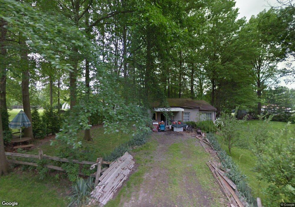
3670 Franklin Ave Hubbard, OH 44425
Estimated Value: $120,000
Studio
--
Bath
--
Sq Ft
21,780
Sq Ft Lot
About This Home
This home is located at 3670 Franklin Ave, Hubbard, OH 44425 and is currently estimated at $120,000. 3670 Franklin Ave is a home located in Trumbull County with nearby schools including Hubbard Elementary School, Hubbard Middle School, and Hubbard High School.
Ownership History
Date
Name
Owned For
Owner Type
Purchase Details
Closed on
Sep 28, 2016
Sold by
Trumbull County Land Reutilization Corporation
Bought by
Edward A Snyder
Current Estimated Value
Home Financials for this Owner
Home Financials are based on the most recent Mortgage that was taken out on this home.
Interest Rate
3.48%
Purchase Details
Closed on
May 17, 2016
Sold by
Doyle Howard William
Bought by
Trumbull County Land Reutilization
Home Financials for this Owner
Home Financials are based on the most recent Mortgage that was taken out on this home.
Interest Rate
3.57%
Purchase Details
Closed on
Jan 1, 1990
Bought by
Howard William Doyle
Create a Home Valuation Report for This Property
The Home Valuation Report is an in-depth analysis detailing your home's value as well as a comparison with similar homes in the area
Home Values in the Area
Average Home Value in this Area
Purchase History
| Date | Buyer | Sale Price | Title Company |
|---|---|---|---|
| Edward A Snyder | -- | -- | |
| Trumbull County Land Reutilization | -- | -- | |
| Howard William Doyle | -- | -- |
Source: Public Records
Mortgage History
| Date | Status | Borrower | Loan Amount |
|---|---|---|---|
| Closed | Trumbull County Land Reutilization | -- | |
| Previous Owner | Trumbull County Land Reutilization | -- |
Source: Public Records
Tax History
| Year | Tax Paid | Tax Assessment Tax Assessment Total Assessment is a certain percentage of the fair market value that is determined by local assessors to be the total taxable value of land and additions on the property. | Land | Improvement |
|---|---|---|---|---|
| 2024 | $140 | $2,420 | $2,420 | $0 |
| 2023 | $140 | $2,420 | $2,420 | $0 |
| 2022 | $158 | $2,420 | $2,420 | $0 |
| 2021 | $158 | $2,420 | $2,420 | $0 |
| 2020 | $159 | $2,420 | $2,420 | $0 |
| 2019 | $168 | $2,420 | $2,420 | $0 |
| 2018 | $163 | $2,420 | $2,420 | $0 |
| 2017 | $163 | $2,420 | $2,420 | $0 |
| 2016 | $133 | $2,070 | $2,070 | $0 |
| 2015 | $340 | $5,290 | $2,700 | $2,590 |
| 2014 | $334 | $5,290 | $2,700 | $2,590 |
| 2013 | $342 | $5,430 | $2,700 | $2,730 |
Source: Public Records
Map
Nearby Homes
- 3700 Liberty Ave
- 6095 Bell Ave
- 3516 Roseview Dr
- 2508 Applegate Rd
- 3267 Bell Wick Rd
- 0 Homestead Rd
- V/L Jacobs Rd
- 62 Jacobs Rd
- 3502 Somerset Dr Unit B
- 100 Cottage Grove Dr
- 2010 Powder Mill Run
- 0 Powder Mill Run Unit 5127327
- 0 Powder Mill Run Unit 5127333
- 2064 Burning Tree Ln
- 911 Dogwood Dr SE
- 601 Wendemere Dr
- 1720 Jacobs Rd
- 2051 Blair Ave
- 585 Creekside Dr
- 365 Scott St
- 3675 Liberty Ave
- 3665 Franklin Ave
- 3648 Franklin Ave
- 3687 Franklin Ave
- 3655 Liberty Ave
- 3685 Liberty Ave
- 3653 Franklin Ave
- 3687 Franklin Ave SE
- 3641 Liberty Ave
- 3676 Liberty Ave
- 3660 Homewood Ave
- 3670 Homewood Ave
- 5929 Lawnview Ave
- 3680 Homewood Ave
- 3652 Homewood Ave
- 3626 Franklin Ave
- 3658 Liberty Ave
- 3629 Franklin Ave
- 3646 Homewood Ave
- 3652 Liberty Ave
Your Personal Tour Guide
Ask me questions while you tour the home.