36701 Pleasant Ridge Rd Graysville, OH 45734
Estimated Value: $64,000 - $419,162
2
Beds
3
Baths
2,016
Sq Ft
$117/Sq Ft
Est. Value
About This Home
This home is located at 36701 Pleasant Ridge Rd, Graysville, OH 45734 and is currently estimated at $236,721, approximately $117 per square foot. 36701 Pleasant Ridge Rd is a home located in Monroe County with nearby schools including Skyvue Elementary School, River Elementary School, and Beallsville High School.
Ownership History
Date
Name
Owned For
Owner Type
Purchase Details
Closed on
Jan 11, 2024
Sold by
Gentile Anthony M
Bought by
Beato Frank L and Bell Anthony J
Current Estimated Value
Purchase Details
Closed on
Jan 28, 2015
Sold by
George George and Ander Dorothy H
Bought by
Beato Frank L and Bell Anthony J
Home Financials for this Owner
Home Financials are based on the most recent Mortgage that was taken out on this home.
Original Mortgage
$237,000
Interest Rate
3.84%
Mortgage Type
Purchase Money Mortgage
Purchase Details
Closed on
Feb 10, 1992
Bought by
Beato Frank L
Create a Home Valuation Report for This Property
The Home Valuation Report is an in-depth analysis detailing your home's value as well as a comparison with similar homes in the area
Home Values in the Area
Average Home Value in this Area
Purchase History
| Date | Buyer | Sale Price | Title Company |
|---|---|---|---|
| Beato Frank L | -- | None Listed On Document | |
| Beato Frank L | -- | -- | |
| Beato Frank L | -- | -- |
Source: Public Records
Mortgage History
| Date | Status | Borrower | Loan Amount |
|---|---|---|---|
| Previous Owner | Beato Frank L | $237,000 |
Source: Public Records
Tax History Compared to Growth
Tax History
| Year | Tax Paid | Tax Assessment Tax Assessment Total Assessment is a certain percentage of the fair market value that is determined by local assessors to be the total taxable value of land and additions on the property. | Land | Improvement |
|---|---|---|---|---|
| 2024 | $3,113 | $104,180 | $18,220 | $85,960 |
| 2023 | $3,113 | $104,180 | $18,220 | $85,960 |
| 2022 | $3,059 | $104,180 | $18,220 | $85,960 |
| 2021 | $3,001 | $100,990 | $15,120 | $85,870 |
| 2020 | $3,002 | $100,990 | $15,120 | $85,870 |
| 2019 | $2,988 | $100,540 | $14,670 | $85,870 |
| 2018 | $2,911 | $94,010 | $12,230 | $81,780 |
| 2017 | $2,922 | $94,010 | $12,230 | $81,780 |
| 2016 | $2,965 | $94,010 | $12,230 | $81,780 |
| 2015 | $2,761 | $82,250 | $8,220 | $74,030 |
| 2014 | $2,761 | $82,250 | $8,220 | $74,030 |
| 2013 | $1,386 | $38,280 | $7,470 | $30,810 |
Source: Public Records
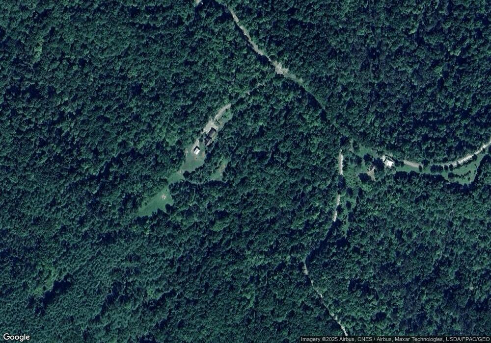
Map
Nearby Homes
- 34215 Mount Hope Ridge Rd
- 39110 State Route 26
- 36475 Kinney Ridge Rd
- 29607 State Route 26
- 29607 Ohio 26
- 34920 Township Road 570
- 0 Dyes Ridge Rd Unit 23254231
- 0 Dyes Ridge Rd Unit 11478951
- 6670 State Route 260
- 34799 Paw Rd
- 34695 Edwina Rd
- 35515 State Route 800
- Township Road 460
- 0 Township Rd 460 Unit 23727141
- 0 Township Rd 460 Unit 5127980
- 0 Township Rd 460 Unit 5127975
- 42842 Trail Run Rd
- 42617 Ohio 800
- 35045 Ohio 800
- 34108 Edwina Rd
- 36725 Pleasant Ridge Rd
- 36725 Pleasant Ridge Rd
- 37020 Pleasant Ridge Rd
- 36401 Pleasant Ridge Rd
- 36445 Pleasant Ridge Rd
- 0 Township Road Lot 3 Unit 2925814
- 37235 Pleasant Ridge Rd
- 37310 State Route 26
- 36857 Clearfork Rd
- 37293 Pleasant Ridge Rd
- 36913 Clearfork Rd
- 35520 State Route 537
- 35799 Blair Dr
- 36117 Pleasant Ridge Rd
- 36568 State Route 26