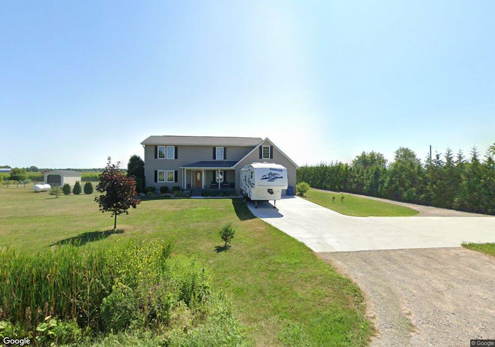
3671 Garfield Rd Auburn, MI 48611
Estimated Value: $242,000 - $350,030
3
Beds
3
Baths
2,160
Sq Ft
$134/Sq Ft
Est. Value
About This Home
This home is located at 3671 Garfield Rd, Auburn, MI 48611 and is currently estimated at $289,758, approximately $134 per square foot. 3671 Garfield Rd is a home located in Bay County with nearby schools including Auburn Elementary School, Western Middle School, and Bay City Western High School.
Ownership History
Date
Name
Owned For
Owner Type
Purchase Details
Closed on
Jul 30, 2007
Sold by
Bush Jim W and Bush Janet K
Bought by
Lawrence Robert M and Lawrence Kelly L
Current Estimated Value
Home Financials for this Owner
Home Financials are based on the most recent Mortgage that was taken out on this home.
Original Mortgage
$121,125
Outstanding Balance
$76,964
Interest Rate
6.73%
Mortgage Type
Purchase Money Mortgage
Estimated Equity
$212,794
Purchase Details
Closed on
May 9, 2001
Sold by
Brandt Donald L and Brandt Florence C
Bought by
Bush Jim W and Bush Janet K
Create a Home Valuation Report for This Property
The Home Valuation Report is an in-depth analysis detailing your home's value as well as a comparison with similar homes in the area
Home Values in the Area
Average Home Value in this Area
Purchase History
| Date | Buyer | Sale Price | Title Company |
|---|---|---|---|
| Lawrence Robert M | $127,500 | None Available | |
| Bush Jim W | $17,500 | -- |
Source: Public Records
Mortgage History
| Date | Status | Borrower | Loan Amount |
|---|---|---|---|
| Open | Lawrence Robert M | $121,125 |
Source: Public Records
Tax History Compared to Growth
Tax History
| Year | Tax Paid | Tax Assessment Tax Assessment Total Assessment is a certain percentage of the fair market value that is determined by local assessors to be the total taxable value of land and additions on the property. | Land | Improvement |
|---|---|---|---|---|
| 2025 | $3,509 | $157,400 | $0 | $0 |
| 2024 | $1,846 | $151,000 | $0 | $0 |
| 2023 | $1,757 | $136,950 | $0 | $0 |
| 2022 | $3,182 | $122,350 | $0 | $0 |
| 2021 | $2,959 | $113,950 | $13,650 | $100,300 |
| 2020 | $2,750 | $111,250 | $13,650 | $97,600 |
| 2019 | $2,584 | $97,650 | $0 | $0 |
| 2018 | $2,480 | $86,150 | $0 | $0 |
| 2017 | $2,364 | $79,400 | $0 | $0 |
| 2016 | $2,372 | $85,750 | $9,400 | $76,350 |
| 2015 | -- | $70,800 | $9,400 | $61,400 |
| 2014 | -- | $70,800 | $9,400 | $61,400 |
Source: Public Records
Map
Nearby Homes
- 0 W North Union Rd Unit 50166876
- 1365 W North Union Rd
- 0 S Carter Unit 50178966
- 0 S Carter Unit 50178897
- V/L N Garfield Rd
- 4648 Meadow Ct
- 221 Sycamore Ln
- 1186 W Midland Rd
- 3175 S Carter Rd
- 4760 Putt Ln
- 937 Appaloosa Pass
- 4649 Stephanie Ct
- 0 Price St
- 1598 Fisherville Ct
- 1587 Fisherville Ct
- 319 Price St
- 1598 Dawn Marie Ct
- 268 W Midland Rd
- 4855 Wheat Ridge Ct
- 230 W Midland Rd
- 3661 Garfield Rd
- 3695 Garfield Rd
- 3670 Garfield Rd
- 3688 Garfield Rd
- 3648 Garfield Rd
- 3711 Garfield Rd
- 3727 Garfield Rd
- 3628 Garfield Rd
- 3740 Garfield Rd
- 3753 Garfield Rd
- 3524 Garfield Rd
- 939 Wheeler Rd
- 3509 Garfield Rd
- 0 Tony Ct Unit G31216354
- 3837 Garfield Rd
- 1031 Wheeler Rd
- 3514 Garfield Rd
- 927 Wheeler Rd
- 917 Wheeler Rd
- 0 Garfield Rd Unit 31285933