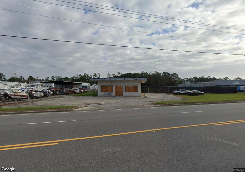
3675 Community Rd Brunswick, GA 31520
Estimated Value: $505,875
Studio
--
Bath
--
Sq Ft
87,120
Sq Ft Lot
About This Home
This home is located at 3675 Community Rd, Brunswick, GA 31520 and is currently estimated at $505,875. 3675 Community Rd is a home located in Glynn County with nearby schools including Glyndale Elementary School, Needwood Middle School, and Brunswick High School.
Ownership History
Date
Name
Owned For
Owner Type
Purchase Details
Closed on
Jun 27, 2024
Sold by
Head Hope
Bought by
Industrial Group Inc
Current Estimated Value
Purchase Details
Closed on
Oct 6, 2021
Sold by
3675 Community Road
Bought by
Head Kevin and Head Hope
Home Financials for this Owner
Home Financials are based on the most recent Mortgage that was taken out on this home.
Original Mortgage
$10,000,000
Interest Rate
2.8%
Mortgage Type
Commercial
Purchase Details
Closed on
Mar 18, 2020
Sold by
Morris Publishing Grp Llc
Bought by
3675 Community Road Llc
Create a Home Valuation Report for This Property
The Home Valuation Report is an in-depth analysis detailing your home's value as well as a comparison with similar homes in the area
Purchase History
| Date | Buyer | Sale Price | Title Company |
|---|---|---|---|
| Industrial Group Inc | $530,000 | -- | |
| Head Kevin | $250,000 | -- | |
| 3675 Community Road Llc | $95,000 | -- |
Source: Public Records
Mortgage History
| Date | Status | Borrower | Loan Amount |
|---|---|---|---|
| Previous Owner | Head Kevin | $10,000,000 |
Source: Public Records
Tax History
| Year | Tax Paid | Tax Assessment Tax Assessment Total Assessment is a certain percentage of the fair market value that is determined by local assessors to be the total taxable value of land and additions on the property. | Land | Improvement |
|---|---|---|---|---|
| 2025 | $2,861 | $136,120 | $97,280 | $38,840 |
| 2024 | $1,721 | $81,880 | $43,760 | $38,120 |
| 2023 | $3,033 | $81,880 | $43,760 | $38,120 |
| 2022 | $3,036 | $81,880 | $43,760 | $38,120 |
| 2021 | $1,562 | $38,000 | $30,000 | $8,000 |
| 2020 | $2,290 | $58,120 | $41,720 | $16,400 |
| 2019 | $1,290 | $58,120 | $41,720 | $16,400 |
| 2018 | $1,397 | $58,120 | $41,720 | $16,400 |
| 2017 | $2,169 | $58,120 | $41,720 | $16,400 |
| 2016 | $2,066 | $58,120 | $41,720 | $16,400 |
| 2015 | $2,071 | $58,120 | $41,720 | $16,400 |
| 2014 | $2,071 | $58,120 | $41,720 | $16,400 |
Source: Public Records
Map
Nearby Homes
- 106 Red Bud Ct
- BLK 14 LOT 11 Red Bud Ct
- 207 Lantana Ct
- 322 Stone Mill Dr
- 324 Stone Mill Dr
- 316 Stone Mill Dr
- 319 Stonemill Dr
- 2243 Pinewood Dr
- 110 Dalton Cody Dr
- 4807 Palamor Dr
- 2536 Cherry St
- 214 Nell Leone Dr
- 2859 Palamor Dr
- 208 Windridge Dr
- 348 Moss Creek Ln
- 2202 Tara Ln
- 366 Moss Creek Ln
- 113 Destiny Ct
- 211 Destiny Ct
- 474 Moss Creek Ln
- 3663 Community Rd
- 3651 Community Rd
- 118 Key Circle Dr
- 3711 Community Rd
- 211 Camellia Ct
- 206 Camellia Ct
- 211 Camelia Ct
- 209 Camelia Ct
- 207 Camelia Ct
- 210 Camellia Ct
- 210 Camelia Ct
- 210 Camilla Ct
- 109 Camellia Ct
- 109 Camellia Ct
- 209 Camellia Ct
- 108 Camellia Ct
- 208 Camellia Ct
- 208 Camellia Ct Unit H-3
- 205 Camelia Ct
- 207 Camellia Ct
Your Personal Tour Guide
Ask me questions while you tour the home.