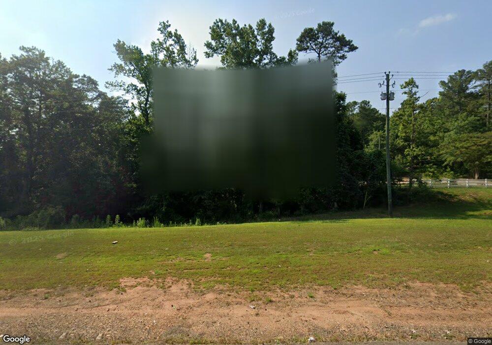
3675 Highway 20 E McDonough, GA 30252
Estimated Value: $409,000 - $505,000
3
Beds
4
Baths
1,716
Sq Ft
$260/Sq Ft
Est. Value
About This Home
This home is located at 3675 Highway 20 E, McDonough, GA 30252 and is currently estimated at $446,241, approximately $260 per square foot. 3675 Highway 20 E is a home located in Henry County with nearby schools including Timber Ridge Elementary School, Union Grove Middle School, and Union Grove High School.
Ownership History
Date
Name
Owned For
Owner Type
Purchase Details
Closed on
Jun 1, 2017
Sold by
Israel Nash Carlyle
Bought by
Culpepper Joel D
Current Estimated Value
Home Financials for this Owner
Home Financials are based on the most recent Mortgage that was taken out on this home.
Original Mortgage
$195,000
Outstanding Balance
$162,199
Interest Rate
4.02%
Mortgage Type
New Conventional
Estimated Equity
$284,042
Purchase Details
Closed on
Nov 20, 2013
Sold by
Israel Nash Carlyle
Bought by
Hall Patricia I
Purchase Details
Closed on
Jan 10, 2003
Sold by
Murphy Charles H and Murphy Margie A
Bought by
Israel Nash C
Home Financials for this Owner
Home Financials are based on the most recent Mortgage that was taken out on this home.
Original Mortgage
$244,000
Interest Rate
5.98%
Mortgage Type
New Conventional
Create a Home Valuation Report for This Property
The Home Valuation Report is an in-depth analysis detailing your home's value as well as a comparison with similar homes in the area
Home Values in the Area
Average Home Value in this Area
Purchase History
| Date | Buyer | Sale Price | Title Company |
|---|---|---|---|
| Culpepper Joel D | $195,000 | -- | |
| Hall Patricia I | -- | -- | |
| Israel Nash C | $244,000 | -- |
Source: Public Records
Mortgage History
| Date | Status | Borrower | Loan Amount |
|---|---|---|---|
| Open | Culpepper Joel D | $195,000 | |
| Previous Owner | Israel Nash C | $244,000 |
Source: Public Records
Tax History Compared to Growth
Tax History
| Year | Tax Paid | Tax Assessment Tax Assessment Total Assessment is a certain percentage of the fair market value that is determined by local assessors to be the total taxable value of land and additions on the property. | Land | Improvement |
|---|---|---|---|---|
| 2024 | $7,058 | $176,640 | $31,600 | $145,040 |
| 2023 | $6,555 | $169,840 | $30,520 | $139,320 |
| 2022 | $5,851 | $151,480 | $28,360 | $123,120 |
| 2021 | $4,833 | $132,800 | $24,680 | $108,120 |
| 2020 | $4,833 | $124,960 | $23,400 | $101,560 |
| 2019 | $4,370 | $120,200 | $22,320 | $97,880 |
| 2018 | $4,370 | $112,880 | $20,800 | $92,080 |
| 2016 | $3,971 | $102,480 | $18,640 | $83,840 |
| 2015 | $3,933 | $98,440 | $18,400 | $80,040 |
| 2014 | $3,791 | $93,720 | $18,400 | $75,320 |
Source: Public Records
Map
Nearby Homes
- 1103 Wilder Ct
- 1221 Cooper Ridge
- 126 Big Cotton Trail
- 2086 Fontainbleau Dr
- 2214 Escalade Ct
- 2212 Escalade Ct
- 1108 the By Way
- 3300 Rogers Rd
- 2067 Fontainbleau Dr
- 2063 Fontainbleau Dr
- 3210 Rogers Rd
- 2059 Fontainbleau Dr
- 1129 River Green Ct
- 2057 Fontainbleau Dr
- 2070 Fontainbleau Dr
- 2055 Fontainbleau Dr
- 2053 Fontainbleau Dr
- 2051 Fontainbleau Dr
- 180 Watts Lake Rd
- 2045 Fontainbleau Dr
- 3675 Conyers Rd
- 3677 Highway 20 E
- 1106 Wilder Ct Unit 4
- 1104 Wilder Ct Unit 3
- 1108 Wilder Ct
- 1102 Wilder Ct
- 1216 Cooper Ridge
- 1223 Cooper Ridge
- 1105 Wilder Ct
- 3746 Highway 20 E
- 3695 Highway 20 E
- 0 Wilder Ct Unit 7179601
- 0 Wilder Ct Unit 8099435
- 0 Wilder Ct Unit 7530071
- 1214 Cooper Ridge
- 1212 Cooper Ridge
- 1100 Wilder Ct
- 1210 Cooper Ridge
- 1219 Cooper Ridge
- 1101 Wilder Ct
