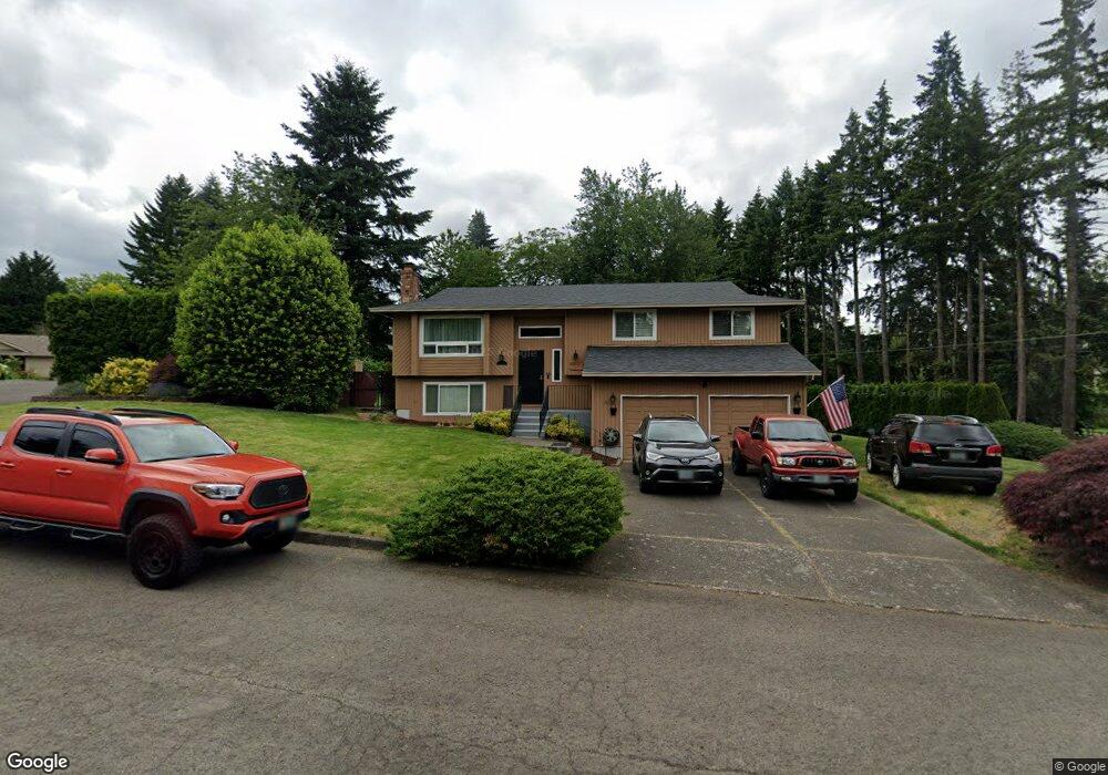
3675 SE Brendon Ct Milwaukie, OR 97267
Estimated Value: $615,224 - $687,000
4
Beds
3
Baths
2,343
Sq Ft
$274/Sq Ft
Est. Value
About This Home
This home is located at 3675 SE Brendon Ct, Milwaukie, OR 97267 and is currently estimated at $643,056, approximately $274 per square foot. 3675 SE Brendon Ct is a home located in Clackamas County with nearby schools including Riverside Elementary School, Alder Creek Middle School, and Rex Putnam High School.
Ownership History
Date
Name
Owned For
Owner Type
Purchase Details
Closed on
Aug 1, 2001
Sold by
Usher George E and Usher Florence
Bought by
Usher George E and Usher Florence Lynn
Current Estimated Value
Purchase Details
Closed on
Dec 9, 1998
Sold by
Raya Karen and Blevins Bobby G
Bought by
Blevins Bobby G and Blevins Betty A
Home Financials for this Owner
Home Financials are based on the most recent Mortgage that was taken out on this home.
Original Mortgage
$88,000
Interest Rate
6.86%
Create a Home Valuation Report for This Property
The Home Valuation Report is an in-depth analysis detailing your home's value as well as a comparison with similar homes in the area
Home Values in the Area
Average Home Value in this Area
Purchase History
| Date | Buyer | Sale Price | Title Company |
|---|---|---|---|
| Usher George E | -- | -- | |
| Blevins Bobby G | -- | First American Title Co |
Source: Public Records
Mortgage History
| Date | Status | Borrower | Loan Amount |
|---|---|---|---|
| Closed | Blevins Bobby G | $88,000 |
Source: Public Records
Tax History Compared to Growth
Tax History
| Year | Tax Paid | Tax Assessment Tax Assessment Total Assessment is a certain percentage of the fair market value that is determined by local assessors to be the total taxable value of land and additions on the property. | Land | Improvement |
|---|---|---|---|---|
| 2025 | $6,029 | $316,368 | -- | -- |
| 2024 | $5,817 | $307,154 | -- | -- |
| 2023 | $5,817 | $298,208 | $0 | $0 |
| 2022 | $5,351 | $289,523 | $0 | $0 |
| 2021 | $5,156 | $281,091 | $0 | $0 |
| 2020 | $4,996 | $272,904 | $0 | $0 |
| 2019 | $4,924 | $264,956 | $0 | $0 |
| 2018 | $4,312 | $257,239 | $0 | $0 |
| 2017 | $4,175 | $249,747 | $0 | $0 |
| 2016 | $4,028 | $242,473 | $0 | $0 |
| 2015 | $3,914 | $235,411 | $0 | $0 |
| 2014 | $3,696 | $228,554 | $0 | $0 |
Source: Public Records
Map
Nearby Homes
- 16731 SE Blanton St
- 3405 SE Vineyard Rd Unit SP 49
- 3405 SE Vineyard Rd Unit 55
- 3419 SE Kingsley Rd
- 4424 SE Roethe Rd Unit 42
- 4424 SE Roethe Rd
- 16365 SE Sterling Cir
- 16642 SE Harold Ave
- 4711 SE Roethe Rd
- 3500 SE Concord Rd Unit 78
- 3500 SE Concord Rd Unit 65
- 18418 Old River Landing
- 4801 SE Ina Ave
- 4803 SE Ina Ave
- 4807 SE Ina Ave
- 3446 Fernvilla Dr
- 4828 SE Ina Ave
- 4400 Calaroga Dr
- 4819 SE Roethe Rd
- 15915 SE Harold Ave
- 17225 SE Blanton St
- 3615 SE Brendon Ct
- 3680 SE Brendon Ct
- 3710 SE Brendon Ct
- 3650 SE Brendon Ct
- 3600 SE Brendon Ct
- 3620 SE Brendon Ct
- 3605 SE Brendon Ct
- 17311 SE Blanton St
- 17217 SE Blanton St
- 3420 SE Naef Rd
- 17315 SE Blanton St
- 17310 SE Blanton St
- 3418 SE Naef Rd
- 17319 SE Blanton St
- 17320 SE Blanton St
- 17317 SE Blanton St
- 3614 SE Naef Rd
- 3416 SE Naef Rd
- 3400 SE Naef Rd