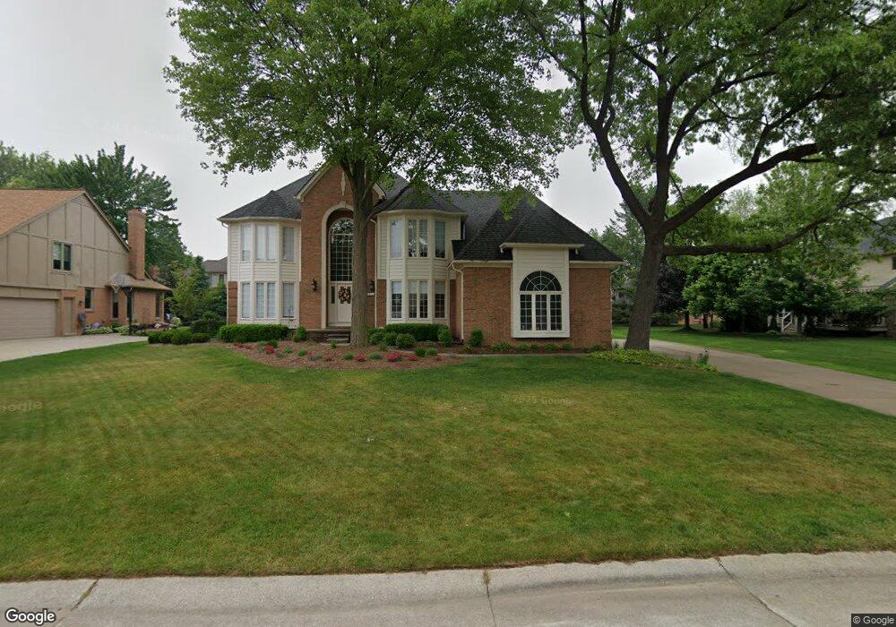
3676 Newcastle Dr Rochester Hills, MI 48306
Estimated Value: $755,254 - $849,000
4
Beds
5
Baths
4,331
Sq Ft
$187/Sq Ft
Est. Value
About This Home
This home is located at 3676 Newcastle Dr, Rochester Hills, MI 48306 and is currently estimated at $807,814, approximately $186 per square foot. 3676 Newcastle Dr is a home located in Oakland County with nearby schools including Musson Elementary School, Van Hoosen Middle School, and Rochester Adams High School.
Ownership History
Date
Name
Owned For
Owner Type
Purchase Details
Closed on
Apr 18, 2005
Sold by
Buksa William P and Buksa Laura Diane
Bought by
Roman Dan M and Roman Debra M
Current Estimated Value
Home Financials for this Owner
Home Financials are based on the most recent Mortgage that was taken out on this home.
Original Mortgage
$428,000
Outstanding Balance
$216,838
Interest Rate
5.5%
Mortgage Type
Fannie Mae Freddie Mac
Estimated Equity
$590,976
Purchase Details
Closed on
Jun 30, 2000
Sold by
Graham Steven E
Bought by
Buksa William P
Home Financials for this Owner
Home Financials are based on the most recent Mortgage that was taken out on this home.
Original Mortgage
$448,000
Interest Rate
8.27%
Purchase Details
Closed on
Nov 29, 1996
Sold by
Swofford Charles David
Bought by
Graham Stephen E
Create a Home Valuation Report for This Property
The Home Valuation Report is an in-depth analysis detailing your home's value as well as a comparison with similar homes in the area
Home Values in the Area
Average Home Value in this Area
Purchase History
| Date | Buyer | Sale Price | Title Company |
|---|---|---|---|
| Roman Dan M | $536,000 | -- | |
| Buksa William P | $560,000 | -- | |
| Graham Stephen E | $416,500 | -- |
Source: Public Records
Mortgage History
| Date | Status | Borrower | Loan Amount |
|---|---|---|---|
| Open | Roman Dan M | $428,000 | |
| Previous Owner | Buksa William P | $448,000 |
Source: Public Records
Tax History Compared to Growth
Tax History
| Year | Tax Paid | Tax Assessment Tax Assessment Total Assessment is a certain percentage of the fair market value that is determined by local assessors to be the total taxable value of land and additions on the property. | Land | Improvement |
|---|---|---|---|---|
| 2022 | $3,691 | $270,110 | $0 | $0 |
| 2018 | $6,116 | $232,180 | $0 | $0 |
| 2017 | $5,994 | $232,090 | $0 | $0 |
| 2015 | -- | $221,070 | $0 | $0 |
| 2014 | -- | $190,300 | $0 | $0 |
| 2011 | -- | $173,210 | $0 | $0 |
Source: Public Records
Map
Nearby Homes
- 3674 Merriweather Ln
- 1906 Independence Ct
- 3640 Camden Ct
- 3273 Salem Dr
- 3634 Camden Ct
- 3633 Thornwood Dr
- 5700 Rolling Hills Dr
- 4035 Hillsdale Dr Unit 275
- 1609 Kilburn Rd N
- 2935 Woodford Cir
- 3534 Riverside Dr Unit 141
- 3879 Teakwood Ln
- 5826 Murfield Dr
- 3185 Saint James Ct
- 423 Silvervale Dr
- 2700 Mohawk Ln
- 3780 Bald Mountain Rd
- 5724 Murfield Dr
- 3095 Bridgewater Rd Unit 30
- 2821 Addison Cir S
- 3682 Newcastle Dr
- 3676 Edinborough Dr
- 3702 Edinborough Dr
- 3688 Newcastle Dr
- 3708 Edinborough Dr
- 3680 Edinborough Dr
- 1644 Newcastle Ct
- 3668 Edinborough Dr
- 3714 Edinborough Dr
- 3681 Newcastle Dr
- 3694 Newcastle Dr
- 1638 Newcastle Ct
- 3720 Edinborough Dr
- 3664 Edinborough Dr
- 3677 Edinborough Dr
- 3707 Edinborough Dr
- 3701 Edinborough Dr
- 3681 Edinborough Dr
- 3673 Edinborough Dr
- 3700 Newcastle Dr