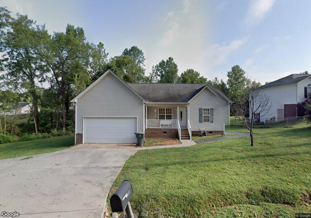
3677 Old Airport Rd Concord, NC 28025
Estimated Value: $313,274 - $332,000
3
Beds
2
Baths
1,364
Sq Ft
$235/Sq Ft
Est. Value
About This Home
This home is located at 3677 Old Airport Rd, Concord, NC 28025 and is currently estimated at $320,569, approximately $235 per square foot. 3677 Old Airport Rd is a home located in Cabarrus County with nearby schools including W.M. Irvin Elementary School, Mount Pleasant Middle School, and Mount Pleasant High School.
Ownership History
Date
Name
Owned For
Owner Type
Purchase Details
Closed on
Apr 25, 2005
Sold by
Perkins William B and Perkins Susan C
Bought by
Martin Richard A and Martin Mishelle D
Current Estimated Value
Home Financials for this Owner
Home Financials are based on the most recent Mortgage that was taken out on this home.
Original Mortgage
$132,400
Outstanding Balance
$68,767
Interest Rate
5.88%
Mortgage Type
FHA
Estimated Equity
$251,802
Purchase Details
Closed on
Mar 12, 2004
Sold by
Medlin Steve L and Medlin Debra F
Bought by
Perkins William B and Perkins Susan C
Home Financials for this Owner
Home Financials are based on the most recent Mortgage that was taken out on this home.
Original Mortgage
$22,000
Interest Rate
5.62%
Mortgage Type
Purchase Money Mortgage
Create a Home Valuation Report for This Property
The Home Valuation Report is an in-depth analysis detailing your home's value as well as a comparison with similar homes in the area
Home Values in the Area
Average Home Value in this Area
Purchase History
| Date | Buyer | Sale Price | Title Company |
|---|---|---|---|
| Martin Richard A | $133,500 | -- | |
| Perkins William B | $12,000 | -- |
Source: Public Records
Mortgage History
| Date | Status | Borrower | Loan Amount |
|---|---|---|---|
| Open | Martin Richard A | $132,400 | |
| Previous Owner | Perkins William B | $22,000 |
Source: Public Records
Tax History
| Year | Tax Paid | Tax Assessment Tax Assessment Total Assessment is a certain percentage of the fair market value that is determined by local assessors to be the total taxable value of land and additions on the property. | Land | Improvement |
|---|---|---|---|---|
| 2025 | $3,103 | $311,510 | $65,000 | $246,510 |
| 2024 | $3,103 | $311,510 | $65,000 | $246,510 |
| 2023 | $2,073 | $169,900 | $35,000 | $134,900 |
| 2022 | $2,045 | $167,650 | $35,000 | $132,650 |
| 2021 | $2,045 | $167,650 | $35,000 | $132,650 |
| 2020 | $2,045 | $167,650 | $35,000 | $132,650 |
| 2019 | $1,682 | $137,860 | $15,000 | $122,860 |
| 2018 | $1,654 | $137,860 | $15,000 | $122,860 |
| 2017 | $1,627 | $137,860 | $15,000 | $122,860 |
| 2016 | $965 | $138,930 | $28,000 | $110,930 |
| 2015 | $1,639 | $138,930 | $28,000 | $110,930 |
| 2014 | $1,639 | $138,930 | $28,000 | $110,930 |
Source: Public Records
Map
Nearby Homes
- 1695 Lemming Dr
- 2750 & 2760 Tilley Rd
- 1800 Lake Lynn Rd
- 1930 Cold Springs Rd
- 2365 Baxter Place SE
- 2568 Chelsea Dr
- 2628 State Highway 49
- 3261 Fairmead Dr
- 5123 Beckenham Ln
- 425 Krimminger Ave SE
- 1162 Crestmont Dr SE
- 1160 Crestmont Dr SE Unit A3
- 3225 Fairmead Dr
- 2909 Arbor Knoll
- 3109 Fairmead Dr
- 3354 Westview Rd
- 348 Pleasant View Ln SE
- 1144 Tangle Ridge Dr SE
- 4165 Laurelwood Ct
- 1193 Tangle Ridge Dr SE
- 3681 Old Airport Rd
- 3685 Old Airport Rd
- 4189 Ringtail Ct
- 3711 Osprey Ct SE
- 4185 Ringtail Ct
- 4185 Ringtail Ct SE
- 3689 Old Airport Rd
- 4192 Ringtail Ct
- 4181 Ringtail Ct
- 3707 Osprey Ct SE
- 3693 Old Airport Rd
- 4188 Ringtail Ct
- 4177 Ringtail Ct
- 4184 Ringtail Ct SE
- 3697 Old Airport Rd
- 3730 Old Airport Rd
- 3708 Osprey Ct SE
- 3703 Osprey Ct SE
- 3644 Muskratt Place SE
- 4184 Ringtail Ct
Your Personal Tour Guide
Ask me questions while you tour the home.