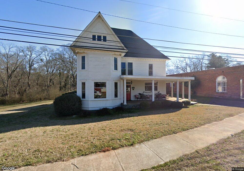
3679 Historic Highway 17 Martin, GA 30557
Estimated Value: $320,000 - $388,000
3
Beds
4
Baths
3,355
Sq Ft
$104/Sq Ft
Est. Value
About This Home
This home is located at 3679 Historic Highway 17, Martin, GA 30557 and is currently estimated at $349,916, approximately $104 per square foot. 3679 Historic Highway 17 is a home located in Stephens County with nearby schools including Stephens County High School, Shepherds Hill Academy, and Shepherd's Hill Academy.
Ownership History
Date
Name
Owned For
Owner Type
Purchase Details
Closed on
Aug 29, 2024
Sold by
Welborn Holly
Bought by
Alexander Harold L
Current Estimated Value
Purchase Details
Closed on
Sep 23, 2016
Bought by
Welborn Holly
Purchase Details
Closed on
Jan 5, 2016
Sold by
Stephens Federal Bank
Bought by
Federal Home Loan Mortgage Corporation
Purchase Details
Closed on
Jan 5, 2013
Sold by
Carlson Roi M
Bought by
Carlson Roi
Purchase Details
Closed on
Aug 15, 2006
Sold by
Stephenson Mary Stephens
Bought by
Watson Susan
Home Financials for this Owner
Home Financials are based on the most recent Mortgage that was taken out on this home.
Original Mortgage
$260,000
Interest Rate
6.73%
Mortgage Type
New Conventional
Create a Home Valuation Report for This Property
The Home Valuation Report is an in-depth analysis detailing your home's value as well as a comparison with similar homes in the area
Home Values in the Area
Average Home Value in this Area
Purchase History
| Date | Buyer | Sale Price | Title Company |
|---|---|---|---|
| Alexander Harold L | $325,000 | -- | |
| Welborn Holly | -- | -- | |
| Federal Home Loan Mortgage Corporation | $63,920 | -- | |
| Stephens Federal Bank | $63,920 | -- | |
| Carlson Roi | -- | -- | |
| Watson Susan | $115,000 | -- | |
| Watson Susan | $115,000 | -- |
Source: Public Records
Mortgage History
| Date | Status | Borrower | Loan Amount |
|---|---|---|---|
| Previous Owner | Watson Susan | $260,000 |
Source: Public Records
Tax History Compared to Growth
Tax History
| Year | Tax Paid | Tax Assessment Tax Assessment Total Assessment is a certain percentage of the fair market value that is determined by local assessors to be the total taxable value of land and additions on the property. | Land | Improvement |
|---|---|---|---|---|
| 2024 | $2,988 | $95,013 | $4,732 | $90,281 |
| 2023 | $2,719 | $88,357 | $4,732 | $83,625 |
| 2022 | $2,497 | $83,887 | $4,732 | $79,155 |
| 2021 | $2,428 | $77,639 | $4,732 | $72,907 |
| 2020 | $2,435 | $77,104 | $4,732 | $72,372 |
| 2019 | $2,438 | $76,878 | $4,506 | $72,372 |
| 2018 | $2,438 | $76,878 | $4,506 | $72,372 |
| 2017 | $1,797 | $76,878 | $4,506 | $72,372 |
| 2016 | $2,374 | $76,878 | $4,506 | $72,372 |
| 2015 | $2,489 | $76,952 | $4,832 | $72,120 |
| 2014 | $2,530 | $76,952 | $4,832 | $72,120 |
| 2013 | -- | $78,160 | $6,040 | $72,120 |
Source: Public Records
Map
Nearby Homes
- 556 Oil Mill Rd Unit 7
- 0 Herron Rd Unit 14382283
- 538 Oil Mill Rd Unit 8
- 574 Oil Mill Rd Unit 6
- 0 Georgia 17
- 1120 Combs Ave
- 1873 Price Rd
- 121 Wilmer Shirley Dr
- 2355 Price Rd
- 18 Webb Rd
- 1189 Anderson Thomas Rd Unit 6
- 1380 Anderson Thomas Rd
- 280 Grady Brock Rd Unit LOT 21
- 300 Grady Brock Rd Unit 20
- 312 Grady Brock Rd Unit 19
- 0 Anderson Thomas Rd Unit 10614737
- 740 Chapel Rd
- 919 Pleasant Hill Cir
- 1057 Pleasant Hill Cir
- 22 Anderson Thomas Rd
- 11144 Georgia 17
- 64 Banks St
- 47 Banks St
- 0 Herron Rd Unit 7203514
- 0 Herron Rd Unit 9047527
- 0 Herron Rd Unit 9047518
- 0 Herron Rd
- 1053 Red Hollow Rd
- 40 Spearman - 1 7 Ac
- 3645 Historic Highway 17
- 97 Banks St
- 27 Childs St
- 40 Spearman Rd
- 1003 Red Hollow Rd
- 59 Spearman Dr
- 120 Garner St
- 101 Childs St
- 947 Red Hollow Rd
- 3861 Historic Highway 17
- 912 Red Hollow Rd