368 Buckeye Cir La Plata, MD 20646
Estimated Value: $458,498 - $554,000
--
Bed
3
Baths
1,381
Sq Ft
$357/Sq Ft
Est. Value
About This Home
This home is located at 368 Buckeye Cir, La Plata, MD 20646 and is currently estimated at $493,375, approximately $357 per square foot. 368 Buckeye Cir is a home located in Charles County with nearby schools including Walter J. Mitchell Elementary School, Milton M. Somers Middle School, and Maurice J. McDonough High School.
Ownership History
Date
Name
Owned For
Owner Type
Purchase Details
Closed on
May 30, 2025
Sold by
Vaira Patricia C
Bought by
Winter Holdings Trust and Vaira
Current Estimated Value
Purchase Details
Closed on
Apr 18, 2019
Sold by
Steeplechase Development Company Llc
Bought by
Vaira Patricia C
Home Financials for this Owner
Home Financials are based on the most recent Mortgage that was taken out on this home.
Original Mortgage
$240,000
Interest Rate
4.3%
Mortgage Type
New Conventional
Create a Home Valuation Report for This Property
The Home Valuation Report is an in-depth analysis detailing your home's value as well as a comparison with similar homes in the area
Home Values in the Area
Average Home Value in this Area
Purchase History
| Date | Buyer | Sale Price | Title Company |
|---|---|---|---|
| Winter Holdings Trust | -- | None Listed On Document | |
| Winter Holdings Trust | -- | None Listed On Document | |
| Vaira Patricia C | $428,150 | None Available |
Source: Public Records
Mortgage History
| Date | Status | Borrower | Loan Amount |
|---|---|---|---|
| Previous Owner | Vaira Patricia C | $240,000 |
Source: Public Records
Tax History Compared to Growth
Tax History
| Year | Tax Paid | Tax Assessment Tax Assessment Total Assessment is a certain percentage of the fair market value that is determined by local assessors to be the total taxable value of land and additions on the property. | Land | Improvement |
|---|---|---|---|---|
| 2025 | $21,892 | $447,467 | -- | -- |
| 2024 | $8,551 | $428,033 | $0 | $0 |
| 2023 | $7,146 | $408,600 | $85,000 | $323,600 |
| 2022 | $8,000 | $400,233 | $0 | $0 |
| 2021 | $19,774 | $391,867 | $0 | $0 |
| 2020 | $7,771 | $383,500 | $85,000 | $298,500 |
| 2019 | $7,457 | $361,233 | $0 | $0 |
Source: Public Records
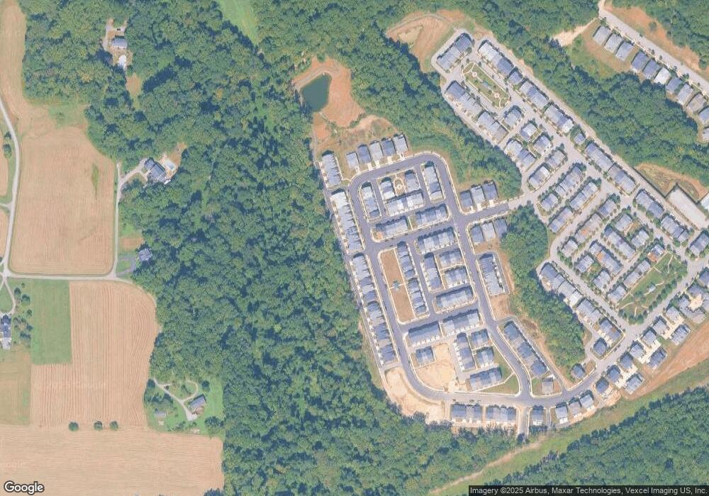
Map
Nearby Homes
- 370 Buckeye Cir
- 48 Derby Dr
- 0 Crain Hwy Unit MDCH2038304
- 9071 Darley Dr
- 208 Port Tobacco Rd
- 0 Glen Albin Rd Unit 1002259446
- 7295 Saint Marys Ave
- 203 Port Tobacco Rd
- 9665 Docs Place
- 105 Palmetto Ct
- 45 Hibiscus Ct
- 455 Patuxent Ct
- 7575 Dolly Dr
- 212 Morgans Ridge Ct
- 9 Gramby Ct
- 110 Quail Ct
- 6 Gramby Ct
- 600 Edelen Station Place Unit 7402
- 107 Howard St
- 302 Edelen Station Place
- 364 Buckeye Cir
- 372 Buckeye Cir
- 362 Buckeye Cir
- 374 Buckeye Cir
- 60 Mustang Dr
- 562 Jockey Dr
- 360 Buckeye Cir
- 376 Buckeye Cir
- 358 Buckeye Cir
- 373 Buckeye Cir
- 56 Mustang Dr
- 375 Buckeye Cir
- 54 Mustang Dr
- 380 Buckeye Cir
- 356 Buckeye Cir
- 377 Buckeye Cir
- 365 Buckeye Cir
- 52 Mustang Dr
- 363 Buckeye Cir
- 379 Buckeye Cir