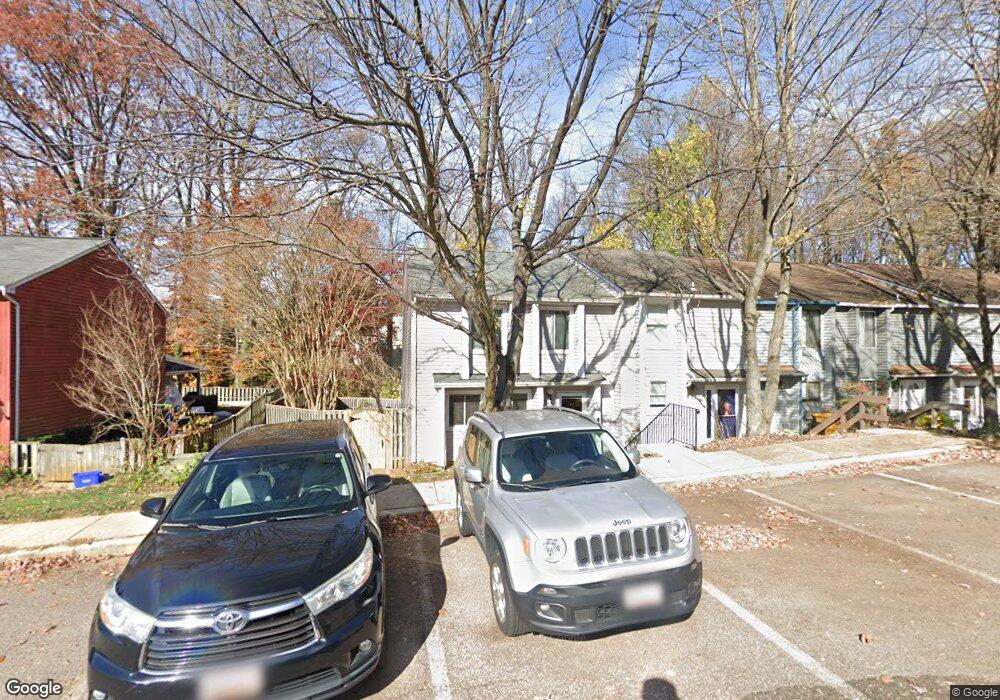
368 Carronade Way Arnold, MD 21012
Estimated Value: $359,076 - $379,000
Studio
2
Baths
1,496
Sq Ft
$249/Sq Ft
Est. Value
About This Home
This home is located at 368 Carronade Way, Arnold, MD 21012 and is currently estimated at $372,019, approximately $248 per square foot. 368 Carronade Way is a home located in Anne Arundel County with nearby schools including Windsor Farm Elementary School, Severn River Middle School, and Broadneck High School.
Ownership History
Date
Name
Owned For
Owner Type
Purchase Details
Closed on
Aug 4, 2015
Sold by
Burton Stephen J and Burton Pamela S
Bought by
368 Carronade Way Llc
Current Estimated Value
Purchase Details
Closed on
May 24, 1984
Bought by
Burton Stephen J and Burton Pamela S
Home Financials for this Owner
Home Financials are based on the most recent Mortgage that was taken out on this home.
Original Mortgage
$76,900
Interest Rate
14.04%
Create a Home Valuation Report for This Property
The Home Valuation Report is an in-depth analysis detailing your home's value as well as a comparison with similar homes in the area
Home Values in the Area
Average Home Value in this Area
Purchase History
| Date | Buyer | Sale Price | Title Company |
|---|---|---|---|
| 368 Carronade Way Llc | -- | None Available | |
| Burton Stephen J | $75,000 | -- |
Source: Public Records
Mortgage History
| Date | Status | Borrower | Loan Amount |
|---|---|---|---|
| Previous Owner | Burton Stephen J | $76,900 |
Source: Public Records
Tax History
| Year | Tax Paid | Tax Assessment Tax Assessment Total Assessment is a certain percentage of the fair market value that is determined by local assessors to be the total taxable value of land and additions on the property. | Land | Improvement |
|---|---|---|---|---|
| 2025 | $3,966 | $289,800 | -- | -- |
| 2024 | $3,966 | $269,300 | $140,000 | $129,300 |
| 2023 | $3,761 | $258,433 | $0 | $0 |
| 2022 | $2,964 | $247,567 | $0 | $0 |
| 2020 | $3,078 | $224,700 | $0 | $0 |
| 2019 | $0 | $212,700 | $0 | $0 |
| 2018 | $2,035 | $200,700 | $85,000 | $115,700 |
| 2017 | $2,543 | $194,833 | $0 | $0 |
| 2016 | -- | $188,967 | $0 | $0 |
| 2015 | -- | $183,100 | $0 | $0 |
| 2014 | -- | $183,100 | $0 | $0 |
Source: Public Records
Map
Nearby Homes
- 1553 Star Pine Dr
- 1467 Eagle Ct
- 1254 Masters Dr
- 1411 Peregrine Path
- 371 Freshfield Ln
- 1525 Hickory Wood Dr
- 1410 Greendale Ct Unit 2-1410
- 1603 Elkwood Ct
- 656 Newbridge Ct Unit 4-656
- 0 Shot Town Rd Unit MDAA2113200
- 618 Newbridge Ct Unit 3-618
- 1406 Bretton View Rd
- 628 Southern Hills Dr Unit B-2C
- 624 Southern Hills Dr Unit B-2A
- 662 Jupiter Hills Ct
- 78 Old Mill Bottom Rd N
- 78 Old Mill Bottom Rd N Unit 305
- 78 Old Mill Bottom Rd N Unit 409
- 78 Old Mill Bottom Rd N Unit 209
- 78 Old Mill Bottom Rd N Unit 112
- 370 Carronade Way
- 372 Carronade Way
- 366 Carronade Way
- 374 Carronade Way
- 376 Carronade Way
- 364 Carronade Way
- 362 Carronade Way
- 360 Carronade Way
- 380 Carronade Way
- 358 Carronade Way
- 356 Carronade Way
- 391 Carronade Way
- 384 Carronade Way
- 393 Carronade Way
- 386 Carronade Way
- 354 Carronade Way
- 388 Carronade Way
- 390 Carronade Way
- 352 Carronade Way
- 392 Carronade Way
Your Personal Tour Guide
Ask me questions while you tour the home.