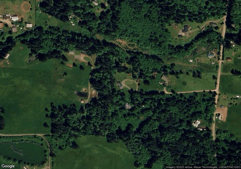
368 Dempsey Rd Port Angeles, WA 98363
Estimated Value: $476,000 - $539,000
1
Bed
1
Bath
988
Sq Ft
$506/Sq Ft
Est. Value
About This Home
This home is located at 368 Dempsey Rd, Port Angeles, WA 98363 and is currently estimated at $500,049, approximately $506 per square foot. 368 Dempsey Rd is a home located in Clallam County with nearby schools including Crescent School.
Ownership History
Date
Name
Owned For
Owner Type
Purchase Details
Closed on
Apr 11, 2007
Sold by
Palmer Leslie A and Palmer Mary R
Bought by
Clark Cory A and Harvey Toni J
Current Estimated Value
Home Financials for this Owner
Home Financials are based on the most recent Mortgage that was taken out on this home.
Original Mortgage
$54,600
Interest Rate
6.15%
Mortgage Type
New Conventional
Purchase Details
Closed on
Jun 27, 2005
Sold by
Shier Edward R
Bought by
Palmer Leslie A
Create a Home Valuation Report for This Property
The Home Valuation Report is an in-depth analysis detailing your home's value as well as a comparison with similar homes in the area
Home Values in the Area
Average Home Value in this Area
Purchase History
| Date | Buyer | Sale Price | Title Company |
|---|---|---|---|
| Clark Cory A | $84,000 | Clallam Title Co | |
| Palmer Leslie A | $45,000 | None Available |
Source: Public Records
Mortgage History
| Date | Status | Borrower | Loan Amount |
|---|---|---|---|
| Closed | Clark Cory A | $54,600 |
Source: Public Records
Tax History Compared to Growth
Tax History
| Year | Tax Paid | Tax Assessment Tax Assessment Total Assessment is a certain percentage of the fair market value that is determined by local assessors to be the total taxable value of land and additions on the property. | Land | Improvement |
|---|---|---|---|---|
| 2021 | $2,024 | $220,599 | $49,639 | $170,960 |
| 2020 | $1,853 | $189,620 | $49,639 | $139,981 |
| 2018 | $1,643 | $178,036 | $49,639 | $128,397 |
| 2017 | $734 | $160,215 | $49,639 | $110,576 |
| 2016 | $734 | $160,688 | $49,639 | $111,049 |
| 2015 | $734 | $151,612 | $49,639 | $101,973 |
| 2013 | $734 | $68,715 | $49,639 | $19,076 |
| 2012 | $734 | $86,383 | $67,307 | $19,076 |
Source: Public Records
Map
Nearby Homes
- 53464 Washington 112
- 53284 Highway 112
- 15 Green Belt Dr
- 62 Johnson Rd
- 101 Wild Blackberry Ln
- 50788 Washington 112
- 0 Thompson Rd
- 325 Evergreen View Pkwy
- 101 Durrwachter Rd
- 644 Crescent Bay Ln
- 222 Southview Dr
- 1317 Crescent Beach Rd
- 17 Thompson Point Rd
- 106 Seagull Dr
- 0 Hwy 112 Unit NWM2407855
- 46781 Washington 112
- 45100 Washington 112
- 451XX Washington 112
- 212 Dempsey Rd
- 279 Bishop Rd
- 275 Bishop Rd
- 442 Dempsey Rd
- 9999 Dempsey Rd
- 664 Dempsey Rd
- 301 Dempsey Rd
- 277 Bishop Rd
- 660 Dempsey Rd
- 343 Bishop Rd
- 314 Bishop Rd
- 333 Dempsey Rd
- 137 Bishop Rd
- 52422 Highway 112
- 52422 Washington 112
- 641 Dempsey Rd
- 115 Mcnally Ln
- 739 Miller Rd
- 52333 Highway 112
- 52573 Highway 112
