368 High St Block Island, RI 02807
Estimated Value: $1,217,000 - $1,587,000
1
Bed
2
Baths
1,275
Sq Ft
$1,058/Sq Ft
Est. Value
About This Home
This home is located at 368 High St, Block Island, RI 02807 and is currently estimated at $1,349,312, approximately $1,058 per square foot. 368 High St is a home with nearby schools including Block Island School.
Ownership History
Date
Name
Owned For
Owner Type
Purchase Details
Closed on
Mar 25, 2015
Sold by
Golinveaux-Mcginnes Sarah
Bought by
Golinveaux-Mcginnes Sarah
Current Estimated Value
Purchase Details
Closed on
Dec 11, 2012
Sold by
Mcginnes Sara G
Bought by
Mcginnes Sara G
Purchase Details
Closed on
Mar 7, 2008
Sold by
Gallison Andrew J and Hughson Pamela J
Bought by
Mcginnes Sara G
Home Financials for this Owner
Home Financials are based on the most recent Mortgage that was taken out on this home.
Original Mortgage
$812,000
Interest Rate
5.57%
Mortgage Type
Purchase Money Mortgage
Purchase Details
Closed on
Oct 28, 1996
Sold by
Heller Richard and Heller Rachael
Bought by
Jallison Andrew J and Hughson Pamela J
Create a Home Valuation Report for This Property
The Home Valuation Report is an in-depth analysis detailing your home's value as well as a comparison with similar homes in the area
Home Values in the Area
Average Home Value in this Area
Purchase History
| Date | Buyer | Sale Price | Title Company |
|---|---|---|---|
| Golinveaux-Mcginnes Sarah | -- | -- | |
| Mcginnes Sara G | -- | -- | |
| Mcginnes Sara G | $1,015,000 | -- | |
| Jallison Andrew J | $243,899 | -- |
Source: Public Records
Mortgage History
| Date | Status | Borrower | Loan Amount |
|---|---|---|---|
| Previous Owner | Jallison Andrew J | $812,000 |
Source: Public Records
Tax History Compared to Growth
Tax History
| Year | Tax Paid | Tax Assessment Tax Assessment Total Assessment is a certain percentage of the fair market value that is determined by local assessors to be the total taxable value of land and additions on the property. | Land | Improvement |
|---|---|---|---|---|
| 2024 | $4,419 | $800,500 | $498,100 | $302,400 |
| 2023 | $4,819 | $800,500 | $498,100 | $302,400 |
| 2022 | $4,159 | $587,360 | $442,000 | $145,360 |
| 2021 | $3,935 | $587,360 | $442,000 | $145,360 |
| 2020 | $3,736 | $587,360 | $442,000 | $145,360 |
| 2019 | $3,618 | $587,360 | $442,000 | $145,360 |
| 2018 | $3,538 | $594,560 | $439,120 | $155,440 |
| 2017 | $3,484 | $594,560 | $439,120 | $155,440 |
| 2016 | $3,401 | $594,560 | $439,120 | $155,440 |
| 2015 | $4,052 | $735,300 | $548,900 | $186,400 |
| 2014 | $3,927 | $735,300 | $548,900 | $186,400 |
| 2013 | $3,831 | $735,300 | $548,900 | $186,400 |
Source: Public Records
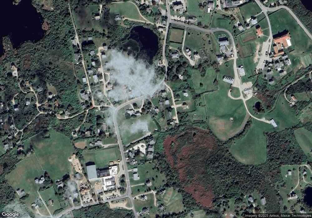
Map
Nearby Homes
- 1289 High St
- 194 Pilot Hill Rd
- 256 High St
- 481 Old Town Rd
- 0 Spring St
- 0 Southeast Rd Unit 1381406
- 0 Pilot Hill Rd
- 1661 Sand Pond Rd
- 1087 Lakeside Dr
- 804 Mohegan Trail
- 0 Mohegan Trail
- 1448 Mohegan Trail
- 1035 Mohegan Trail
- 1501 Beacon Hill Rd
- 0 Snake Hole Rd
- 1743 Corn Neck Rd
- 0 Coast Guard Rd
- 1720 Corn Neck Rd
- 1713 Corn Neck Rd
- 1328 Cooneymus Rd
- 1257 High St
- 1256 High St
- 768 High St
- 1253 High St
- 1255 High St
- 0 High View Ln Unit 1076676
- 0 High View Ln Unit 1267605
- 189 High View Ln
- 1691 High St
- 367 High St
- 0 High St Unit 1299997
- 370 High St
- 366 High St
- 1802 High St Unit 7
- 382 High St
- 365 High St
- 1044 High St
- 383 High St
- 1803 High St Unit 3
- 1805 High St