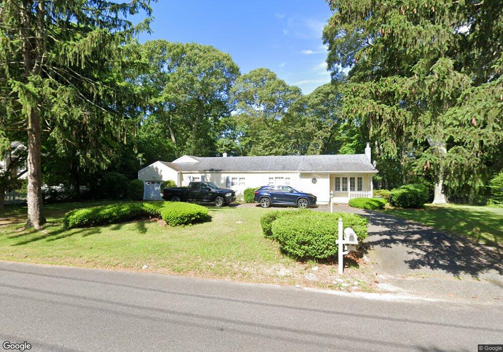
368 Mac Arthur Blvd Hauppauge, NY 11788
Estimated Value: $690,621 - $838,000
--
Bed
--
Bath
2,418
Sq Ft
$317/Sq Ft
Est. Value
About This Home
This home is located at 368 Mac Arthur Blvd, Hauppauge, NY 11788 and is currently estimated at $767,655, approximately $317 per square foot. 368 Mac Arthur Blvd is a home located in Suffolk County with nearby schools including Hauppauge Middle School, Hauppauge High School, and Smithtown Christian School.
Ownership History
Date
Name
Owned For
Owner Type
Purchase Details
Closed on
May 4, 2018
Sold by
Monge Dolores
Bought by
Dolores Monge Ft
Current Estimated Value
Purchase Details
Closed on
Apr 21, 2010
Sold by
Monge Luis and Monge Dolores
Bought by
Monge Luis and Monge Dolores
Home Financials for this Owner
Home Financials are based on the most recent Mortgage that was taken out on this home.
Original Mortgage
$424,297
Interest Rate
4.74%
Mortgage Type
FHA
Create a Home Valuation Report for This Property
The Home Valuation Report is an in-depth analysis detailing your home's value as well as a comparison with similar homes in the area
Home Values in the Area
Average Home Value in this Area
Purchase History
| Date | Buyer | Sale Price | Title Company |
|---|---|---|---|
| Dolores Monge Ft | -- | -- | |
| Monge Luis | -- | -- |
Source: Public Records
Mortgage History
| Date | Status | Borrower | Loan Amount |
|---|---|---|---|
| Previous Owner | Monge Luis | $424,297 |
Source: Public Records
Tax History Compared to Growth
Tax History
| Year | Tax Paid | Tax Assessment Tax Assessment Total Assessment is a certain percentage of the fair market value that is determined by local assessors to be the total taxable value of land and additions on the property. | Land | Improvement |
|---|---|---|---|---|
| 2024 | $10,166 | $47,500 | $13,800 | $33,700 |
| 2023 | $10,166 | $47,500 | $13,800 | $33,700 |
| 2022 | $8,142 | $47,500 | $13,800 | $33,700 |
| 2021 | $8,142 | $47,500 | $13,800 | $33,700 |
| 2020 | $9,023 | $47,500 | $13,800 | $33,700 |
| 2019 | $9,023 | $0 | $0 | $0 |
| 2018 | -- | $47,500 | $13,800 | $33,700 |
| 2017 | $8,595 | $47,500 | $13,800 | $33,700 |
| 2016 | $8,245 | $47,500 | $13,800 | $33,700 |
| 2015 | -- | $47,500 | $13,800 | $33,700 |
| 2014 | -- | $47,500 | $13,800 | $33,700 |
Source: Public Records
Map
Nearby Homes
- 442 Hoffman Ln
- 639 Townline Rd
- 246 Roosevelt Blvd
- 10 N Hoffman Ln
- 154 Mac Arthur Blvd
- 457 Village Dr Unit 457
- 1462 Motor Pkwy
- 44 Apple Tree Dr
- 459 Village Dr Unit 459
- 126 Roosevelt Blvd
- 1484 Motor Pkwy
- 185 S Plaisted Ave
- 316 Mount Pleasant Rd
- 25 Estate Rd
- 51 Windwatch Dr Unit 51
- 61 Windwatch Dr
- 85 Windwatch Dr
- 11 Joyce Dr
- 9 Nolan Ct
- 424 Evergreen Ave
- 360 Mac Arthur Blvd
- 370 Mac Arthur Blvd
- 372 Mac Arthur Blvd
- 367 Mac Arthur Blvd
- 385 Macarthur Blvd
- 385 Mac Arthur Blvd
- 361 Mac Arthur Blvd
- 1 Timber Ridge Dr
- 21 Pleasant View Ct
- 378 Mac Arthur Blvd
- 3 Timber Ridge Dr
- 23 Pleasant View Ct
- 399 Mac Arthur Blvd
- 357 Mac Arthur Blvd
- 5 Timber Ridge Dr
- 5 Timber Ridge Dr
- 19 Pleasant View Ct
- 405 Mac Arthur Blvd
- 384 Mac Arthur Blvd
- 7 Timber Ridge Dr