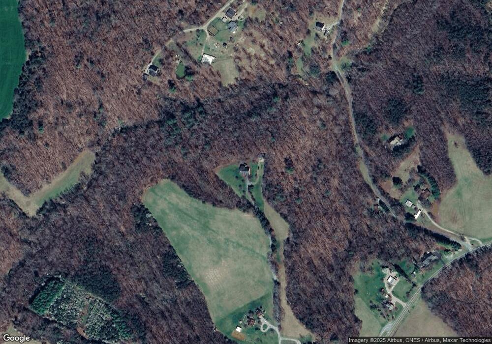
Estimated Value: $439,000 - $758,336
2
Beds
3
Baths
1,550
Sq Ft
$390/Sq Ft
Est. Value
About This Home
This home is located at 368 Mill Branch Ln, Wirtz, VA 24184 and is currently estimated at $604,445, approximately $389 per square foot. 368 Mill Branch Ln is a home located in Franklin County with nearby schools including Burnt Chimney Elementary School, Benjamin Franklin Middle School, and Franklin County High School.
Ownership History
Date
Name
Owned For
Owner Type
Purchase Details
Closed on
May 9, 2025
Sold by
Scott Frank H and Scott Gloria M
Bought by
Scott Kevin D and Scott Tammy J
Current Estimated Value
Home Financials for this Owner
Home Financials are based on the most recent Mortgage that was taken out on this home.
Original Mortgage
$141,521
Outstanding Balance
$141,035
Interest Rate
6.81%
Mortgage Type
New Conventional
Estimated Equity
$463,410
Create a Home Valuation Report for This Property
The Home Valuation Report is an in-depth analysis detailing your home's value as well as a comparison with similar homes in the area
Home Values in the Area
Average Home Value in this Area
Purchase History
| Date | Buyer | Sale Price | Title Company |
|---|---|---|---|
| Scott Kevin D | $137,000 | Fidelity National Title | |
| Scott Kevin D | $137,000 | Fidelity National Title |
Source: Public Records
Mortgage History
| Date | Status | Borrower | Loan Amount |
|---|---|---|---|
| Open | Scott Kevin D | $141,521 | |
| Closed | Scott Kevin D | $141,521 |
Source: Public Records
Tax History Compared to Growth
Tax History
| Year | Tax Paid | Tax Assessment Tax Assessment Total Assessment is a certain percentage of the fair market value that is determined by local assessors to be the total taxable value of land and additions on the property. | Land | Improvement |
|---|---|---|---|---|
| 2024 | $2,785 | $647,700 | $165,300 | $482,400 |
| 2023 | $2,135 | $429,100 | $151,300 | $277,800 |
| 2022 | $2,135 | $429,100 | $151,300 | $277,800 |
| 2021 | $2,135 | $429,100 | $151,300 | $277,800 |
| 2020 | $2,135 | $429,100 | $151,300 | $277,800 |
| 2019 | $1,943 | $397,600 | $151,300 | $246,300 |
| 2018 | $1,943 | $397,600 | $151,300 | $246,300 |
| 2017 | $1,752 | $384,600 | $151,300 | $233,300 |
| 2016 | -- | $384,600 | $151,300 | $233,300 |
| 2015 | -- | $63,300 | $0 | $63,300 |
| 2014 | -- | $0 | $0 | $0 |
| 2013 | -- | $63,300 | $0 | $63,300 |
Source: Public Records
Map
Nearby Homes
- 0 Booker t Washington Hwy Unit 921911
- 945 Burnt Chimney Rd
- 370 Saddlewood Dr
- 1544 Burnt Chimney Rd
- 420 Stonybrook Rd
- 371 Nyle Ridge Rd
- 120 Nyle Ridge Rd
- Lot 22 Nyle Ridge Rd
- Lot 24 Nyle Ridge Rd
- 26 Nyle Ridge Rd
- Lot 5 Nyle Ridge Rd
- Lots 4 & 5 Nyle Ridge Rd
- 14 Nyle Ridge Rd
- 1 Nyle Ridge Rd
- Lot 1 Nyle Ridge Rd
- 24 Nyle Ridge Rd
- 25 Nyle Ridge Rd
- Lot 4 Nyle Ridge Rd
- 27 Nyle Ridge Rd
- Lot 25 Nyle Ridge Rd
- 205 Mill Branch Ln
- 125 Terrell Dr
- 8225 Booker t Washington Hwy
- 8347 Booker t Washington Hwy
- 180 Terrell Dr
- 8499 Booker t Washington Hwy
- 8445 Booker t Washington Hwy
- 545 Terrell Dr
- 357 Terrell Dr
- 549 Terrell Dr
- 8065 Booker t Washington Hwy
- 493 Terrell Dr
- 95 High Meadows Dr
- 565 Terrell Dr
- 8550 Booker t Washington Hwy
- 490 Terrell Dr
- 8260 Booker t Washington Hwy
- 585 Terrell Dr
- 145 High Meadows Dr
- 150 High Meadows Dr
