368 N 1060 East Cir American Fork, UT 84003
Estimated Value: $406,000 - $572,000
2
Beds
2
Baths
1,274
Sq Ft
$377/Sq Ft
Est. Value
About This Home
This home is located at 368 N 1060 East Cir, American Fork, UT 84003 and is currently estimated at $480,597, approximately $377 per square foot. 368 N 1060 East Cir is a home located in Utah County with nearby schools including Barratt Elementary School, American Fork Junior High School, and American Fork High School.
Ownership History
Date
Name
Owned For
Owner Type
Purchase Details
Closed on
Mar 26, 2025
Sold by
Burrows Family Trust and Burrows Colleen B
Bought by
Colleen B Burrows Trust and Burrows
Current Estimated Value
Purchase Details
Closed on
Sep 26, 2022
Sold by
Burrows Colleen B and Burrows Family Trust
Bought by
Burrows Family Trust and Burrows
Purchase Details
Closed on
Jul 26, 2017
Sold by
Lyman Thayne and Lyman Sherleca
Bought by
Burrows Ervin C and Burrows Colleen N
Purchase Details
Closed on
Nov 25, 2013
Sold by
Lyman Garrett M
Bought by
Lyman Thayne and Lyman Sheriece
Purchase Details
Closed on
Oct 12, 2013
Sold by
Workman John C
Bought by
Lyman Garrett M
Purchase Details
Closed on
Jul 8, 2005
Sold by
Miller Af Associates Lc
Bought by
Workman John C
Create a Home Valuation Report for This Property
The Home Valuation Report is an in-depth analysis detailing your home's value as well as a comparison with similar homes in the area
Home Values in the Area
Average Home Value in this Area
Purchase History
| Date | Buyer | Sale Price | Title Company |
|---|---|---|---|
| Colleen B Burrows Trust | -- | None Listed On Document | |
| Burrows Family Trust | -- | None Listed On Document | |
| Burrows Ervin C | -- | North American Title Orem | |
| Lyman Thayne | -- | Capitol Title | |
| Lyman Garrett M | -- | Capitol Title | |
| Workman John C | -- | Equity Title Tooele |
Source: Public Records
Tax History Compared to Growth
Tax History
| Year | Tax Paid | Tax Assessment Tax Assessment Total Assessment is a certain percentage of the fair market value that is determined by local assessors to be the total taxable value of land and additions on the property. | Land | Improvement |
|---|---|---|---|---|
| 2025 | $2,241 | $240,625 | $109,800 | $327,700 |
| 2024 | $2,000 | $248,985 | $0 | $0 |
| 2023 | $2,077 | $235,620 | $0 | $0 |
| 2022 | $2,077 | $241,505 | $0 | $0 |
| 2021 | $1,860 | $337,800 | $100,000 | $237,800 |
| 2020 | $1,623 | $318,700 | $100,000 | $218,700 |
| 2019 | $1,623 | $295,600 | $100,000 | $195,600 |
| 2018 | $1,697 | $295,600 | $100,000 | $195,600 |
| 2017 | $1,478 | $138,930 | $0 | $0 |
| 2016 | $1,430 | $124,905 | $0 | $0 |
| 2015 | $1,453 | $120,450 | $0 | $0 |
| 2014 | $1,339 | $109,450 | $0 | $0 |
Source: Public Records
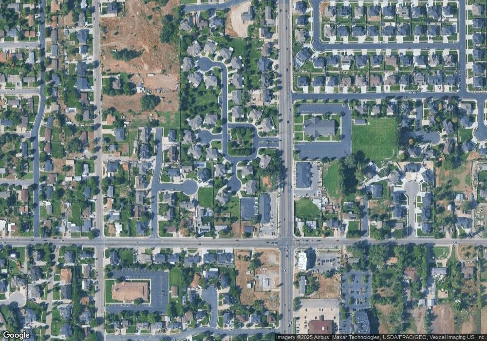
Map
Nearby Homes
- 368 N 1060 E Unit 41
- 1076 E 370 N
- 356 N 1060 East Cir
- 356 N 1060 E Unit 40
- 354 N 1060 E Unit 39
- 1082 E 370 N
- 1082 E 370 N Unit 43
- 354 N 1060 East Cir
- 367 N 1060 E Unit 36
- 367 N 1060 East Cir
- 369 N 1060 East Cir
- 369 N 1060 E Unit 35
- 1084 E 370 N
- 1084 E 370 N Unit 44
- 341 N 1100 E
- 371 N 1050 E
- 371 N 1050 E Unit 34
- 343 N 1060 E Unit 38
- 345 N 1060 East Cir
- 343 N 1060 East Cir