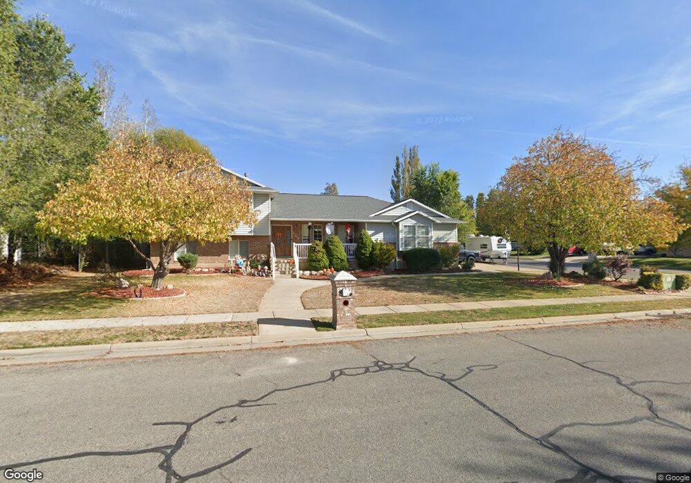
368 N 1875 W West Point, UT 84015
Estimated Value: $535,000 - $561,481
4
Beds
4
Baths
2,793
Sq Ft
$197/Sq Ft
Est. Value
About This Home
This home is located at 368 N 1875 W, West Point, UT 84015 and is currently estimated at $550,620, approximately $197 per square foot. 368 N 1875 W is a home located in Davis County with nearby schools including Lakeside School, West Point Junior High School, and Syracuse High School.
Ownership History
Date
Name
Owned For
Owner Type
Purchase Details
Closed on
Jul 10, 2019
Sold by
Edelen April M
Bought by
Stillman Brandon K and Stillman Meredith H
Current Estimated Value
Home Financials for this Owner
Home Financials are based on the most recent Mortgage that was taken out on this home.
Original Mortgage
$335,805
Outstanding Balance
$292,325
Interest Rate
3.62%
Mortgage Type
FHA
Estimated Equity
$258,295
Purchase Details
Closed on
Apr 19, 2012
Sold by
Hancock Kevin H and Hancock Ann F
Bought by
Edelen April M
Home Financials for this Owner
Home Financials are based on the most recent Mortgage that was taken out on this home.
Original Mortgage
$153,000
Interest Rate
4.05%
Mortgage Type
New Conventional
Purchase Details
Closed on
Dec 30, 1998
Sold by
Markos Amy L
Bought by
Hancock Kevin H and Hancock Ann F
Home Financials for this Owner
Home Financials are based on the most recent Mortgage that was taken out on this home.
Original Mortgage
$147,150
Interest Rate
6.82%
Create a Home Valuation Report for This Property
The Home Valuation Report is an in-depth analysis detailing your home's value as well as a comparison with similar homes in the area
Home Values in the Area
Average Home Value in this Area
Purchase History
| Date | Buyer | Sale Price | Title Company |
|---|---|---|---|
| Stillman Brandon K | -- | North American Title | |
| Edelen April M | -- | Lincoln Title Insura | |
| Hancock Kevin H | -- | Security Title |
Source: Public Records
Mortgage History
| Date | Status | Borrower | Loan Amount |
|---|---|---|---|
| Open | Stillman Brandon K | $335,805 | |
| Previous Owner | Edelen April M | $153,000 | |
| Previous Owner | Hancock Kevin H | $147,150 |
Source: Public Records
Tax History Compared to Growth
Tax History
| Year | Tax Paid | Tax Assessment Tax Assessment Total Assessment is a certain percentage of the fair market value that is determined by local assessors to be the total taxable value of land and additions on the property. | Land | Improvement |
|---|---|---|---|---|
| 2025 | $3,181 | $298,100 | $98,339 | $199,761 |
| 2024 | $3,056 | $287,650 | $88,578 | $199,072 |
| 2023 | $2,801 | $485,000 | $107,791 | $377,209 |
| 2022 | $3,041 | $288,200 | $55,352 | $232,848 |
| 2021 | $2,807 | $398,000 | $89,293 | $308,707 |
| 2020 | $2,423 | $339,000 | $74,495 | $264,505 |
| 2019 | $2,341 | $323,000 | $72,429 | $250,571 |
| 2018 | $2,206 | $300,000 | $73,577 | $226,423 |
| 2016 | $1,841 | $131,725 | $28,418 | $103,307 |
| 2015 | $1,856 | $125,840 | $28,418 | $97,422 |
| 2014 | $1,636 | $112,461 | $28,418 | $84,043 |
| 2013 | -- | $92,137 | $27,996 | $64,141 |
Source: Public Records
Map
Nearby Homes
- 1774 W 400 N
- 1652 W 560 N
- 607 N 2000 W
- 1805 W 675 N
- 47 N 1750 W
- 12 N 2000 W Unit 1
- 1832 W 725 N
- 1827 W 775 N
- 575 N 1350 W Unit 137
- 1828 W 75 S
- 2283 W 470 N
- 1350 W 300 N Unit 49
- 1350 W 300 N Unit 38
- 1350 W 300 N Unit 29
- 563 N 1350 W Unit 139
- 1648 W 150 S
- 1337 W 550 N Unit 195
- 2132 W 800 N
- 135 S 1525 W
- 423 N 1250 W Unit 118