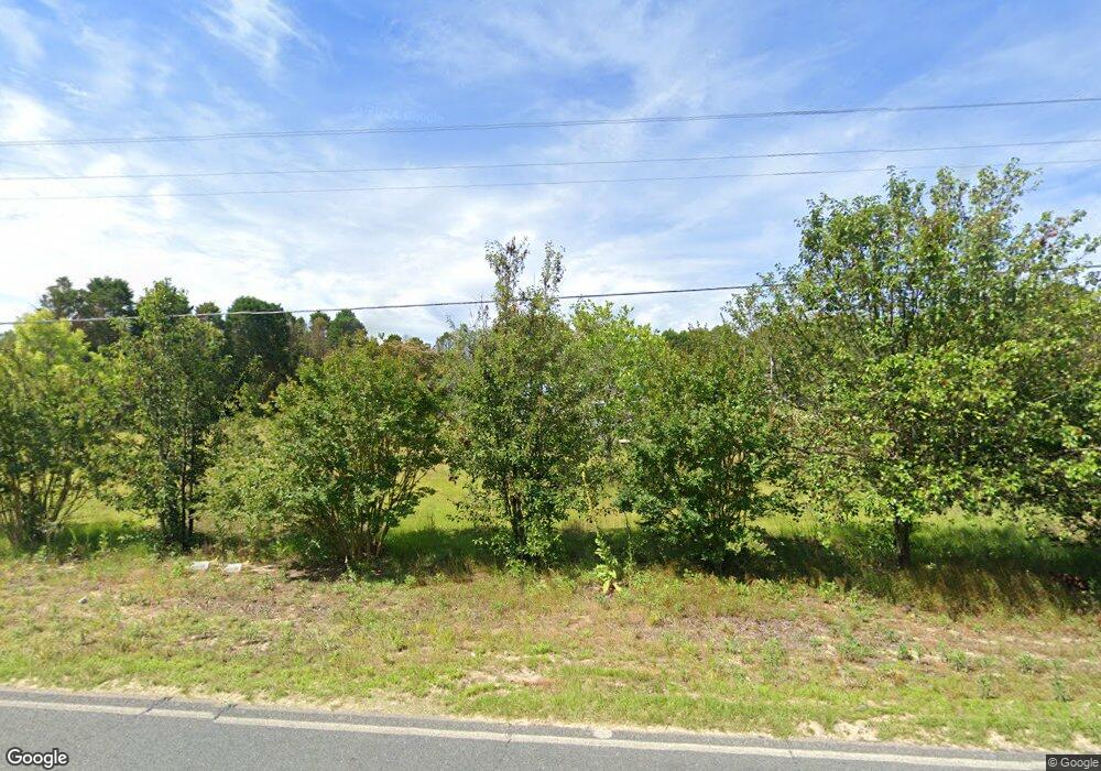
368 Northside Dr Rockingham, NC 28379
Estimated Value: $112,000 - $168,000
--
Bed
--
Bath
1,026
Sq Ft
$133/Sq Ft
Est. Value
About This Home
This home is located at 368 Northside Dr, Rockingham, NC 28379 and is currently estimated at $136,559, approximately $133 per square foot. 368 Northside Dr is a home with nearby schools including West Rockingham Elementary School, Rockingham Middle School, and Ashley Chapel Educational Center.
Ownership History
Date
Name
Owned For
Owner Type
Purchase Details
Closed on
Sep 9, 2021
Sold by
Bryant Roger Steve and Bryant Julie A
Bought by
Bc Property Management Llc
Current Estimated Value
Purchase Details
Closed on
Mar 23, 2017
Sold by
Rhodes Jonathan Howard
Bought by
Rhodes Bonnilee
Purchase Details
Closed on
Feb 20, 2017
Sold by
Milligan Cassidy Autumn
Bought by
Bryant Roger Steve and Bryant Julie A
Purchase Details
Closed on
Sep 21, 2016
Sold by
Bryant Brenda
Bought by
Milligan Cassidy Autumn
Purchase Details
Closed on
Jan 12, 1993
Bought by
Bryant Roger S and Bryant Brenda T
Create a Home Valuation Report for This Property
The Home Valuation Report is an in-depth analysis detailing your home's value as well as a comparison with similar homes in the area
Home Values in the Area
Average Home Value in this Area
Purchase History
| Date | Buyer | Sale Price | Title Company |
|---|---|---|---|
| Bc Property Management Llc | $7,500 | Chicago Title | |
| Bc Property Management Llc | $7,500 | Chicago Title | |
| Rhodes Bonnilee | -- | None Available | |
| Bryant Roger Steve | -- | None Available | |
| Milligan Cassidy Autumn | -- | None Available | |
| Bryant Roger S | $3,000 | -- |
Source: Public Records
Tax History Compared to Growth
Tax History
| Year | Tax Paid | Tax Assessment Tax Assessment Total Assessment is a certain percentage of the fair market value that is determined by local assessors to be the total taxable value of land and additions on the property. | Land | Improvement |
|---|---|---|---|---|
| 2025 | $1,031 | $125,740 | $6,900 | $118,840 |
| 2024 | $1,129 | $134,411 | $15,571 | $118,840 |
| 2023 | $148 | $16,140 | $7,924 | $8,216 |
| 2022 | $162 | $17,639 | $9,423 | $8,216 |
| 2021 | $162 | $17,639 | $9,423 | $8,216 |
| 2020 | $162 | $17,639 | $9,423 | $8,216 |
| 2019 | $329 | $17,639 | $9,423 | $8,216 |
| 2018 | $329 | $17,639 | $9,423 | $8,216 |
| 2016 | $82 | $17,639 | $9,423 | $8,216 |
| 2014 | -- | $32,012 | $9,080 | $22,932 |
Source: Public Records
Map
Nearby Homes
- 181 Stelleys Tabernacle Church Rd
- 212 Guardian Way
- 000 Mcneil Rd Unit 13
- 110 Haywood Cemetery Rd
- 156 Roberdel School Rd
- 119 Dockery Rd
- 000 Mcneill St
- 1215 Roberdel Rd
- 0 Nicholson Rd
- 0 Terry Bridge Rd
- 110 Ponds Ln
- 277 Old Woods Rd
- 0 Creek Run Unit 100336089
- 115 Creek Run Ln
- 427 Green Lake Rd
- 1507 Brookfield Rd
- 160 Evergreen Ct
- 119 Pineview Ct
- 00 Dockery Rd
- 120 Parker St
- 378 Northside Dr
- 112 Arthur Cir
- 379 Northside Dr
- 114 Shaw Ln
- 352 Northside Dr
- 386 Northside Dr
- 357 Northside Dr
- 120 Shaw Ln
- 122 Arthur Cir
- 395 Northside Dr
- 344 Northside Dr
- 120 Hutchinson Dr
- 369 Northside Dr
- 405 Northside Dr
- 132 Hutchinson Dr
- 326 Northside Dr
- 420 Northside Dr
- 407 Northside Dr
- 140 Shaw Ln
- 327 Northside Dr
