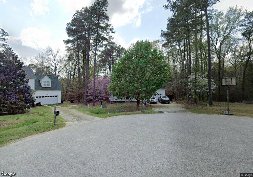
368 Old Cabin Ct Angier, NC 27501
Pleasant Grove NeighborhoodEstimated Value: $328,000 - $377,000
3
Beds
3
Baths
1,698
Sq Ft
$210/Sq Ft
Est. Value
About This Home
This home is located at 368 Old Cabin Ct, Angier, NC 27501 and is currently estimated at $356,602, approximately $210 per square foot. 368 Old Cabin Ct is a home located in Johnston County with nearby schools including McGee's Crossroads Elementary School, McGee's Crossroads Middle School, and West Johnston High School.
Ownership History
Date
Name
Owned For
Owner Type
Purchase Details
Closed on
Feb 18, 2020
Sold by
Garbarino Eric and Garbarino Cathryn
Bought by
Garbarino Eric
Current Estimated Value
Purchase Details
Closed on
Aug 16, 2004
Sold by
Garbarino Eric
Bought by
Ashley Turner Building Co Inc
Purchase Details
Closed on
May 5, 2004
Sold by
Ashley Turner Building Co Inc
Bought by
Ashley Turner Enterprises Inc
Purchase Details
Closed on
Sep 20, 2002
Sold by
Ashley Turner Enterprises Inc
Bought by
Crossroads Development Corp
Create a Home Valuation Report for This Property
The Home Valuation Report is an in-depth analysis detailing your home's value as well as a comparison with similar homes in the area
Home Values in the Area
Average Home Value in this Area
Purchase History
| Date | Buyer | Sale Price | Title Company |
|---|---|---|---|
| Garbarino Eric | -- | None Available | |
| Ashley Turner Building Co Inc | $156,000 | -- | |
| Ashley Turner Enterprises Inc | -- | -- | |
| Crossroads Development Corp | -- | -- |
Source: Public Records
Tax History Compared to Growth
Tax History
| Year | Tax Paid | Tax Assessment Tax Assessment Total Assessment is a certain percentage of the fair market value that is determined by local assessors to be the total taxable value of land and additions on the property. | Land | Improvement |
|---|---|---|---|---|
| 2025 | $2,266 | $356,890 | $92,000 | $264,890 |
| 2024 | $1,636 | $201,920 | $41,400 | $160,520 |
| 2023 | $1,585 | $201,920 | $41,400 | $160,520 |
| 2022 | $1,636 | $201,920 | $41,400 | $160,520 |
| 2021 | $1,636 | $201,920 | $41,400 | $160,520 |
| 2020 | $1,696 | $201,920 | $41,400 | $160,520 |
| 2019 | $1,656 | $201,920 | $41,400 | $160,520 |
| 2018 | $1,501 | $178,740 | $36,800 | $141,940 |
| 2017 | $1,501 | $178,740 | $36,800 | $141,940 |
| 2016 | $1,501 | $178,740 | $36,800 | $141,940 |
| 2015 | $1,501 | $178,740 | $36,800 | $141,940 |
| 2014 | $1,501 | $178,740 | $36,800 | $141,940 |
Source: Public Records
Map
Nearby Homes
- 160 Old Cabin Ct
- 100 Pine Needle Dr
- 135 White Memorial Rd
- 170 Parrish Landing Way
- 38.2 Acres Wiggins Rd
- 115 Wiggins Rd
- 175 White Memorial Rd
- 230 Paula Dr
- 105 Pinecrest Dr
- 19 Lake Refuge Ct
- 197 Silverside Dr
- 250 Crosscreek Ln
- 19 Silverside Dr
- 506 Harbor Cove Dr
- 135 Brookstone Way
- 3002 Red Cir
- 823 Shadow Lake Dr
- 0 Massengill Pond Rd
- 1025 Lake Path Rd
- Cypress Plan at Cedar Ridge
- 374 Old Cabin Ct
- 356 Old Cabin Ct
- 363 Old Cabin Ct
- 345 Old Cabin Ct
- 326 Old Cabin Ct
- 496 Cabin Grove Ct
- 476 Cabin Grove Ct
- 311 Old Cabin Ct
- 300 Old Cabin Ct
- 412 Cabin Grove Ct
- 512 Cabin Grove Ct
- 495 Cabin Grove Ct
- 475 Cabin Grove Ct
- 376 Cabin Grove Ct
- 278 Old Cabin Ct
- (L-43) 376 Cabin Grove Ct
- 435 Cabin Grove Ct
- 513 Cabin Grove Ct
- 503 Cabin Grove Ct
- 354 Cabin Grove Ct