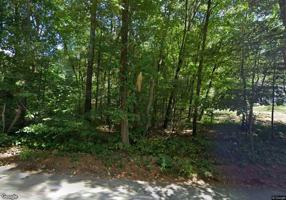
368 Pond St Dunstable, MA 01827
Estimated Value: $1,006,000 - $1,101,955
4
Beds
4
Baths
3,402
Sq Ft
$310/Sq Ft
Est. Value
About This Home
This home is located at 368 Pond St, Dunstable, MA 01827 and is currently estimated at $1,055,739, approximately $310 per square foot. 368 Pond St is a home with nearby schools including Groton Dunstable Regional High School.
Ownership History
Date
Name
Owned For
Owner Type
Purchase Details
Closed on
Aug 7, 2014
Sold by
Harrington Stephen J and Harrington Donna M
Bought by
Keeney Clinton L and Keeney Sara S
Current Estimated Value
Create a Home Valuation Report for This Property
The Home Valuation Report is an in-depth analysis detailing your home's value as well as a comparison with similar homes in the area
Home Values in the Area
Average Home Value in this Area
Purchase History
| Date | Buyer | Sale Price | Title Company |
|---|---|---|---|
| Keeney Clinton L | $155,000 | -- |
Source: Public Records
Tax History Compared to Growth
Tax History
| Year | Tax Paid | Tax Assessment Tax Assessment Total Assessment is a certain percentage of the fair market value that is determined by local assessors to be the total taxable value of land and additions on the property. | Land | Improvement |
|---|---|---|---|---|
| 2025 | $13,160 | $957,100 | $278,400 | $678,700 |
| 2024 | $12,584 | $901,400 | $259,000 | $642,400 |
| 2023 | $12,418 | $829,500 | $259,000 | $570,500 |
| 2022 | $11,409 | $748,100 | $259,000 | $489,100 |
| 2021 | $11,284 | $687,600 | $228,100 | $459,500 |
| 2020 | $11,108 | $659,600 | $219,900 | $439,700 |
| 2019 | $10,790 | $632,500 | $219,900 | $412,600 |
| 2018 | $10,387 | $592,200 | $211,700 | $380,500 |
| 2017 | $9,974 | $586,000 | $211,700 | $374,300 |
| 2016 | $3,098 | $187,200 | $187,200 | $0 |
| 2015 | $3,078 | $184,000 | $184,000 | $0 |
| 2014 | $2,902 | $184,000 | $184,000 | $0 |
Source: Public Records
Map
Nearby Homes
- 153 Off Pond St
- 446 Westford St
- 660 Old Dunstable Rd
- 319 Pleasant St
- 62 Brook St
- 2 Wildflower Ln
- 0 Lowell St
- 0 Old Dunstable Rd
- 11 Old Hickory Rd
- 4 Thorndike St
- 15 Stone Ridge Rd
- 160 Westford Rd
- 22 Highland Rd
- 24 Highland Rd
- 302 Cow Pond Brook Rd
- 78 Dunstable Rd
- 208 North St
- 3-5 Roxanne Rd
- 0 Dunstable Rd
- 1 Appian Way
