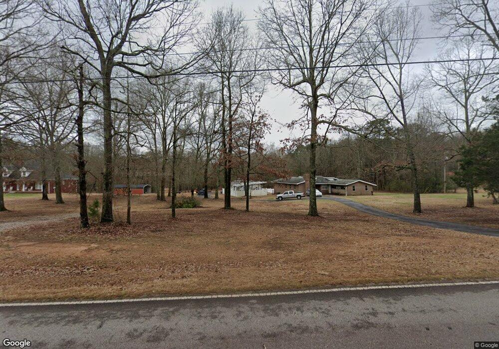
368 Stone Rd McDonough, GA 30253
Estimated Value: $375,000 - $479,000
4
Beds
2
Baths
2,751
Sq Ft
$157/Sq Ft
Est. Value
About This Home
This home is located at 368 Stone Rd, McDonough, GA 30253 and is currently estimated at $431,134, approximately $156 per square foot. 368 Stone Rd is a home located in Henry County with nearby schools including Mount Carmel Elementary School, Hampton Middle School, and Hampton High School.
Ownership History
Date
Name
Owned For
Owner Type
Purchase Details
Closed on
May 22, 2025
Sold by
Sanderfer William Curtis
Bought by
Sanderfer William Curtis
Current Estimated Value
Purchase Details
Closed on
Mar 2, 2022
Sold by
Sanderfer Peggy M
Bought by
Sanderfer William Curtis and Sanderfer Daniel Westley
Purchase Details
Closed on
Aug 24, 2005
Sold by
Sanderfer William G
Bought by
Sanderfer Peggy M
Create a Home Valuation Report for This Property
The Home Valuation Report is an in-depth analysis detailing your home's value as well as a comparison with similar homes in the area
Home Values in the Area
Average Home Value in this Area
Purchase History
| Date | Buyer | Sale Price | Title Company |
|---|---|---|---|
| Sanderfer William Curtis | -- | -- | |
| Sanderfer William Curtis | -- | -- | |
| Sanderfer Peggy M | -- | -- |
Source: Public Records
Tax History Compared to Growth
Tax History
| Year | Tax Paid | Tax Assessment Tax Assessment Total Assessment is a certain percentage of the fair market value that is determined by local assessors to be the total taxable value of land and additions on the property. | Land | Improvement |
|---|---|---|---|---|
| 2025 | $6,002 | $187,160 | $43,200 | $143,960 |
| 2024 | $6,002 | $173,840 | $38,880 | $134,960 |
| 2023 | $3,904 | $154,040 | $37,440 | $116,600 |
| 2022 | $1,049 | $127,280 | $34,560 | $92,720 |
| 2021 | $1,029 | $110,680 | $29,680 | $81,000 |
| 2020 | $1,021 | $100,880 | $27,920 | $72,960 |
| 2019 | $1,016 | $93,680 | $26,480 | $67,200 |
| 2018 | $1,011 | $88,240 | $24,480 | $63,760 |
| 2016 | $1,007 | $81,120 | $21,600 | $59,520 |
| 2015 | $1,020 | $76,720 | $23,840 | $52,880 |
| 2014 | $917 | $68,800 | $23,840 | $44,960 |
Source: Public Records
Map
Nearby Homes
- 272 Stone Rd
- 505 Stone Rd
- 112 Bridget Dr
- 125 Bridget Dr
- 650 New Morn Dr
- 1719 Highway 81 W
- 276 Oakland Rd
- 1533 Rolling Meadows Dr
- 461 Arbor Chase
- 1441 Trellis Ct
- 1441 Trellis Ct Unit (LOT 7)
- 400 Savannah Place
- 1248 Burlington Ct
- 1580 Blair Rd
- 2338 Braelin Loop
- 1313 Jubilee Ln
- 490 Dorsey Rd
- 374 Williamsburg Cir
- 2200 Highway 20 W
- 2093 Parador Bend