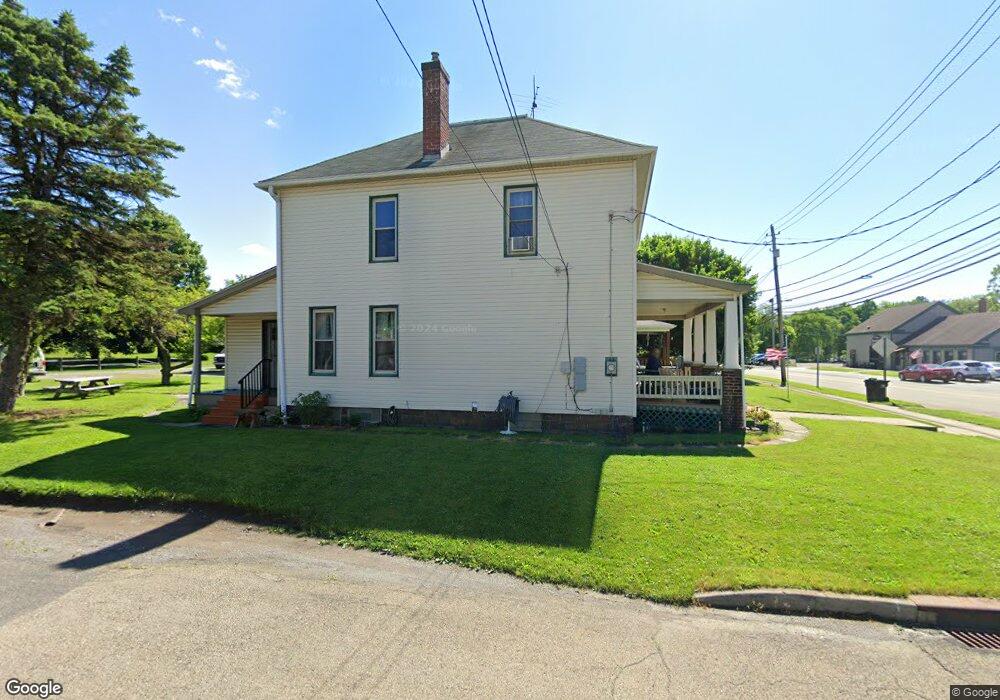
368 W Main St Unit 370 East Palestine, OH 44413
Estimated Value: $105,000 - $154,000
4
Beds
2
Baths
2,140
Sq Ft
$57/Sq Ft
Est. Value
About This Home
This home is located at 368 W Main St Unit 370, East Palestine, OH 44413 and is currently estimated at $122,610, approximately $57 per square foot. 368 W Main St Unit 370 is a home located in Columbiana County with nearby schools including East Palestine Elementary School, East Palestine Middle School, and East Palestine High School.
Ownership History
Date
Name
Owned For
Owner Type
Purchase Details
Closed on
Oct 15, 1998
Sold by
Federal National Mortgage Association
Bought by
Cohen Barbara L
Current Estimated Value
Home Financials for this Owner
Home Financials are based on the most recent Mortgage that was taken out on this home.
Original Mortgage
$42,000
Outstanding Balance
$9,196
Interest Rate
6.9%
Estimated Equity
$113,415
Purchase Details
Closed on
Jul 8, 1998
Sold by
Dowd John E and Dowd Sharon L
Bought by
Federal National Mortgage Association
Purchase Details
Closed on
Jun 21, 1995
Sold by
Andrew Vanfossen Est
Bought by
Dowd John E and Dowd L
Home Financials for this Owner
Home Financials are based on the most recent Mortgage that was taken out on this home.
Original Mortgage
$52,100
Interest Rate
7.9%
Mortgage Type
New Conventional
Create a Home Valuation Report for This Property
The Home Valuation Report is an in-depth analysis detailing your home's value as well as a comparison with similar homes in the area
Home Values in the Area
Average Home Value in this Area
Purchase History
| Date | Buyer | Sale Price | Title Company |
|---|---|---|---|
| Cohen Barbara L | -- | The Title Co Of Warren | |
| Federal National Mortgage Association | $33,000 | -- | |
| Dowd John E | $57,900 | -- |
Source: Public Records
Mortgage History
| Date | Status | Borrower | Loan Amount |
|---|---|---|---|
| Open | Cohen Barbara L | $42,000 | |
| Previous Owner | Dowd John E | $52,100 |
Source: Public Records
Tax History Compared to Growth
Tax History
| Year | Tax Paid | Tax Assessment Tax Assessment Total Assessment is a certain percentage of the fair market value that is determined by local assessors to be the total taxable value of land and additions on the property. | Land | Improvement |
|---|---|---|---|---|
| 2024 | $815 | $31,010 | $4,480 | $26,530 |
| 2023 | $839 | $31,010 | $4,480 | $26,530 |
| 2022 | $492 | $31,010 | $4,480 | $26,530 |
| 2021 | $484 | $25,730 | $4,480 | $21,250 |
| 2020 | $691 | $25,730 | $4,480 | $21,250 |
| 2019 | $504 | $25,730 | $4,480 | $21,250 |
| 2018 | $435 | $23,380 | $4,060 | $19,320 |
| 2017 | $374 | $23,380 | $4,060 | $19,320 |
| 2016 | $667 | $24,330 | $3,960 | $20,370 |
| 2015 | $667 | $24,330 | $3,960 | $20,370 |
| 2014 | $657 | $24,330 | $3,960 | $20,370 |
Source: Public Records
Map
Nearby Homes
- 395 W Clark St
- 201-203 W Clark St
- 115 W Taggart St
- 288 W North Ave
- 581 W North Ave Unit 2
- 601 W North Ave
- 377 N Market St
- 199 Garfield Ave
- 330 E Main St
- 5136 State Route 170
- 295 E Martin St
- 1075 Bacon Ave
- 0 Bacon Ave
- 681 Grandview Ave
- 684 Brookdale Ave
- 737 Moore Ln
- 365 Lyons Ave
- 745 E Martin St
- 1141 Howell Ave
- 0 N Pleasant Dr