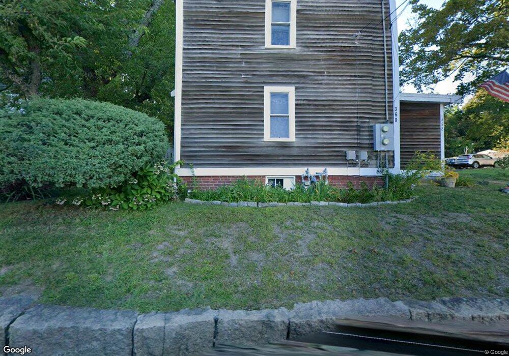
368 Washington St Unit 1 Gloucester, MA 01930
Riverview NeighborhoodEstimated Value: $470,121 - $567,000
2
Beds
1
Bath
1,008
Sq Ft
$530/Sq Ft
Est. Value
About This Home
This home is located at 368 Washington St Unit 1, Gloucester, MA 01930 and is currently estimated at $534,030, approximately $529 per square foot. 368 Washington St Unit 1 is a home located in Essex County with nearby schools including Beeman Memorial, Ralph B O'maley Middle School, and Faith Christian School.
Ownership History
Date
Name
Owned For
Owner Type
Purchase Details
Closed on
Jun 2, 2020
Sold by
Durkin Sheila C
Bought by
Walter F Durkin T
Current Estimated Value
Purchase Details
Closed on
Mar 14, 2019
Sold by
Fratoni Joseph A
Bought by
Durkin Walter F
Purchase Details
Closed on
Jun 2, 2006
Sold by
Goodell Eliza and Goodell Elizabeth
Bought by
Fratoni Joseph A
Home Financials for this Owner
Home Financials are based on the most recent Mortgage that was taken out on this home.
Original Mortgage
$115,000
Interest Rate
6.67%
Purchase Details
Closed on
Oct 9, 1987
Sold by
Fugalli Susan B
Bought by
Packard Richard
Create a Home Valuation Report for This Property
The Home Valuation Report is an in-depth analysis detailing your home's value as well as a comparison with similar homes in the area
Home Values in the Area
Average Home Value in this Area
Purchase History
| Date | Buyer | Sale Price | Title Company |
|---|---|---|---|
| Walter F Durkin T | -- | None Available | |
| Durkin Walter F | $310,000 | -- | |
| Fratoni Joseph A | $267,500 | -- | |
| Packard Richard | $110,000 | -- |
Source: Public Records
Mortgage History
| Date | Status | Borrower | Loan Amount |
|---|---|---|---|
| Previous Owner | Packard Richard | $116,800 | |
| Previous Owner | Packard Richard | $115,000 | |
| Previous Owner | Packard Richard | $214,000 | |
| Previous Owner | Packard Richard | $40,125 |
Source: Public Records
Tax History Compared to Growth
Tax History
| Year | Tax Paid | Tax Assessment Tax Assessment Total Assessment is a certain percentage of the fair market value that is determined by local assessors to be the total taxable value of land and additions on the property. | Land | Improvement |
|---|---|---|---|---|
| 2025 | $4,006 | $412,100 | $0 | $412,100 |
| 2024 | $3,759 | $386,300 | $0 | $386,300 |
| 2023 | $3,608 | $340,700 | $0 | $340,700 |
| 2022 | $3,622 | $308,800 | $0 | $308,800 |
| 2021 | $3,742 | $300,800 | $0 | $300,800 |
| 2020 | $3,709 | $300,800 | $0 | $300,800 |
| 2019 | $3,538 | $278,800 | $0 | $278,800 |
| 2018 | $3,341 | $258,400 | $0 | $258,400 |
| 2017 | $3,159 | $239,500 | $0 | $239,500 |
| 2016 | $3,002 | $220,600 | $0 | $220,600 |
| 2015 | $2,947 | $215,900 | $0 | $215,900 |
Source: Public Records
Map
Nearby Homes
- 109 Riverview Rd
- 18 Cherry St
- 49 Thurston Point Rd
- 65 Poplar St
- 19 Mystic Ave
- 6 Beauport Ave
- 196 Washington St
- 78 Grove St
- 3 Stone Ct
- 15 Harvard St
- 40 Sargent St
- 145 Essex Ave Unit 610
- 33 Maplewood Ave Unit 21
- 119 Pleasant St
- 8 Summer St Unit 103
- 5 Samoset Rd Unit A
- 672 Washington St
- 5 Washington Square
- 30 Atlantic St
- 4 Mount Vernon St
- 368 Washington St Unit 2
- 368 Washington St
- 372 Washington St
- 364 Washington St
- 370 Washington St
- 379 Washington St
- 381 Washington St
- 383 Washington St
- 383 Washington St Unit 1
- 13 Wheeler St Unit B
- 15 Wheeler St
- 358 Washington St
- 375 Washington St
- 17 Wheeler St
- 21 Wheeler St
- 376 Washington St
- 23 Wheeler St
- 16 Wheeler St
- 378 Washington St Unit 380
- 14 Wheeler St