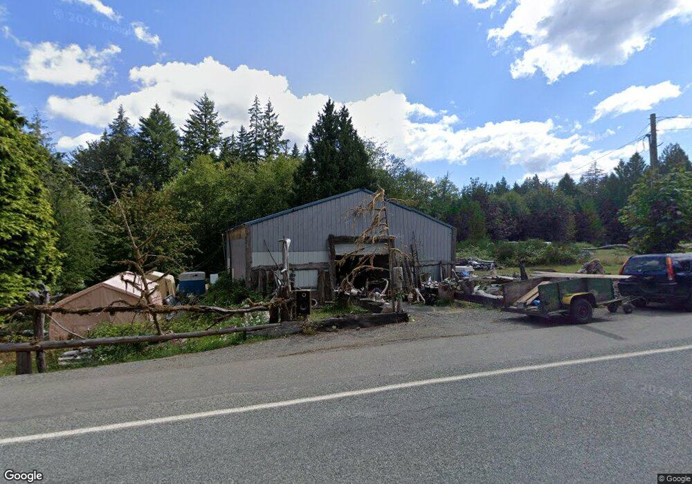
3680 E Grapeview Loop Rd Grapeview, WA 98546
Estimated Value: $442,000
3
Beds
1
Bath
1,296
Sq Ft
$341/Sq Ft
Est. Value
About This Home
This home is located at 3680 E Grapeview Loop Rd, Grapeview, WA 98546 and is currently estimated at $442,000, approximately $341 per square foot. 3680 E Grapeview Loop Rd is a home with nearby schools including Grapeview Elementary/Middle School.
Ownership History
Date
Name
Owned For
Owner Type
Purchase Details
Closed on
Aug 13, 2019
Sold by
Wolff Philip M
Bought by
Tallman Jerry L
Current Estimated Value
Home Financials for this Owner
Home Financials are based on the most recent Mortgage that was taken out on this home.
Original Mortgage
$77,500
Interest Rate
3.7%
Purchase Details
Closed on
Oct 18, 2016
Sold by
Wolff Hans
Bought by
Wolff Philip
Purchase Details
Closed on
Jan 14, 2015
Sold by
Turner Melissa A
Bought by
Wolff Hans
Purchase Details
Closed on
Feb 11, 2013
Sold by
Hill Jessica L and Hill Noah
Bought by
Turner Melissa A
Purchase Details
Closed on
Jul 28, 2004
Sold by
Hill Jacqueline M
Bought by
Mason County
Create a Home Valuation Report for This Property
The Home Valuation Report is an in-depth analysis detailing your home's value as well as a comparison with similar homes in the area
Purchase History
| Date | Buyer | Sale Price | Title Company |
|---|---|---|---|
| Tallman Jerry L | $77,219 | Mason County Title Co | |
| Wolff Philip | -- | None Available | |
| Wolff Hans | $35,000 | Mason County Title Ins Co | |
| Turner Melissa A | -- | -- | |
| Turner Melissa A | -- | -- | |
| Mason County | -- | None Available |
Source: Public Records
Mortgage History
| Date | Status | Borrower | Loan Amount |
|---|---|---|---|
| Closed | Tallman Jerry L | $77,500 |
Source: Public Records
Tax History
| Year | Tax Paid | Tax Assessment Tax Assessment Total Assessment is a certain percentage of the fair market value that is determined by local assessors to be the total taxable value of land and additions on the property. | Land | Improvement |
|---|---|---|---|---|
| 2025 | $1,105 | $143,700 | $105,500 | $38,200 |
| 2023 | $1,105 | $138,180 | $103,920 | $34,260 |
| 2022 | $782 | $86,045 | $72,545 | $13,500 |
| 2021 | $629 | $86,045 | $72,545 | $13,500 |
| 2020 | $580 | $69,305 | $55,805 | $13,500 |
| 2018 | $639 | $57,310 | $42,460 | $14,850 |
| 2017 | $567 | $57,255 | $42,405 | $14,850 |
| 2016 | $550 | $53,885 | $40,385 | $13,500 |
| 2015 | $1,057 | $52,050 | $43,050 | $9,000 |
| 2014 | -- | $44,000 | $35,000 | $9,000 |
| 2013 | -- | $90,885 | $49,875 | $41,010 |
Source: Public Records
Map
Nearby Homes
- 101 E Pirates Place
- 0 E Murray Rd N Unit NWM2467437
- 310 E Rauschert Rd
- 5440 E Grapeview Loop Rd
- 90 E Treasure Island Dr
- 432 E Pointes Dr E
- 148 E Fox Run Ln
- 758 E Promontory Rd
- 625 E Pointes Dr W
- 664 E Portage Rd
- 741 E Promontory Rd
- 731 E Promontory Rd
- 713 E Pointes Dr W
- 301 E Pointes Dr E
- 7504 Crescent Beach Rd NW
- 6206 Crescent Beach Rd NW
- 900 E Wilson Way
- 900 930 E Wilson Way
- 930 E Wilson Way
- 670 E Wilson Way
- 3590 E Grapeview Loop Rd
- 3710 E Grapeview Loop Rd
- 81 E Pirates Place
- 262 E Lombard Rd N
- 240 E Lombard Rd N
- 0 Lot 6 E Pirates Place
- 80 E Pirates Place
- 3574 E Grapeview Loop Rd
- 60 E Pirates Dr
- 60 E Pirates Place
- 551 E Lombard Rd S
- 530 E Lombard Rd S
- 490 E Lombard Rd S
- 510 E Lombard Rd S
- 470 E Lombard Rd S
- 250 E Lombard Rd N
- 3550 E Grapeview Loop Rd
- 81 E Harvest Dr
- 430 E Lombard Rd N
- 171 E Lombard Rd S
Your Personal Tour Guide
Ask me questions while you tour the home.