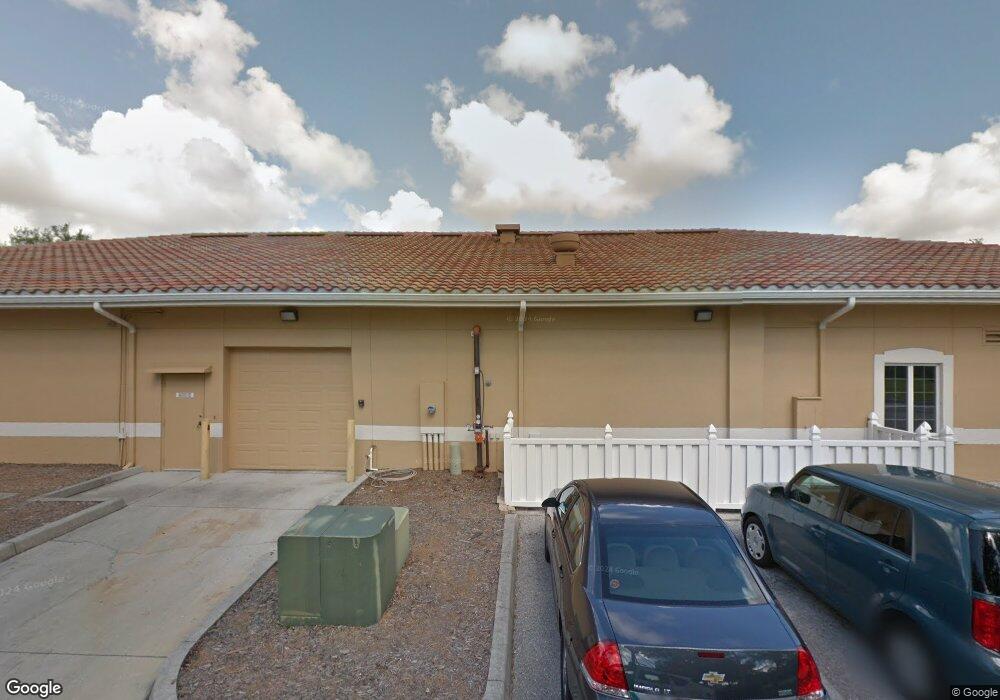
3681 Drive Sarasota, FL 34232
Estimated Value: $341,000 - $388,775
3
Beds
2
Baths
1,458
Sq Ft
$246/Sq Ft
Est. Value
About This Home
This home is located at 3681 Drive, Sarasota, FL 34232 and is currently estimated at $358,944, approximately $246 per square foot. 3681 Drive is a home located in Sarasota County with nearby schools including Brentwood Elementary School, McIntosh Middle School, and Sarasota High School.
Ownership History
Date
Name
Owned For
Owner Type
Purchase Details
Closed on
Aug 8, 2019
Sold by
Messina Sarah M and Messina Paul M
Bought by
Messina Sarah M and Messina Paul M
Current Estimated Value
Purchase Details
Closed on
Aug 12, 2004
Sold by
Denney Michael C and Denney Tracy E
Bought by
Mcmurry Sarah M
Home Financials for this Owner
Home Financials are based on the most recent Mortgage that was taken out on this home.
Original Mortgage
$124,000
Outstanding Balance
$61,387
Interest Rate
6.19%
Mortgage Type
Purchase Money Mortgage
Estimated Equity
$297,557
Purchase Details
Closed on
Oct 17, 2002
Sold by
Deeney Michael Calvin and Denney Tracy E
Bought by
Deeney Michael Calvin and Denney Tracy E
Home Financials for this Owner
Home Financials are based on the most recent Mortgage that was taken out on this home.
Original Mortgage
$99,200
Interest Rate
6.21%
Create a Home Valuation Report for This Property
The Home Valuation Report is an in-depth analysis detailing your home's value as well as a comparison with similar homes in the area
Home Values in the Area
Average Home Value in this Area
Purchase History
| Date | Buyer | Sale Price | Title Company |
|---|---|---|---|
| Messina Sarah M | -- | Attorney | |
| Mcmurry Sarah M | $155,000 | First American Title Insuran | |
| Deeney Michael Calvin | $34,500 | -- |
Source: Public Records
Mortgage History
| Date | Status | Borrower | Loan Amount |
|---|---|---|---|
| Open | Mcmurry Sarah M | $124,000 | |
| Previous Owner | Deeney Michael Calvin | $99,200 |
Source: Public Records
Tax History
| Year | Tax Paid | Tax Assessment Tax Assessment Total Assessment is a certain percentage of the fair market value that is determined by local assessors to be the total taxable value of land and additions on the property. | Land | Improvement |
|---|---|---|---|---|
| 2025 | $1,903 | $152,405 | -- | -- |
| 2024 | $1,799 | $148,110 | -- | -- |
| 2023 | $1,799 | $143,796 | $0 | $0 |
| 2022 | $1,718 | $139,608 | $0 | $0 |
| 2021 | $1,482 | $118,649 | $0 | $0 |
| 2020 | $1,439 | $114,743 | $0 | $0 |
| 2019 | $1,370 | $112,163 | $0 | $0 |
| 2018 | $1,232 | $103,104 | $0 | $0 |
| 2017 | $1,174 | $97,138 | $0 | $0 |
| 2016 | $1,159 | $141,200 | $43,400 | $97,800 |
| 2015 | $1,168 | $116,900 | $33,700 | $83,200 |
| 2014 | $1,162 | $92,344 | $0 | $0 |
Source: Public Records
Map
Nearby Homes
- 3635 Bali Dr
- 5354 Knollwood Place
- 5420 Starwood Place
- 5010 Lahaina Dr
- 5135 Brookmeade Dr
- 3331 Woodmont Dr
- 4970 Brookmeade Dr
- 3602 Spainwood Dr
- 5337 Colewood Place
- 3751 Papai Dr
- 5366 Foxwood Dr
- 4120 Via Piedra Cir Unit 2201
- 4103 Via Piedra Cir Unit 10101
- 4309 Via Piedra Cir Unit 6-103
- 5321 Foxwood Dr
- 2978 Lalani Blvd
- 3524 Papai Dr
- 4381 Reflections Pkwy
- 3905 Center Gate Cir Unit 3
- 3908 Center Gate Cir Unit 27
- 3681 Stokes Dr
- 3673 Stokes Dr
- 3665 Stokes Dr
- 3705 Stokes Dr
- 3680 Stokes Dr
- 3688 Stokes Dr
- 3672 Stokes Dr
- 3700 Stokes Dr
- 3657 Stokes Dr
- 3664 Stokes Dr
- 3708 Stokes Dr
- 3649 Stokes Dr
- 5323 Stokes Way
- 3656 Stokes Dr
- 3716 Stokes Dr
- 3711 Aloha Dr
- 3719 Aloha Dr
- 3668 Sharondale Dr
- 3647 Aloha Dr
- 3721 Stokes Dr