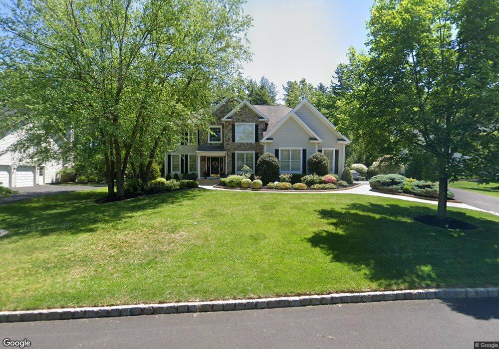
3681 Hancock Ln Doylestown, PA 18902
Estimated Value: $1,293,000 - $1,463,000
4
Beds
3
Baths
4,346
Sq Ft
$318/Sq Ft
Est. Value
About This Home
This home is located at 3681 Hancock Ln, Doylestown, PA 18902 and is currently estimated at $1,382,703, approximately $318 per square foot. 3681 Hancock Ln is a home located in Bucks County with nearby schools including Cold Spring Elementary School, Holicong Middle School, and Central Bucks High School - East.
Ownership History
Date
Name
Owned For
Owner Type
Purchase Details
Closed on
Dec 17, 1999
Sold by
Buckingham Woods Lp
Bought by
Staub Linwood A and Staub Mary W
Current Estimated Value
Home Financials for this Owner
Home Financials are based on the most recent Mortgage that was taken out on this home.
Original Mortgage
$388,600
Interest Rate
7.84%
Create a Home Valuation Report for This Property
The Home Valuation Report is an in-depth analysis detailing your home's value as well as a comparison with similar homes in the area
Home Values in the Area
Average Home Value in this Area
Purchase History
| Date | Buyer | Sale Price | Title Company |
|---|---|---|---|
| Staub Linwood A | $485,954 | T A Title Insurance Company |
Source: Public Records
Mortgage History
| Date | Status | Borrower | Loan Amount |
|---|---|---|---|
| Previous Owner | Staub Linwood A | $388,600 |
Source: Public Records
Tax History Compared to Growth
Tax History
| Year | Tax Paid | Tax Assessment Tax Assessment Total Assessment is a certain percentage of the fair market value that is determined by local assessors to be the total taxable value of land and additions on the property. | Land | Improvement |
|---|---|---|---|---|
| 2025 | $15,213 | $93,440 | $14,560 | $78,880 |
| 2024 | $15,213 | $93,440 | $14,560 | $78,880 |
| 2023 | $14,697 | $93,440 | $14,560 | $78,880 |
| 2022 | $14,522 | $93,440 | $14,560 | $78,880 |
| 2021 | $14,348 | $93,440 | $14,560 | $78,880 |
| 2020 | $14,348 | $93,440 | $14,560 | $78,880 |
| 2019 | $14,254 | $93,440 | $14,560 | $78,880 |
| 2018 | $14,254 | $93,440 | $14,560 | $78,880 |
| 2017 | $14,137 | $93,440 | $14,560 | $78,880 |
| 2016 | $14,278 | $93,440 | $14,560 | $78,880 |
| 2015 | -- | $93,440 | $14,560 | $78,880 |
| 2014 | -- | $93,440 | $14,560 | $78,880 |
Source: Public Records
Map
Nearby Homes
- 3689 Hancock Ln
- 3865 Burnt House Hill Rd
- 4605 Twinbrook Cir
- 3555 Northview Ln
- 4928 Edgewood Rd
- 4542 Deep Creek Way
- 3479 Durham Rd
- 3455 Durham Rd
- 4221 Enders Way
- 5063 Sagewood Ct
- 5115 Sugar Hill Ct
- 4936 Davis Dr
- 4925 Redfield Rd
- 4201 Sir Andrew Cir
- 4871 E Blossom Dr
- 4190 Milords Ln
- 3975 Amberton Ct
- 3111 Burnt House Hill Rd
- 3468 Holicong Rd
- 3196 Mill Rd
- 3679 Hancock Ln
- 3683 Hancock Ln
- 3675 Hancock Ln
- 3678 Hancock Ln
- 3682 Hancock Ln
- 3687 Hancock Ln
- 3684 Hancock Ln
- 4615 Frost Ln
- 3673 Hancock Ln
- 3676 Hancock Ln
- 3672 Hancock Ln
- 3686 Hancock Ln
- 4625 Frost Ln
- 3669 Hancock Ln
- 3670 Hancock Ln
- 3692 Hancock Ln
- 3691 Hancock Ln
- 4612 Frost Ln
- 3667 Hancock Ln
- 3668 Hancock Ln