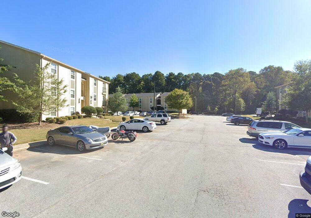
3681 N Decatur Rd Unit 12 Decatur, GA 30032
Estimated Value: $119,000 - $447,000
3
Beds
2
Baths
1,260
Sq Ft
$180/Sq Ft
Est. Value
About This Home
This home is located at 3681 N Decatur Rd Unit 12, Decatur, GA 30032 and is currently estimated at $226,935, approximately $180 per square foot. 3681 N Decatur Rd Unit 12 is a home located in DeKalb County with nearby schools including Dunaire Elementary School, Freedom Middle School, and Clarkston High School.
Ownership History
Date
Name
Owned For
Owner Type
Purchase Details
Closed on
Dec 21, 2021
Sold by
Decatur Holdings Sponsor Grp Llc
Bought by
Pavilion Pointe 2021 Llc
Current Estimated Value
Purchase Details
Closed on
Jan 28, 2013
Sold by
Radco Colonnades Llc
Bought by
Radco Seasons Apartment Holdin
Create a Home Valuation Report for This Property
The Home Valuation Report is an in-depth analysis detailing your home's value as well as a comparison with similar homes in the area
Home Values in the Area
Average Home Value in this Area
Purchase History
| Date | Buyer | Sale Price | Title Company |
|---|---|---|---|
| Pavilion Pointe 2021 Llc | $30,400,000 | -- | |
| Decatur Holdings Sponsor Grp Llc | -- | -- | |
| Pavilion Pointe 2021 Llc | $30,400,000 | -- | |
| Radco Seasons Apartment Holdin | $1,100,000 | -- | |
| Radco Colonnades Llc | $1,092,903 | -- |
Source: Public Records
Tax History Compared to Growth
Tax History
| Year | Tax Paid | Tax Assessment Tax Assessment Total Assessment is a certain percentage of the fair market value that is determined by local assessors to be the total taxable value of land and additions on the property. | Land | Improvement |
|---|---|---|---|---|
| 2025 | $3,094 | $69,600 | $9,600 | $60,000 |
| 2024 | $1,784 | $39,600 | $9,504 | $30,096 |
| 2023 | $1,784 | $39,600 | $9,504 | $30,096 |
| 2022 | $2,889 | $39,600 | $9,600 | $30,000 |
| 2021 | $2,338 | $52,720 | $9,600 | $43,120 |
| 2020 | $2,341 | $52,800 | $9,504 | $43,296 |
| 2019 | $2,341 | $52,800 | $9,504 | $43,296 |
| 2018 | $989 | $52,800 | $9,600 | $43,200 |
| 2017 | $1,706 | $38,145 | $6,866 | $31,279 |
| 2016 | $273 | $40,280 | $7,200 | $33,080 |
| 2014 | $392 | $8,120 | $1,240 | $6,880 |
Source: Public Records
Map
Nearby Homes
- 3532 Dial Dr
- 786 Brookside Parc Ln
- 3728 Dial Dr
- 485 Lantern Wood Dr
- 417 Kensington Parc Way
- 3724 Chavers Place
- 3801 Bretton Woods Rd
- 529 Lantern Wood Dr
- 608 Avondale Park Cir
- 538 Lantern Wood Dr
- 435 Warren Ave
- 3376 MacAiva Alley
- 3437 Catalan Alley
- 3425 Catalan Alley
- 3423 Catalan Alley
- 3389 Lantern View Ln
- 518 Hammett Dr
- 481 Glendale Rd
- 3681 N Decatur Rd Unit 18
- 3681 N Decatur Rd Unit 17
- 3681 N Decatur Rd Unit 11
- 3681 N Decatur Rd Unit 6
- 3681 N Decatur Rd Unit 5
- 3681 N Decatur Rd Unit 16
- 3681 N Decatur Rd Unit 15
- 3681 N Decatur Rd Unit 10
- 3681 N Decatur Rd Unit 9
- 3681 N Decatur Rd Unit 4
- 3681 N Decatur Rd Unit 3
- 3681 N Decatur Rd Unit 14
- 3681 N Decatur Rd Unit 13
- 3681 N Decatur Rd Unit 8
- 3681 N Decatur Rd Unit 7
- 3681 N Decatur Rd Unit 2
- 3681 N Decatur Rd Unit 1
- 3681 N Decatur Rd Unit 12
- 3681 N Decatur Rd Unit 11
- 3681 N Decatur Rd Unit 6