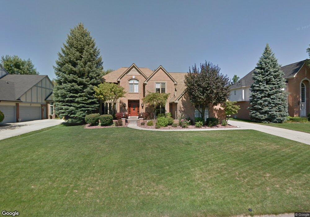
3682 Newcastle Dr Rochester Hills, MI 48306
Estimated Value: $731,808 - $851,000
4
Beds
3
Baths
4,204
Sq Ft
$188/Sq Ft
Est. Value
About This Home
This home is located at 3682 Newcastle Dr, Rochester Hills, MI 48306 and is currently estimated at $792,452, approximately $188 per square foot. 3682 Newcastle Dr is a home located in Oakland County with nearby schools including Musson Elementary School, Van Hoosen Middle School, and Rochester Adams High School.
Ownership History
Date
Name
Owned For
Owner Type
Purchase Details
Closed on
Aug 3, 2004
Sold by
Cendant Mobility Financial Corp
Bought by
Stewart David L and Stewart Barbara R
Current Estimated Value
Home Financials for this Owner
Home Financials are based on the most recent Mortgage that was taken out on this home.
Original Mortgage
$411,200
Outstanding Balance
$183,355
Interest Rate
4.5%
Mortgage Type
Purchase Money Mortgage
Estimated Equity
$609,097
Purchase Details
Closed on
Apr 24, 2004
Sold by
Tunic Brett M and Tunic Renee M
Bought by
Cendant Mobility Financial Corp
Purchase Details
Closed on
Jul 10, 2003
Sold by
Tunic Brett M and Tunic Renee M
Bought by
Tunic Bret M and Tunic Renee M
Purchase Details
Closed on
Feb 17, 2003
Sold by
Molteni Gianluigi and Molteni Caroline
Bought by
Tunic Brett M and Tunic Renee M
Purchase Details
Closed on
Jan 6, 1997
Sold by
Kruske Edward M
Bought by
Molteni Gianluigi
Create a Home Valuation Report for This Property
The Home Valuation Report is an in-depth analysis detailing your home's value as well as a comparison with similar homes in the area
Home Values in the Area
Average Home Value in this Area
Purchase History
| Date | Buyer | Sale Price | Title Company |
|---|---|---|---|
| Stewart David L | $514,000 | -- | |
| Cendant Mobility Financial Corp | $514,000 | -- | |
| Tunic Brett M | -- | -- | |
| Tunic Bret M | -- | -- | |
| Tunic Brett M | -- | Metropolitan Title Company | |
| Molteni Gianluigi | $373,000 | -- |
Source: Public Records
Mortgage History
| Date | Status | Borrower | Loan Amount |
|---|---|---|---|
| Open | Stewart David L | $411,200 |
Source: Public Records
Tax History Compared to Growth
Tax History
| Year | Tax Paid | Tax Assessment Tax Assessment Total Assessment is a certain percentage of the fair market value that is determined by local assessors to be the total taxable value of land and additions on the property. | Land | Improvement |
|---|---|---|---|---|
| 2022 | $3,699 | $268,140 | $0 | $0 |
| 2018 | $5,754 | $217,700 | $0 | $0 |
| 2017 | $5,639 | $217,620 | $0 | $0 |
| 2015 | -- | $207,390 | $0 | $0 |
| 2014 | -- | $178,850 | $0 | $0 |
| 2011 | -- | $163,000 | $0 | $0 |
Source: Public Records
Map
Nearby Homes
- 3674 Merriweather Ln
- 1906 Independence Ct
- 3640 Camden Ct
- 3273 Salem Dr
- 3634 Camden Ct
- 3633 Thornwood Dr
- 5700 Rolling Hills Dr
- 4035 Hillsdale Dr Unit 275
- 1609 Kilburn Rd N
- 2935 Woodford Cir
- 3534 Riverside Dr Unit 141
- 3879 Teakwood Ln
- 5826 Murfield Dr
- 3185 Saint James Ct
- 423 Silvervale Dr
- 2700 Mohawk Ln
- 3780 Bald Mountain Rd
- 5724 Murfield Dr
- 3095 Bridgewater Rd Unit 30
- 2821 Addison Cir S
- 3676 Newcastle Dr
- 3688 Newcastle Dr
- 3708 Edinborough Dr
- 3702 Edinborough Dr
- 3676 Edinborough Dr
- 3714 Edinborough Dr
- 1644 Newcastle Ct
- 3694 Newcastle Dr
- 3681 Newcastle Dr
- 3680 Edinborough Dr
- 3720 Edinborough Dr
- 3668 Edinborough Dr
- 3700 Newcastle Dr
- 1638 Newcastle Ct
- 3687 Newcastle Dr
- 3707 Edinborough Dr
- 3664 Edinborough Dr
- 3726 Edinborough Dr
- 3713 Edinborough Dr
- 1639 Newcastle Ct