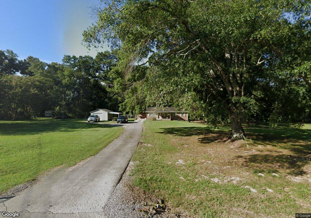
3683 Highway 67 S Somerville, AL 35670
Estimated Value: $198,000 - $235,000
3
Beds
2
Baths
1,547
Sq Ft
$139/Sq Ft
Est. Value
About This Home
This home is located at 3683 Highway 67 S, Somerville, AL 35670 and is currently estimated at $214,787, approximately $138 per square foot. 3683 Highway 67 S is a home located in Morgan County with nearby schools including Priceville Elementary School, Priceville Junior High School, and Priceville High School.
Ownership History
Date
Name
Owned For
Owner Type
Purchase Details
Closed on
Nov 4, 2022
Sold by
Smith Wilson M
Bought by
Ferrell Lucas Malcom and Lau Emilee Jane
Current Estimated Value
Home Financials for this Owner
Home Financials are based on the most recent Mortgage that was taken out on this home.
Original Mortgage
$157,102
Outstanding Balance
$152,003
Interest Rate
6.7%
Mortgage Type
FHA
Estimated Equity
$62,784
Purchase Details
Closed on
Jul 21, 2022
Sold by
Smith Rick M and Smith Leighanne P
Bought by
Smith Wilson M
Purchase Details
Closed on
Apr 20, 2017
Sold by
Mcclendon Carolyn
Bought by
Smith Rick M and Smith Wilson M
Create a Home Valuation Report for This Property
The Home Valuation Report is an in-depth analysis detailing your home's value as well as a comparison with similar homes in the area
Home Values in the Area
Average Home Value in this Area
Purchase History
| Date | Buyer | Sale Price | Title Company |
|---|---|---|---|
| Ferrell Lucas Malcom | $160,000 | -- | |
| Smith Wilson M | $88,400 | -- | |
| Smith Wilson M | $88,400 | None Listed On Document | |
| Smith Rick M | $90,000 | None Available |
Source: Public Records
Mortgage History
| Date | Status | Borrower | Loan Amount |
|---|---|---|---|
| Open | Ferrell Lucas Malcom | $157,102 |
Source: Public Records
Tax History Compared to Growth
Tax History
| Year | Tax Paid | Tax Assessment Tax Assessment Total Assessment is a certain percentage of the fair market value that is determined by local assessors to be the total taxable value of land and additions on the property. | Land | Improvement |
|---|---|---|---|---|
| 2024 | $539 | $15,820 | $2,530 | $13,290 |
| 2023 | $539 | $13,260 | $2,530 | $10,730 |
| 2022 | $443 | $13,260 | $2,530 | $10,730 |
| 2021 | $341 | $10,550 | $1,580 | $8,970 |
| 2020 | $341 | $19,520 | $1,580 | $17,940 |
| 2019 | $341 | $10,560 | $0 | $0 |
| 2015 | $293 | $9,260 | $0 | $0 |
| 2014 | $293 | $9,260 | $0 | $0 |
| 2013 | -- | $8,980 | $0 | $0 |
Source: Public Records
Map
Nearby Homes
- 46 Bluff City Rd
- 1 ACRE Highway 67 S
- 11 Route 67
- 16.5 Route 67
- 60 Acres Cain Rd
- 275 Cain Rd
- 4664 Route 67
- 370 Center Springs Rd
- 12.8 acres Hobb Ward Rd
- 0 Hobb Ward Rd
- 168 Sharp Rd
- 89 Lyle Cir
- 309 Nelson Hollow Rd
- 1094 Perkins Wood Rd
- 237 Newton Rd
- 571 Berry Rd
- 659 Church Rd
- 288 Union Rd
- 80 Shirley Hill Rd
- 335 S Old Six Mile Rd