3685 Rowland Rd Unit Bldg-Unit Vassar, MI 48768
Estimated Value: $235,000 - $420,541
3
Beds
3
Baths
1,904
Sq Ft
$169/Sq Ft
Est. Value
About This Home
This home is located at 3685 Rowland Rd Unit Bldg-Unit, Vassar, MI 48768 and is currently estimated at $322,514, approximately $169 per square foot. 3685 Rowland Rd Unit Bldg-Unit is a home located in Tuscola County with nearby schools including Central School, Vassar Junior High School, and Vassar Senior High School.
Ownership History
Date
Name
Owned For
Owner Type
Purchase Details
Closed on
Feb 16, 2018
Sold by
Bott Michael G and Bott Debra G
Bought by
Jones Joel and Jones Katie
Current Estimated Value
Home Financials for this Owner
Home Financials are based on the most recent Mortgage that was taken out on this home.
Original Mortgage
$146,014
Outstanding Balance
$123,692
Interest Rate
4%
Mortgage Type
Adjustable Rate Mortgage/ARM
Estimated Equity
$198,822
Purchase Details
Closed on
Jun 16, 2017
Sold by
Morrison Phyllis A and Morrison Jeffrey
Bought by
Bott Michael G and Bott Debra Gaye
Purchase Details
Closed on
Jul 15, 2009
Sold by
Morrison Haze R and Morrison Ethel L
Bought by
Morrison Haze R and Morrison Ethel L
Create a Home Valuation Report for This Property
The Home Valuation Report is an in-depth analysis detailing your home's value as well as a comparison with similar homes in the area
Home Values in the Area
Average Home Value in this Area
Purchase History
| Date | Buyer | Sale Price | Title Company |
|---|---|---|---|
| Jones Joel | -- | -- | |
| Bott Michael G | $47,225 | None Available | |
| Morrison Haze R | -- | None Available |
Source: Public Records
Mortgage History
| Date | Status | Borrower | Loan Amount |
|---|---|---|---|
| Open | Jones Joel | $146,014 |
Source: Public Records
Tax History Compared to Growth
Tax History
| Year | Tax Paid | Tax Assessment Tax Assessment Total Assessment is a certain percentage of the fair market value that is determined by local assessors to be the total taxable value of land and additions on the property. | Land | Improvement |
|---|---|---|---|---|
| 2025 | $2,974 | $232,900 | $0 | $0 |
| 2024 | $2,974 | $206,700 | $0 | $0 |
| 2023 | $3,098 | $158,300 | $0 | $0 |
| 2022 | $2,945 | $127,800 | $0 | $0 |
| 2021 | $2,856 | $110,200 | $0 | $0 |
| 2020 | $2,855 | $96,100 | $0 | $0 |
| 2019 | $3,044 | $101,700 | $0 | $0 |
| 2018 | $2,443 | $90,300 | $0 | $0 |
| 2017 | $2,127 | $91,700 | $0 | $0 |
| 2016 | $2,571 | $82,300 | $0 | $0 |
| 2015 | $10 | $76,200 | $0 | $0 |
| 2014 | $10 | $78,600 | $0 | $0 |
| 2013 | $6 | $77,200 | $0 | $0 |
Source: Public Records
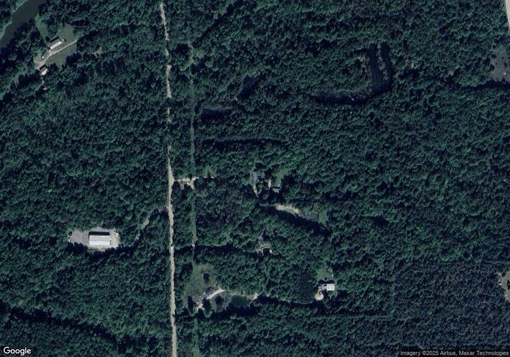
Map
Nearby Homes
- 3125 W Sanilac Rd
- 4661 S Sheridan Rd
- 4232 Washburn Rd
- 2643 S Ringle Rd
- 3120 Bruisee Rd
- 3330 Leix Rd
- 4539 W Saginaw Rd
- 4027 W Caro Rd
- 4198 Kirk Rd
- 4459 Kirk Rd
- 2011 W Blackmore Rd
- 0 Parcel A Ambrose Rd
- 1 Alexander Ln
- 725 Alexander Ln
- 6357 Sheridan Rd
- 959 N Cass Ave
- #0047 V L Maplegrove Ln
- #0092 V L Nature's Trail Rd
- #0091 V L Nature's Trail Rd
- #0101 V L Nature's Trail Rd
- 3685 Rowland Rd
- 3747 Rowland Rd
- 3765 Rowland Rd
- 3645 Rowland Rd
- 3809 Rowland Rd
- PARCEL D Rowland
- 3824 Rowland Rd
- 3620 Rowland Rd
- 3836 Rowland Rd
- 3796 Sheridan Rd
- 3609 W Sanilac Rd
- 3800 Sheridan Rd
- 3643 W Sanilac Rd
- 3629 W Sanilac Rd
- 3806 Sheridan Rd
- 3587 W Sanilac Rd
- 3810 Sheridan Rd
- 3877 W Sanilac Rd
- 3623 W Sanilac Rd
- 3875 Oak Rd