3687 Table Rock Rd Medford, OR 97504
Estimated Value: $304,000 - $341,033
3
Beds
1
Bath
1,218
Sq Ft
$267/Sq Ft
Est. Value
About This Home
This home is located at 3687 Table Rock Rd, Medford, OR 97504 and is currently estimated at $325,011, approximately $266 per square foot. 3687 Table Rock Rd is a home located in Jackson County with nearby schools including Wilson Elementary School, Hedrick Middle School, and North Medford High School.
Ownership History
Date
Name
Owned For
Owner Type
Purchase Details
Closed on
Dec 14, 2016
Sold by
Lane Kenneth C and Lane Geri L
Bought by
Jackson County
Current Estimated Value
Purchase Details
Closed on
Dec 19, 2005
Sold by
Lane Kenneth C and Lane Geri Leann
Bought by
Lane Kenneth C and Lane Geri L
Home Financials for this Owner
Home Financials are based on the most recent Mortgage that was taken out on this home.
Original Mortgage
$160,000
Interest Rate
6.87%
Mortgage Type
New Conventional
Purchase Details
Closed on
Feb 10, 2000
Sold by
Mccracken Tamera M
Bought by
Lane Kenneth C and Lane Geri Leann
Home Financials for this Owner
Home Financials are based on the most recent Mortgage that was taken out on this home.
Original Mortgage
$92,000
Interest Rate
8.87%
Create a Home Valuation Report for This Property
The Home Valuation Report is an in-depth analysis detailing your home's value as well as a comparison with similar homes in the area
Home Values in the Area
Average Home Value in this Area
Purchase History
| Date | Buyer | Sale Price | Title Company |
|---|---|---|---|
| Jackson County | $9,569 | Fa | |
| Lane Kenneth C | -- | Lawyers Title Ins | |
| Lane Kenneth C | $115,000 | Amerititle |
Source: Public Records
Mortgage History
| Date | Status | Borrower | Loan Amount |
|---|---|---|---|
| Previous Owner | Lane Kenneth C | $160,000 | |
| Previous Owner | Lane Kenneth C | $92,000 |
Source: Public Records
Tax History Compared to Growth
Tax History
| Year | Tax Paid | Tax Assessment Tax Assessment Total Assessment is a certain percentage of the fair market value that is determined by local assessors to be the total taxable value of land and additions on the property. | Land | Improvement |
|---|---|---|---|---|
| 2025 | $2,176 | $175,660 | $83,840 | $91,820 |
| 2024 | $2,176 | $170,550 | $119,360 | $51,190 |
| 2023 | $2,109 | $165,590 | $115,890 | $49,700 |
| 2022 | $2,060 | $165,590 | $115,890 | $49,700 |
| 2021 | $2,008 | $160,770 | $112,520 | $48,250 |
| 2020 | $1,960 | $156,090 | $109,250 | $46,840 |
| 2019 | $1,915 | $147,140 | $102,980 | $44,160 |
| 2018 | $1,867 | $142,860 | $99,990 | $42,870 |
| 2017 | $1,836 | $142,860 | $99,990 | $42,870 |
| 2016 | $1,809 | $135,220 | $103,740 | $31,480 |
| 2015 | $1,733 | $135,220 | $103,740 | $31,480 |
| 2014 | $1,707 | $127,470 | $97,800 | $29,670 |
Source: Public Records
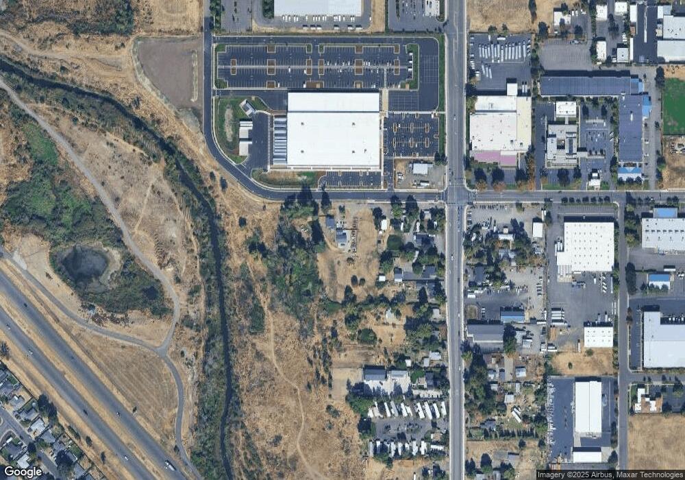
Map
Nearby Homes
- 460 Federal Way
- 1025 Fairfield Ave
- 811 O'Hare Pkwy
- 1017 Fairfield Ave
- 1060 Hopkins Rd
- 4121 Table Rock Rd
- 4105 Table Rock Rd
- 928 Brandi Way
- 4601 Biddle Rd Unit C
- 4251 Table Rock Rd
- 921 Pittview Ave
- 4404 Biddle Rd
- 3119 Merriman Rd
- 1840 E Pine St
- 4286 Hamrick Rd
- 201 Orchardview Cir
- 851 Juanita Way
- 881 Westrop Dr
- 223 Ridgeway Ave
- 571 Briarwood Dr
- 3663 Table Rock Rd
- 3621 Table Rock Rd
- 3705 Table Rock Rd
- 3649 Table Rock Rd
- 3595 Table Rock Rd
- 3579 Table Rock Rd
- 3567 Table Rock Rd
- 3622 Table Rock Rd
- 3543 Table Rock Rd
- 3521 Table Rock Rd
- 3634 Table Rock Rd
- 3528 Table Rock Rd
- 3558 Table Rock Rd
- 3479 Table Rock Rd Unit 5
- 3479 Table Rock Rd Unit 3
- 3524 Table Rock Rd
- 503 Airport Rd
- 3490 Table Rock Rd
- 3814 Table Rock Rd
- 3466 Table Rock Rd