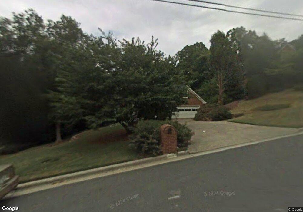
3689 Allenhurst Dr Norcross, GA 30092
Estimated Value: $668,000 - $764,000
5
Beds
3
Baths
2,867
Sq Ft
$244/Sq Ft
Est. Value
About This Home
This home is located at 3689 Allenhurst Dr, Norcross, GA 30092 and is currently estimated at $699,470, approximately $243 per square foot. 3689 Allenhurst Dr is a home located in Gwinnett County with nearby schools including Simpson Elementary School, Pinckneyville Middle School, and Norcross High School.
Ownership History
Date
Name
Owned For
Owner Type
Purchase Details
Closed on
Feb 5, 2025
Sold by
Disco Sherrie
Bought by
Disco Ronald Trust and Disco Sherrie Trust
Current Estimated Value
Purchase Details
Closed on
Apr 25, 2008
Sold by
Wilkins Betty C
Bought by
Disco Ronald and Disco Sherrie
Home Financials for this Owner
Home Financials are based on the most recent Mortgage that was taken out on this home.
Original Mortgage
$244,000
Interest Rate
5.84%
Mortgage Type
New Conventional
Create a Home Valuation Report for This Property
The Home Valuation Report is an in-depth analysis detailing your home's value as well as a comparison with similar homes in the area
Home Values in the Area
Average Home Value in this Area
Purchase History
| Date | Buyer | Sale Price | Title Company |
|---|---|---|---|
| Disco Ronald Trust | -- | -- | |
| Disco Ronald | $305,000 | -- |
Source: Public Records
Mortgage History
| Date | Status | Borrower | Loan Amount |
|---|---|---|---|
| Previous Owner | Disco Ronald | $244,000 |
Source: Public Records
Tax History
| Year | Tax Paid | Tax Assessment Tax Assessment Total Assessment is a certain percentage of the fair market value that is determined by local assessors to be the total taxable value of land and additions on the property. | Land | Improvement |
|---|---|---|---|---|
| 2025 | $2,137 | $273,560 | $50,160 | $223,400 |
| 2024 | $6,910 | $236,960 | $50,400 | $186,560 |
| 2023 | $6,910 | $209,800 | $44,000 | $165,800 |
| 2022 | $5,882 | $186,560 | $36,000 | $150,560 |
| 2021 | $5,377 | $155,720 | $35,520 | $120,200 |
| 2020 | $5,410 | $155,720 | $35,520 | $120,200 |
| 2019 | $5,055 | $147,720 | $30,000 | $117,720 |
| 2018 | $5,072 | $147,720 | $30,000 | $117,720 |
| 2016 | $4,541 | $129,680 | $24,000 | $105,680 |
| 2015 | $4,595 | $129,680 | $24,000 | $105,680 |
| 2014 | -- | $129,680 | $24,000 | $105,680 |
Source: Public Records
Map
Nearby Homes
- 3875 High Shoals Dr
- 3682 Cedar Corners Place
- 4168 Allenhurst Dr
- 4102 Ailey Ct
- 4698 Watervale Way
- 4698 Watervale Way Unit 155
- 3985 Duke Reserve Cir
- 4460 Flippen Trail
- 3639 Monticello Commons
- 4000 Peachtree Corners Cir Unit 1
- 3600 Centennial Square
- ASBURY Plan at Overlook at Peachtree Corners
- RUTHERFORD II Plan at Overlook at Peachtree Corners
- 3577 Overlook Rise Dr
- 3573 Overlook Rise Dr
- 5809 Alvaton Ct
- 4107 Little Leaf Ct Unit 9
- 3555 Monticello Commons
- 3555 Monticello Common
- 3657 Monticello
- 3699 Allenhurst Dr
- 3679 Allenhurst Dr
- 5702 Bloomingdale Ct Unit 2
- 3709 Allenhurst Dr
- 5692 Bloomingdale Ct
- 3688 Allenhurst Dr
- 3669 Allenhurst Dr Unit 3
- 3678 Allenhurst Dr
- 5732 Bridgeboro Way
- 3708 Allenhurst Dr
- 5703 Bloomingdale Ct Unit 2
- 3719 Allenhurst Dr Unit 3
- 5682 Bloomingdale Ct
- 5742 Bridgeboro Way
- 5745 Mershon Trail
- 5701 Spur Cir
- 3658 Allenhurst Dr
- 5754 Mershon Trail
- 5693 Bloomingdale Ct
- 3729 Allenhurst Dr
Your Personal Tour Guide
Ask me questions while you tour the home.