369 Brown Rd Mount Airy, NC 27030
Estimated Value: $338,000
Studio
--
Bath
--
Sq Ft
43,560
Sq Ft Lot
About This Home
This home is located at 369 Brown Rd, Mount Airy, NC 27030 and is currently estimated at $338,000. 369 Brown Rd is a home with nearby schools including Westfield Elementary School, Pilot Mountain Middle School, and East Surry High School.
Ownership History
Date
Name
Owned For
Owner Type
Purchase Details
Closed on
Jun 4, 2014
Sold by
Johnson Samuel E and Johnson Dianne J
Bought by
Jones Bobby James and Jones Janice Rebecca
Current Estimated Value
Purchase Details
Closed on
Aug 1, 2011
Sold by
Heath John Henry and Heath Amanda Katherine
Bought by
Johnson Samuel E and Johnson Dianne J
Purchase Details
Closed on
Mar 17, 2011
Sold by
Dinkins Easter Juanita and Easter Jr Robert R
Bought by
Heath John Henry
Purchase Details
Closed on
Oct 17, 2008
Sold by
Heath John Henry
Bought by
Easter Juanita Dinkins
Purchase Details
Closed on
Apr 28, 2006
Sold by
Barker Anthony C
Bought by
Heath Jenny Almeta
Create a Home Valuation Report for This Property
The Home Valuation Report is an in-depth analysis detailing your home's value as well as a comparison with similar homes in the area
Purchase History
| Date | Buyer | Sale Price | Title Company |
|---|---|---|---|
| Jones Bobby James | $21,000 | None Available | |
| Johnson Samuel E | $2,000 | None Available | |
| Heath John Henry | -- | None Available | |
| Easter Juanita Dinkins | -- | Chicago Title Insurance Comp | |
| Heath Jenny Almeta | $31,000 | None Available |
Source: Public Records
Tax History
| Year | Tax Paid | Tax Assessment Tax Assessment Total Assessment is a certain percentage of the fair market value that is determined by local assessors to be the total taxable value of land and additions on the property. | Land | Improvement |
|---|---|---|---|---|
| 2025 | $262 | $25,160 | $6,600 | $18,560 |
| 2024 | $187 | $12,320 | $6,000 | $6,320 |
| 2023 | $182 | $12,320 | $6,000 | $6,320 |
| 2022 | $179 | $12,320 | $6,000 | $6,320 |
| 2021 | $189 | $12,320 | $6,000 | $6,320 |
| 2020 | $186 | $12,320 | $6,000 | $6,320 |
| 2019 | $187 | $12,320 | $0 | $0 |
| 2018 | $185 | $12,320 | $0 | $0 |
| 2017 | $171 | $12,320 | $0 | $0 |
| 2016 | $176 | $12,320 | $0 | $0 |
| 2013 | -- | $9,500 | $0 | $0 |
Source: Public Records
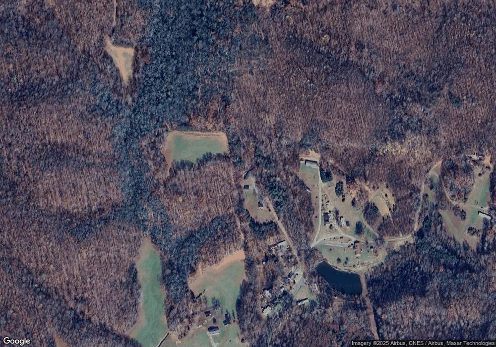
Map
Nearby Homes
- 106 Daniels Dell Ln
- 00 Albion Church Rd
- 733 Slate Mountain Rd
- Lot 4,5,6 Sideview Ln
- 000 N Carolina 89
- 1507 Rogers Rd
- 4140 Westfield Rd
- 2051 Toms Creek Church Rd
- 1195 Rogers Rd
- 3391 Asbury Rd
- TBD Asbury Rd
- 1178 Sunset Ridge Rd
- 2828 E Pine St
- 0 Blue Hollow Rd Unit 33 1176021
- 0 Blue Hollow Rd Unit 23105199
- 450 Pat Irwin Rd
- 0 Locust Grove Rd
- 375 Marshall Johnson Rd
- 00 Locust Grove Rd Unit 4
- 00 Locust Grove Rd Unit 2
- 72 Brown Rd
- 72 ACRES Brown Rd Unit 72
- 309 Brown Rd
- 148 Swansboro Ln
- 310 Brown Rd
- 261 Brown Rd
- 000 Swansboro Ln
- 221 Brown Rd
- 308 E Norman Rd
- 308 E Norman Rd
- 591 Woodville Rd
- 260 Alley Cat Ln
- 635 Woodville Rd
- 201 E Norman Rd
- 831 Norman Rd
- 687 Woodville Rd
- 715 Woodville Rd
- 223 E Norman Rd
- 797 Woodville Rd
- 515 Woodville Rd
Your Personal Tour Guide
Ask me questions while you tour the home.