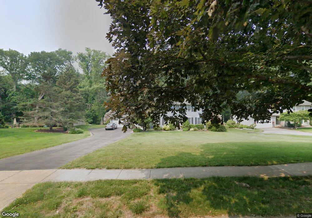
369 Carroll Rd Fairfield, CT 06824
University NeighborhoodEstimated Value: $1,570,675 - $1,777,000
4
Beds
4
Baths
3,428
Sq Ft
$485/Sq Ft
Est. Value
About This Home
This home is located at 369 Carroll Rd, Fairfield, CT 06824 and is currently estimated at $1,664,169, approximately $485 per square foot. 369 Carroll Rd is a home located in Fairfield County with nearby schools including Riverfield Elementary School, Roger Ludlowe Middle School, and Fairfield Ludlowe High School.
Ownership History
Date
Name
Owned For
Owner Type
Purchase Details
Closed on
Jun 29, 2007
Sold by
Murphy John A and Murphy Alayne L
Bought by
Ullman Robert A and Ullman Deirdre E
Current Estimated Value
Create a Home Valuation Report for This Property
The Home Valuation Report is an in-depth analysis detailing your home's value as well as a comparison with similar homes in the area
Home Values in the Area
Average Home Value in this Area
Purchase History
| Date | Buyer | Sale Price | Title Company |
|---|---|---|---|
| Ullman Robert A | $1,080,000 | -- | |
| Ullman Robert A | $1,080,000 | -- |
Source: Public Records
Mortgage History
| Date | Status | Borrower | Loan Amount |
|---|---|---|---|
| Open | Ullman Robert A | $417,000 | |
| Closed | Ullman Robert A | $415,000 |
Source: Public Records
Tax History
| Year | Tax Paid | Tax Assessment Tax Assessment Total Assessment is a certain percentage of the fair market value that is determined by local assessors to be the total taxable value of land and additions on the property. | Land | Improvement |
|---|---|---|---|---|
| 2025 | $20,447 | $720,230 | $330,190 | $390,040 |
| 2024 | $20,094 | $720,230 | $330,190 | $390,040 |
| 2023 | $19,814 | $720,230 | $330,190 | $390,040 |
| 2022 | $19,619 | $720,230 | $330,190 | $390,040 |
| 2021 | $19,432 | $720,230 | $330,190 | $390,040 |
| 2020 | $19,803 | $739,200 | $326,690 | $412,510 |
| 2019 | $19,803 | $739,200 | $326,690 | $412,510 |
| 2018 | $19,485 | $739,200 | $326,690 | $412,510 |
| 2017 | $19,086 | $739,200 | $326,690 | $412,510 |
| 2016 | $18,813 | $739,200 | $326,690 | $412,510 |
| 2015 | $18,354 | $740,390 | $344,540 | $395,850 |
| 2014 | $18,066 | $740,390 | $344,540 | $395,850 |
Source: Public Records
Map
Nearby Homes
- 105 Charter Oak Rd
- 1091 Round Hill Rd
- 1353 Mill Plain Rd
- 218 Lower Farm Rd
- 360 Duck Farm Rd
- 42 Robin Cir
- 148 Millspaugh Dr
- 1478 Jennings Rd
- 196 Robin Ln
- 359 Reid St
- 68 Figlar Ave
- 341 Crestwood Rd
- 245 Reid St
- 15 Barton Rd
- 115 Mayfair Rd
- 54 Ridgedale Rd
- 706 Judd St
- 20 Ermine St
- 41 Pepperbush Ln
- 164 Wakeman Rd
- 391 Carroll Rd
- 345 Carroll Rd
- 401 Carroll Rd
- 315 Carroll Rd
- 419 Carroll Rd
- 40 Thor Place
- 287 Carroll Rd
- 43 Thor Place
- 269 Carroll Rd
- 38 Thor Place
- 39 Thor Place
- 290 Carroll Rd
- 201 College Park Dr
- 251 Carroll Rd
- 96 Woods End Rd
- 179 College Park Dr
- 126 Woods End Rd
- 139 College Park Dr
- 139 College Park Dr Unit 139
- 13 Thor Place
Your Personal Tour Guide
Ask me questions while you tour the home.