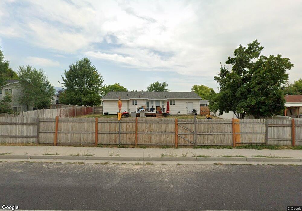
369 E 2475 N Unit 6 North Logan, UT 84341
Estimated Value: $416,604 - $458,000
5
Beds
3
Baths
2,375
Sq Ft
$182/Sq Ft
Est. Value
About This Home
This home is located at 369 E 2475 N Unit 6, North Logan, UT 84341 and is currently estimated at $432,901, approximately $182 per square foot. 369 E 2475 N Unit 6 is a home located in Cache County with nearby schools including Greenville School, Cedar Ridge School, and North Cache Middle School.
Ownership History
Date
Name
Owned For
Owner Type
Purchase Details
Closed on
Jan 21, 2025
Sold by
Cameron Trenton and Cameron Lori
Bought by
North Logan Mountain View Llc
Current Estimated Value
Purchase Details
Closed on
Jul 7, 2016
Sold by
Greene Brent
Bought by
Blanchard Michael Francis and Blanchard Kelly Lynn
Home Financials for this Owner
Home Financials are based on the most recent Mortgage that was taken out on this home.
Original Mortgage
$161,000
Interest Rate
3.6%
Mortgage Type
New Conventional
Create a Home Valuation Report for This Property
The Home Valuation Report is an in-depth analysis detailing your home's value as well as a comparison with similar homes in the area
Home Values in the Area
Average Home Value in this Area
Purchase History
| Date | Buyer | Sale Price | Title Company |
|---|---|---|---|
| North Logan Mountain View Llc | -- | None Listed On Document | |
| North Logan Mountain View Llc | -- | None Listed On Document | |
| Blanchard Michael Francis | -- | Cache Title Logan |
Source: Public Records
Mortgage History
| Date | Status | Borrower | Loan Amount |
|---|---|---|---|
| Previous Owner | Blanchard Michael Francis | $161,000 |
Source: Public Records
Tax History
| Year | Tax Paid | Tax Assessment Tax Assessment Total Assessment is a certain percentage of the fair market value that is determined by local assessors to be the total taxable value of land and additions on the property. | Land | Improvement |
|---|---|---|---|---|
| 2025 | $1,598 | $223,615 | $0 | $0 |
| 2024 | $1,550 | $201,965 | $0 | $0 |
| 2023 | $1,629 | $198,545 | $0 | $0 |
| 2022 | $1,705 | $198,545 | $0 | $0 |
| 2021 | $1,682 | $303,795 | $75,000 | $228,795 |
| 2020 | $1,394 | $236,035 | $75,000 | $161,035 |
| 2019 | $1,460 | $236,034 | $75,000 | $161,034 |
| 2018 | $1,180 | $185,030 | $45,000 | $140,030 |
| 2017 | $1,148 | $94,765 | $0 | $0 |
| 2016 | $1,166 | $94,765 | $0 | $0 |
| 2015 | $1,072 | $86,770 | $0 | $0 |
| 2014 | $1,046 | $86,770 | $0 | $0 |
| 2013 | -- | $84,295 | $0 | $0 |
Source: Public Records
Map
Nearby Homes
- 623 E 2475 N Unit 5
- 645 E 2475 N
- 667 E 2475 N
- 2592 N 330 E
- 2460 N 200 E
- 2452 N 200 E
- 2640 N Aspen Park Ln
- 2664 N 330 E
- 385 E 2280 N Unit D
- 161 E 2440 N
- 2469 N 620 E Unit 3
- 2477 N 620 E Unit 4
- 2386 N 150 E
- 327 E 2230 N Unit A
- 2070 U S 91
- 2284 N 740 E
- 2048 N 350 E
- 741 E 2200 N
- 710 E 2160 N
- 2807 N Main St
Your Personal Tour Guide
Ask me questions while you tour the home.