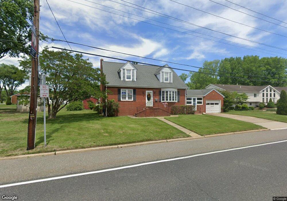
369 E Broad St Gibbstown, NJ 08027
Estimated Value: $276,453 - $394,000
Studio
--
Bath
1,920
Sq Ft
$183/Sq Ft
Est. Value
About This Home
This home is located at 369 E Broad St, Gibbstown, NJ 08027 and is currently estimated at $350,863, approximately $182 per square foot. 369 E Broad St is a home located in Gloucester County with nearby schools including Nehaunsey Middle School and Guardian Angels Regional School.
Ownership History
Date
Name
Owned For
Owner Type
Purchase Details
Closed on
Dec 11, 2013
Sold by
Markegene Frank and Markegene Antoinette D
Bought by
Markegene Antoinette D
Current Estimated Value
Purchase Details
Closed on
Apr 28, 1997
Sold by
Markegene Frank and Markegene Antoinette
Bought by
Markegene Frank and Markegene Antoinette
Create a Home Valuation Report for This Property
The Home Valuation Report is an in-depth analysis detailing your home's value as well as a comparison with similar homes in the area
Home Values in the Area
Average Home Value in this Area
Purchase History
| Date | Buyer | Sale Price | Title Company |
|---|---|---|---|
| Markegene Antoinette D | -- | -- | |
| Markegene Frank | -- | -- |
Source: Public Records
Tax History
| Year | Tax Paid | Tax Assessment Tax Assessment Total Assessment is a certain percentage of the fair market value that is determined by local assessors to be the total taxable value of land and additions on the property. | Land | Improvement |
|---|---|---|---|---|
| 2025 | $6,080 | $176,600 | $24,200 | $152,400 |
| 2024 | $5,761 | $176,600 | $24,200 | $152,400 |
Source: Public Records
Map
Nearby Homes
- 318 E Broad St
- 135 Mellon Ave
- 268 Memorial Ave
- L18 20 W Broad St
- 1311 Penn Line Rd
- 255 Elizabeth Ave
- 157 S School St
- 269 W Broad St
- 0 Swedesboro Ave Unit NJGL2061592
- 1003 Hoffman Ave
- 101 Giammarino Ave
- 361 Democrat Rd
- 227 W Washington St
- 227 W Buck St
- 205 W Adams St
- 1224 Heddon Ave
- 122 W Washington St
- 1221 Walter Ave
- 53-55 Roosevelt St
- 433 Jefferson St
Your Personal Tour Guide
Ask me questions while you tour the home.