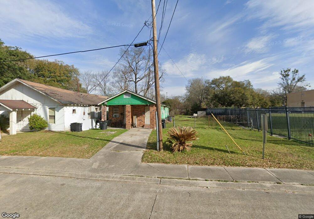
369 E Harding St Baton Rouge, LA 70802
Highlands/Perkins NeighborhoodEstimated Value: $37,000 - $92,000
Studio
--
Bath
--
Sq Ft
9,148
Sq Ft
About This Home
This home is located at 369 E Harding St, Baton Rouge, LA 70802 and is currently estimated at $57,865. 369 E Harding St is a home located in East Baton Rouge Parish with nearby schools including Glasgow Middle School, McKinley Senior High School, and St. Francis Xavier School.
Ownership History
Date
Name
Owned For
Owner Type
Purchase Details
Closed on
Aug 19, 2024
Sold by
Ranias Realty Llc
Bought by
Rbc 2677 Nicholson Llc
Current Estimated Value
Home Financials for this Owner
Home Financials are based on the most recent Mortgage that was taken out on this home.
Original Mortgage
$2,574,724
Outstanding Balance
$2,545,700
Interest Rate
6.89%
Mortgage Type
New Conventional
Estimated Equity
-$2,487,835
Create a Home Valuation Report for This Property
The Home Valuation Report is an in-depth analysis detailing your home's value as well as a comparison with similar homes in the area
Home Values in the Area
Average Home Value in this Area
Purchase History
| Date | Buyer | Sale Price | Title Company |
|---|---|---|---|
| Rbc 2677 Nicholson Llc | $1,247,506 | None Listed On Document | |
| Rbc 2677 Nicholson Llc | $1,247,506 | None Listed On Document |
Source: Public Records
Mortgage History
| Date | Status | Borrower | Loan Amount |
|---|---|---|---|
| Open | Rbc 2677 Nicholson Llc | $2,574,724 | |
| Closed | Rbc 2677 Nicholson Llc | $2,574,724 |
Source: Public Records
Tax History
| Year | Tax Paid | Tax Assessment Tax Assessment Total Assessment is a certain percentage of the fair market value that is determined by local assessors to be the total taxable value of land and additions on the property. | Land | Improvement |
|---|---|---|---|---|
| 2024 | $235 | $1,915 | $123 | $1,792 |
| 2023 | $224 | $1,710 | $110 | $1,600 |
| 2022 | $204 | $1,710 | $110 | $1,600 |
| 2021 | $200 | $1,710 | $110 | $1,600 |
| 2020 | $198 | $1,710 | $110 | $1,600 |
| 2019 | $188 | $1,550 | $100 | $1,450 |
| 2018 | $185 | $1,550 | $100 | $1,450 |
| 2017 | $185 | $1,550 | $100 | $1,450 |
| 2016 | $122 | $1,043 | $100 | $943 |
| 2015 | $175 | $1,500 | $100 | $1,400 |
| 2014 | $174 | $1,500 | $100 | $1,400 |
| 2013 | -- | $1,500 | $100 | $1,400 |
Source: Public Records
Map
Nearby Homes
- 2389 Tennessee St
- 262 E Grant St
- 824 E Polk St
- 2012 Alabama St
- 2017 Nebraska St
- 1947 Alabama St
- 1965 Kansas St
- 2227 Kentucky St
- 1820 Nebraska St
- 1952 Thomas H Delpit Dr
- 1954 Alabama St
- 478 W Johnson St
- 432 W Grant St
- 1907 Kansas St
- 2130 Minnesota St
- 230 Taylor St
- 3005 Highland Rd Unit 27
- 180 W Harrison St
- 3101 Highland Rd Unit 204
- 3101 Highland Rd Unit 301
- 0 E Harding St
- 362 E Harding St
- 360 E Polk St
- 350 E Polk St
- 374 E Harding St
- 344 E Harding St
- 338 E Polk St
- 273 E Harding St
- 454 E Harding St
- 270 E Harding St
- 245 E Harding St
- 321 Taft St
- 260 E Harding St
- 301 Taft St
- 260 E Polk St
- 220 E Harding St
- 401 Taft St
- 508 E Harding St
- 253 Taft St
- 241 Taft St
Your Personal Tour Guide
Ask me questions while you tour the home.