369 George Cole Rd New Portland, ME 04961
Estimated Value: $191,000 - $236,000
1
Bed
1
Bath
816
Sq Ft
$263/Sq Ft
Est. Value
About This Home
This home is located at 369 George Cole Rd, New Portland, ME 04961 and is currently estimated at $214,865, approximately $263 per square foot. 369 George Cole Rd is a home.
Ownership History
Date
Name
Owned For
Owner Type
Purchase Details
Closed on
Sep 14, 2020
Sold by
Hanczar Nykola K
Bought by
Dentico Michael
Current Estimated Value
Home Financials for this Owner
Home Financials are based on the most recent Mortgage that was taken out on this home.
Original Mortgage
$76,200
Outstanding Balance
$67,497
Interest Rate
2.8%
Mortgage Type
New Conventional
Estimated Equity
$147,368
Create a Home Valuation Report for This Property
The Home Valuation Report is an in-depth analysis detailing your home's value as well as a comparison with similar homes in the area
Home Values in the Area
Average Home Value in this Area
Purchase History
| Date | Buyer | Sale Price | Title Company |
|---|---|---|---|
| Dentico Michael | -- | None Available |
Source: Public Records
Mortgage History
| Date | Status | Borrower | Loan Amount |
|---|---|---|---|
| Open | Dentico Michael | $76,200 |
Source: Public Records
Tax History Compared to Growth
Tax History
| Year | Tax Paid | Tax Assessment Tax Assessment Total Assessment is a certain percentage of the fair market value that is determined by local assessors to be the total taxable value of land and additions on the property. | Land | Improvement |
|---|---|---|---|---|
| 2024 | $2,090 | $148,200 | $38,800 | $109,400 |
| 2023 | $1,955 | $141,700 | $32,300 | $109,400 |
| 2022 | $2,146 | $145,000 | $32,300 | $112,700 |
| 2021 | $2,307 | $108,300 | $24,800 | $83,500 |
| 2020 | $2,491 | $108,300 | $24,800 | $83,500 |
| 2019 | $2,069 | $108,300 | $24,800 | $83,500 |
| 2018 | $1,881 | $103,900 | $22,800 | $81,100 |
| 2017 | $1,860 | $103,900 | $22,800 | $81,100 |
| 2016 | $1,783 | $99,600 | $20,800 | $78,800 |
| 2015 | $1,651 | $97,100 | $20,800 | $76,300 |
| 2014 | $1,652 | $97,200 | $20,800 | $76,400 |
| 2013 | $1,596 | $92,800 | $14,800 | $78,000 |
Source: Public Records
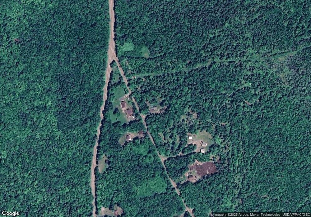
Map
Nearby Homes
- 461 Long Falls Dam Rd
- Lot 76.3 23 Acres Off Long Falls Dam Rd
- 2401 Long Falls Dam Rd
- 307 Gilman Pond Rd
- 205 Long Falls Dam Rd
- 176 Long Falls Dam Rd
- 18 Pinkham Rd
- 28 Long Falls Dam Rd
- 22 Long Falls Dam Rd
- 283 Meadow Brook Rd
- 320 School St
- M12 Lot 5 22
- 56 School St
- Lot # 16.2 Lane Pond Rd
- 785 Carrying Place Rd
- 34 Birch Rd
- 46-1 Millay Hill Rd
- 1 Katie Crotch Rd
- 14 Fall Dr
- M7 L1-20 Off Pine Bluff Dr
- 375 George Cole Rd
- M4 L12,13, George Cole Rd
- 348 George Cole Rd
- 332 George Cole Rd
- 481 Long Falls Dam Rd
- 1 Long Falls Dam Rd
- 000 Long Falls Dam Rd
- 359 George Cole Rd
- 311 George Cole Rd
- 0 Long Falls Dam Rd
- 0 Long Falls Dam Rd Unit 796666
- 0 Long Falls Dam Rd Unit 725311
- 0 Long Falls Dam Rd Unit 706889
- 0 Long Falls Dam Rd Unit 618757
- 0 Long Falls Dam Rd Unit 488549
- 0 Long Falls Dam Rd Unit 249323
- 0 Long Falls Dam Rd Unit 1573083
- 0 Long Falls Dam Rd Unit 4450091
- 302 George Cole Rd
- 283 George Cole Rd