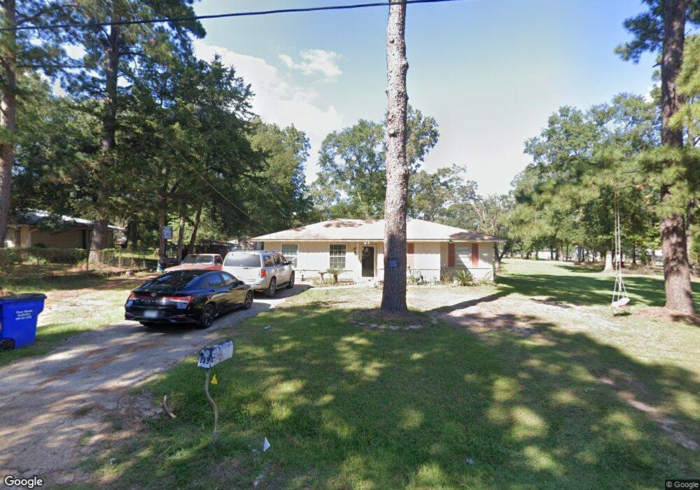
369 Mcshane Cir Lufkin, TX 75901
Estimated Value: $102,856 - $139,000
3
Beds
1
Bath
928
Sq Ft
$131/Sq Ft
Est. Value
About This Home
This home is located at 369 Mcshane Cir, Lufkin, TX 75901 and is currently estimated at $121,952, approximately $131 per square foot. 369 Mcshane Cir is a home located in Angelina County with nearby schools including Herty Primary School, Coston Elementary School, and Lufkin Middle School.
Ownership History
Date
Name
Owned For
Owner Type
Purchase Details
Closed on
Dec 5, 2011
Sold by
Guerrero Antonio and Guerrero Yolanda
Bought by
Torre Octavio De La and Vallejo Nashiely
Current Estimated Value
Purchase Details
Closed on
Nov 17, 2005
Sold by
Lowe Melvin and Lowe Johnny Ray
Bought by
Guerrero John E and Alaniz Hope E
Home Financials for this Owner
Home Financials are based on the most recent Mortgage that was taken out on this home.
Original Mortgage
$11,500
Interest Rate
6.06%
Mortgage Type
Purchase Money Mortgage
Create a Home Valuation Report for This Property
The Home Valuation Report is an in-depth analysis detailing your home's value as well as a comparison with similar homes in the area
Purchase History
| Date | Buyer | Sale Price | Title Company |
|---|---|---|---|
| Torre Octavio De La | -- | None Available | |
| Guerrero John E | $11,500 | None Available |
Source: Public Records
Mortgage History
| Date | Status | Borrower | Loan Amount |
|---|---|---|---|
| Previous Owner | Guerrero John E | $11,500 |
Source: Public Records
Tax History
| Year | Tax Paid | Tax Assessment Tax Assessment Total Assessment is a certain percentage of the fair market value that is determined by local assessors to be the total taxable value of land and additions on the property. | Land | Improvement |
|---|---|---|---|---|
| 2025 | $1,468 | $92,850 | $28,400 | $64,450 |
| 2024 | $1,446 | $91,430 | $28,400 | $63,030 |
| 2023 | $1,365 | $90,490 | $28,400 | $62,090 |
| 2022 | $1,225 | $69,870 | $11,700 | $58,170 |
| 2021 | $1,234 | $63,860 | $11,700 | $52,160 |
| 2020 | $1,041 | $54,020 | $7,220 | $46,800 |
| 2019 | $1,131 | $54,700 | $7,220 | $47,480 |
| 2018 | $955 | $53,260 | $7,220 | $46,040 |
| 2017 | $955 | $51,550 | $7,220 | $44,330 |
| 2016 | $943 | $50,880 | $7,220 | $43,660 |
| 2015 | -- | $50,880 | $7,220 | $43,660 |
| 2014 | -- | $48,350 | $7,220 | $41,130 |
Source: Public Records
Map
Nearby Homes
- 504 John Kolb Rd
- 311 Four B Ln
- 401 Albritton Ln
- 135 Dudley Rd
- 137 Woods Rd
- 5362 Texas 103
- 3012 Fm 325
- 2915 Freeman St
- 1221 Lone Star Rd
- 706 Neches St
- 0 Golf Course Rd
- 1920 Farm To Market 842
- 702 Maxwell St
- 0 N Highway 69
- 2549 N Highway 69
- 4344 N Highway 69
- Tract 189 N Highway 69
- 2232 N Medford Dr
- 1395 Wilkerson Rd
- 1603 Atkinson Dr
- 333 Mcshane Cir
- 192 Anthony Dr
- 271 Anthony Dr
- 319 Mcshane Cir
- 378 John Kolb Rd
- 438 John Kolb Rd
- 402 John Kolb Rd
- 270 Mcshane Cir
- 120 Nobia Rd
- 385 John Kolb Rd
- 263 Mcshane Cir
- 204 Shady Pine St
- 208 Shady Pine St
- 186 Floyd Dr
- 425 John Kolb Rd
- 243 Floyd Dr
- 0 Floyd Dr
- 204 Mcshane Cir
- 188 Mcshane Cir
- 502 John Kolb Rd
Your Personal Tour Guide
Ask me questions while you tour the home.